MyTopo
Big Creek Mississippi US Topo Map
Couldn't load pickup availability
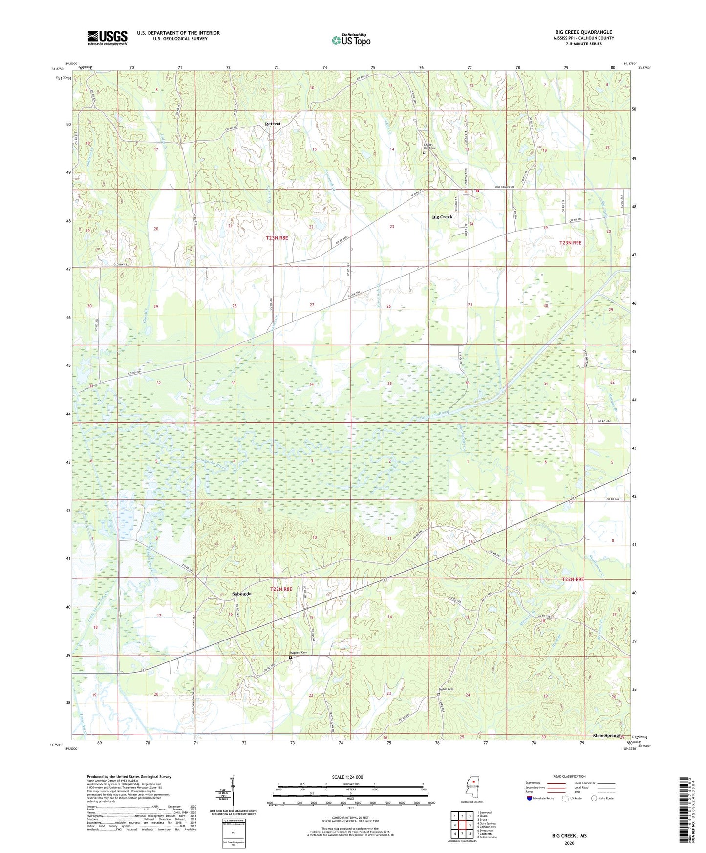
2020 topographic map quadrangle Big Creek in the state of Mississippi. Scale: 1:24000. Based on the newly updated USGS 7.5' US Topo map series, this map is in the following counties: Calhoun. The map contains contour data, water features, and other items you are used to seeing on USGS maps, but also has updated roads and other features. This is the next generation of topographic maps. Printed on high-quality waterproof paper with UV fade-resistant inks.
Quads adjacent to this one:
West: Gore Springs
Northwest: Benwood
North: Skuna
Northeast: Bruce
East: Calhoun City
Southeast: Bellefontaine
South: Cadaretta
Southwest: Sweatman
Contains the following named places: Bethel Cemetery, Bethel Church, Big Creek, Big Creek Fire Department, Chapel Hill Cemetery, Chapel Hill Church, Chapel Hill School, Coles Creek, Coles Creek School, Gaines Chapel, Gaines Creek, Grenada State Waterfowl Management Area, Hood Branch, Horse Pen Creek, Johnson Creek, Lickup Creek, Little Horse Pen Creek, Mageehee Lake Dam, Magness Cemetery, McPhail Branch, Mitchell Branch, Morgan Branch, Reagan, Retreat, Sabougla, Sabougla Creek Canal, Savannah Creek, Shutispear Creek, Topashaw Creek Canal, Upper Yalobusha Public Use Area, Village of Big Creek, Yalobusha River Canal, ZIP Code: 38914