MyTopo
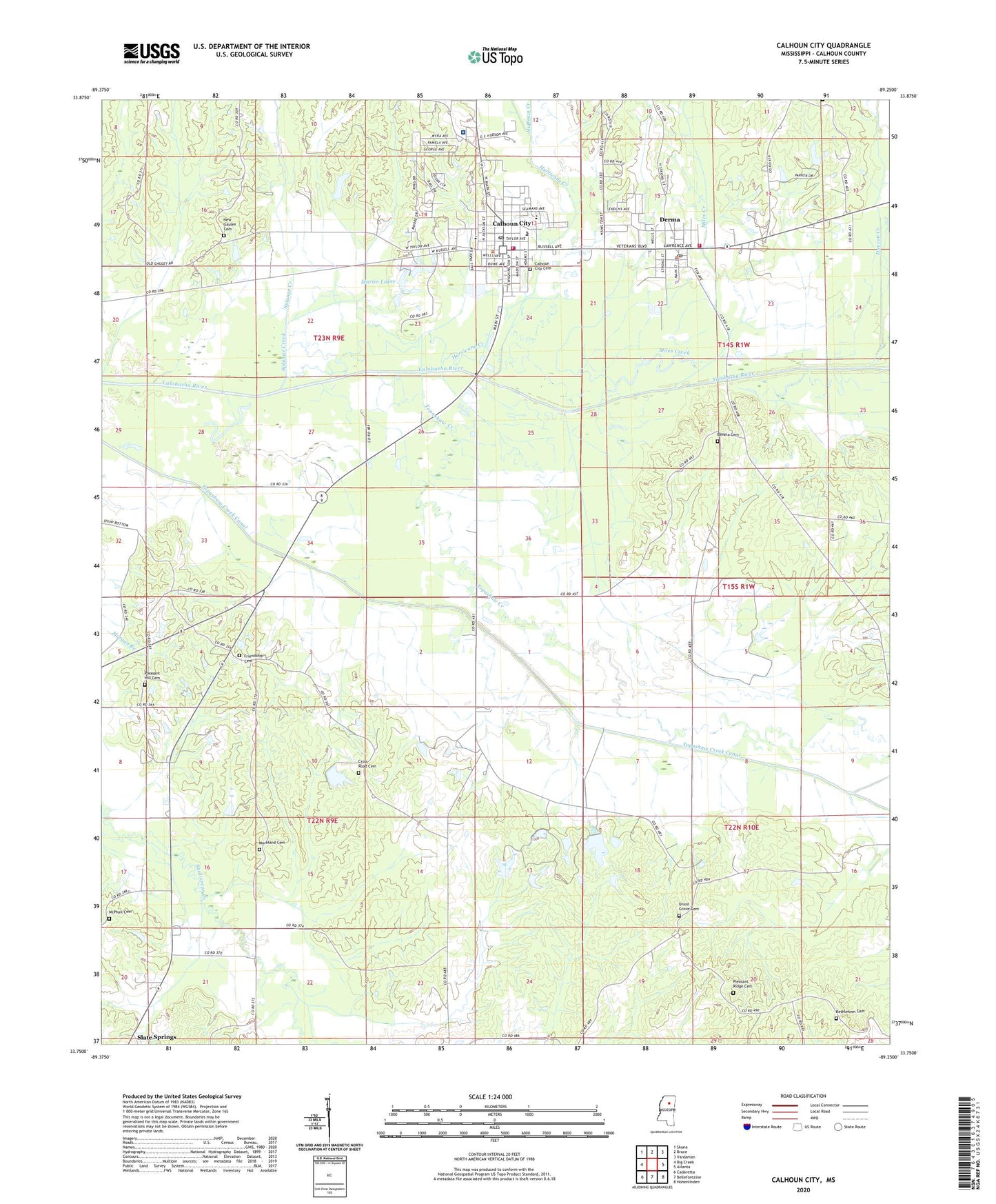
Calhoun City Mississippi US Topo Map
Couldn't load pickup availability
2024 topographic map quadrangle Calhoun City in the state of Mississippi. Scale: 1:24000. Based on the newly updated USGS 7.5' US Topo map series, this map is in the following counties: Calhoun. The map contains contour data, water features, and other items you are used to seeing on USGS maps, but also has updated roads and other features. This is the next generation of topographic maps. Printed on high-quality waterproof paper with UV fade-resistant inks.
Quads adjacent to this one:
West: Big Creek
Northwest: Skuna
North: Bruce
Northeast: Vardaman
East: Atlanta
Southeast: Hohenlinden
South: Bellefontaine
Southwest: Cadaretta
This map covers the same area as the classic USGS quad with code o33089g3.
Contains the following named places: Baptist Memorial Hospital Calhoun, Bear Creek, Benela, Benela Cemetery, Benela Church, Bethlehem, Bethlehem Cemetery, Bethlehem Church, Calhoun City, Calhoun City Cemetery, Calhoun City Elementary School, Calhoun City Fire Department, Calhoun City Fire Department Station 2, Calhoun City High School, Calhoun City Middle School, Calhoun City Police Department, Calhoun City Post Office, Cross Road Cemetery, Cross Road Church, Derma, Derma Fire Department, Derma Police Department, Derma Post Office, Dobbs Lake Dam, Dolan Lake Dam, Duncan Creek, Friendship Cemetery, Friendship Church, Hardin Lake Dam, Haywood School, Hopewell, Huffman Creek, Hurricane Creek, Keas Bridge, Lusious Lake Dam, Martin Lake Dam, Martin Lakes, McPhail Cemetery, Miles Creek, Moreland Cemetery, New Gauley Cemetery, New Gauley Church, Parker Pond Dam, Pine Grove Church, Pine Grove School, Pleasant Hill Cemetery, Pleasant Hill Church, Pleasant Ridge Cemetery, Pleasant Ridge Church, Rainbow Field, Reedy Chapel, Saint James Church, Splunge Creek, Supervisor District 4, Topashaw Creek, Town of Calhoun City, Town of Derma, Union Grove Cemetery, Union Grove Church, WJRL-AM (Calhoun City), Worford Church, Worford School, ZIP Code: 38916


