MyTopo
Coles Point Mississippi US Topo Map
Couldn't load pickup availability
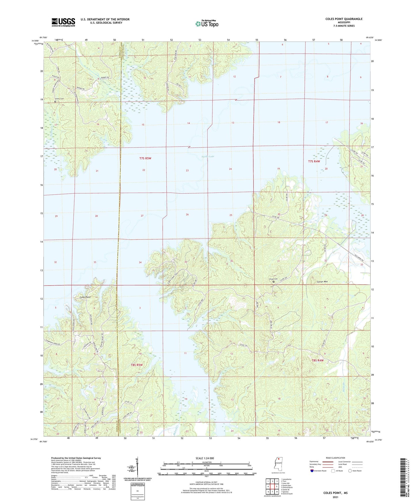
2021 topographic map quadrangle Coles Point in the state of Mississippi. Scale: 1:24000. Based on the newly updated USGS 7.5' US Topo map series, this map is in the following counties: Lafayette, Panola. The map contains contour data, water features, and other items you are used to seeing on USGS maps, but also has updated roads and other features. This is the next generation of topographic maps. Printed on high-quality waterproof paper with UV fade-resistant inks.
Quads adjacent to this one:
West: Sardis Dam
Northwest: Looxahoma
North: Tyro
Northeast: Laws Hill
East: Oxford North
Southeast: Oxford South
South: Splinter
Southwest: Sardis SE
Contains the following named places: Andrews Chapel, Buford Creek, Burlingham, Caines School, Camp Phoenix, Carter Mountain, Carters Store, Clear Creek, Clear Creek Landing Public Use Area, Coils Ferry, Coles Point, Coles Point Public Use Area, Coontown Crossing Public Use Area, Davidson School, Deacon Ridge Public Use Area, Dillard School, Dunlap Pond Dam, Eaton, Elijah Cemetery, Elijah Church, Emery Cemetery, Emery Church, Galilee Church, Gomez, Greasy Creek, Haleys Chapel, Hoke Creek, Iron Bridge, Lott Branch, Oak Grove Church, Oak Grove School, Pats Bluff Public Use Area, Pearly Gate Church, Pine Lake Dam, Sardis Lake, Slates Store, Spring Hill Church, Talbert Pond Dam, Toby Tubby Church, Toby Tubby Creek, Toby Tubby Ferry, Wallace School