MyTopo
Ovett SE Mississippi US Topo Map
Couldn't load pickup availability
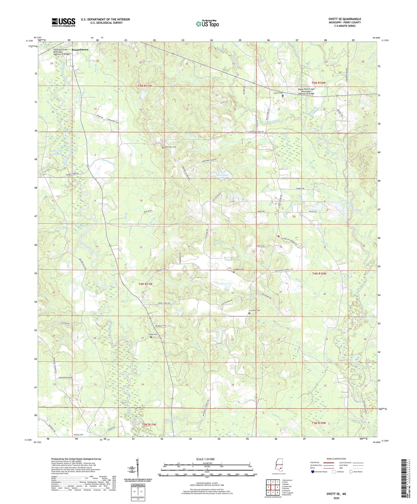
2020 topographic map quadrangle Ovett SE in the state of Mississippi. Scale: 1:24000. Based on the newly updated USGS 7.5' US Topo map series, this map is in the following counties: Perry. The map contains contour data, water features, and other items you are used to seeing on USGS maps, but also has updated roads and other features. This is the next generation of topographic maps. Printed on high-quality waterproof paper with UV fade-resistant inks.
Quads adjacent to this one:
West: Carterville
Northwest: Barrontown
North: Ovett
Northeast: Rhodes
East: Richton
Southeast: Beaumont
South: New Augusta
Southwest: McLaurin
Contains the following named places: B Conway Lake Dam, Bear Branch, Bethel Church, Blue Lake, Bogue Homo Creek Boat Ramp, Bogue Homo Creek Mississippi Highway 42 Bridge, Buck Creek, Buck Creek Church, Burch Cemetery, Buzzard Branch, Carter Branch, Chatman Branch, Clear Lake, Courthey Cemetery, D C Leach Lake Dam, Dry Branch, Eddy Lake, Flat Branch, Frances Branch, Gandy Lake, Gandy Lake Dam, Grantham Lake, Grapevine Branch, Hammock Branch, Harper Branch, Hickory Grove Church, Holiness Church, Hood Branch, Hurricane Bay, Izola Lake, James Cemetery, McGilvary Cemetery, Memorial Church, Merritt Springs Branch, Middle Lake, Mill Creek, Nicholson Branch, Pitts Branch, Prospect Cemetery, Prospect Church, Providence Church, Ready Branch, Round Lake, Rubin Lake, Runnelstown Volunteer Fire Department Station 2, Sapp Branch, Sportsman Lake, Sportsman Lake Dam, Supervisor District 2, Tallahalla Creek Mississippi Highway 42 Bridge, Thomas Creek, Underwood Branch, Vernon McDonnell Pond Dam, White Branch, Young Mobile Home Park