MyTopo
Ovett Mississippi US Topo Map
Couldn't load pickup availability
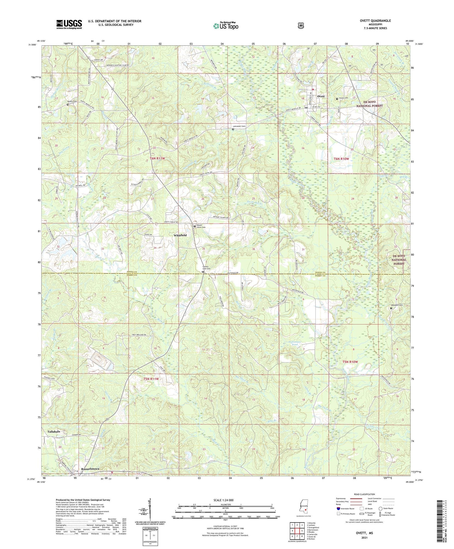
2021 topographic map quadrangle Ovett in the state of Mississippi. Scale: 1:24000. Based on the newly updated USGS 7.5' US Topo map series, this map is in the following counties: Jones, Perry. The map contains contour data, water features, and other items you are used to seeing on USGS maps, but also has updated roads and other features. This is the next generation of topographic maps. Printed on high-quality waterproof paper with UV fade-resistant inks.
Quads adjacent to this one:
West: Barrontown
Northwest: Ellisville
North: Lanham
Northeast: Strengthford
East: Rhodes
Southeast: Richton
South: Ovett SE
Southwest: Carterville
Contains the following named places: Allan Branch, Baylss Branch, Beech Cemetery, Big Thick Branch, Bridge Branch, Carl Hollomans Pond Dam, County Line Baptist Church, County Line Cemetery, Driving Branch, Dry Prong, Faith Baptist Church, Fox, Hall Branch, Hog Branch, Hollomans Mills, Hollomans Pond, Hull Mill, Jesus Name Church, Lancaster Branch, Lancaster Cemetery, Linda Creek, McInnis Mill, Mike Branch, Mill Creek, Ovett, Ovett Baptist Church, Ovett Cemetery, Ovett Census Designated Place, Ovett Post Office, Ovett School, Ovett Volunteer Fire Department, Piney Grove Church, Redbank Branch, Runnelstown, Runnelstown Census Designated Place, Runnelstown Elementary School, Runnelstown First Baptist Church, Runnelstown Volunteer Fire Department, Smith Mill Creek, Sweetwater Creek, Tallahala, Tiger Creek, Vickers Lake Dam, Welcome Home Jesus Name Church, Whitfield, Whitfield Baptist Church, Whitfield Line School, Woodard Cemetery, ZIP Code: 39464