MyTopo
Rattlesnake Bayou Mississippi US Topo Map
Couldn't load pickup availability
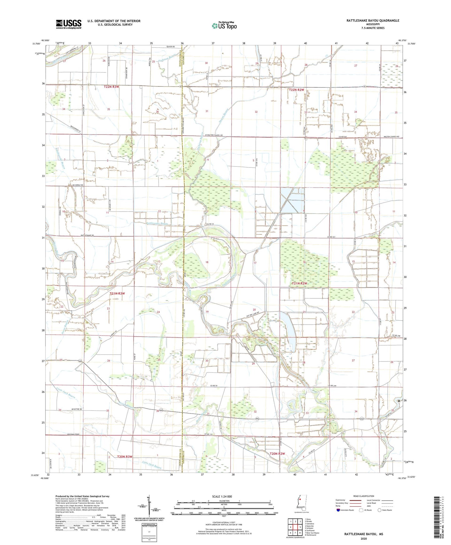
2020 topographic map quadrangle Rattlesnake Bayou in the state of Mississippi. Scale: 1:24000. Based on the newly updated USGS 7.5' US Topo map series, this map is in the following counties: Leflore, Sunflower. The map contains contour data, water features, and other items you are used to seeing on USGS maps, but also has updated roads and other features. This is the next generation of topographic maps. Printed on high-quality waterproof paper with UV fade-resistant inks.
Quads adjacent to this one:
West: Ruleville
Northwest: Drew
North: Brooks
Northeast: Glendora
East: Schlater
Southeast: Shellmound
South: Bear Gut Bayou
Southwest: Sunflower
Contains the following named places: Church of God, Dugan Bayou, Fighting Bayou, Gidwitz School, Harts Church, Hugh Aarant Ponds Dam, I John Church, Jones Chapel, McNutt Cemetery, Morning Star Church, Mount Vernon Church, Naird Church, New Bethel Church, Pecan Bayou, Peedee Plantation Lake, Peters Rock Church, Rattlesnake Bayou, Saint Marks Church, Saint Mary Church, Truevine Church, Union Grove Church, Williams Chapel