MyTopo
Glendora Mississippi US Topo Map
Couldn't load pickup availability
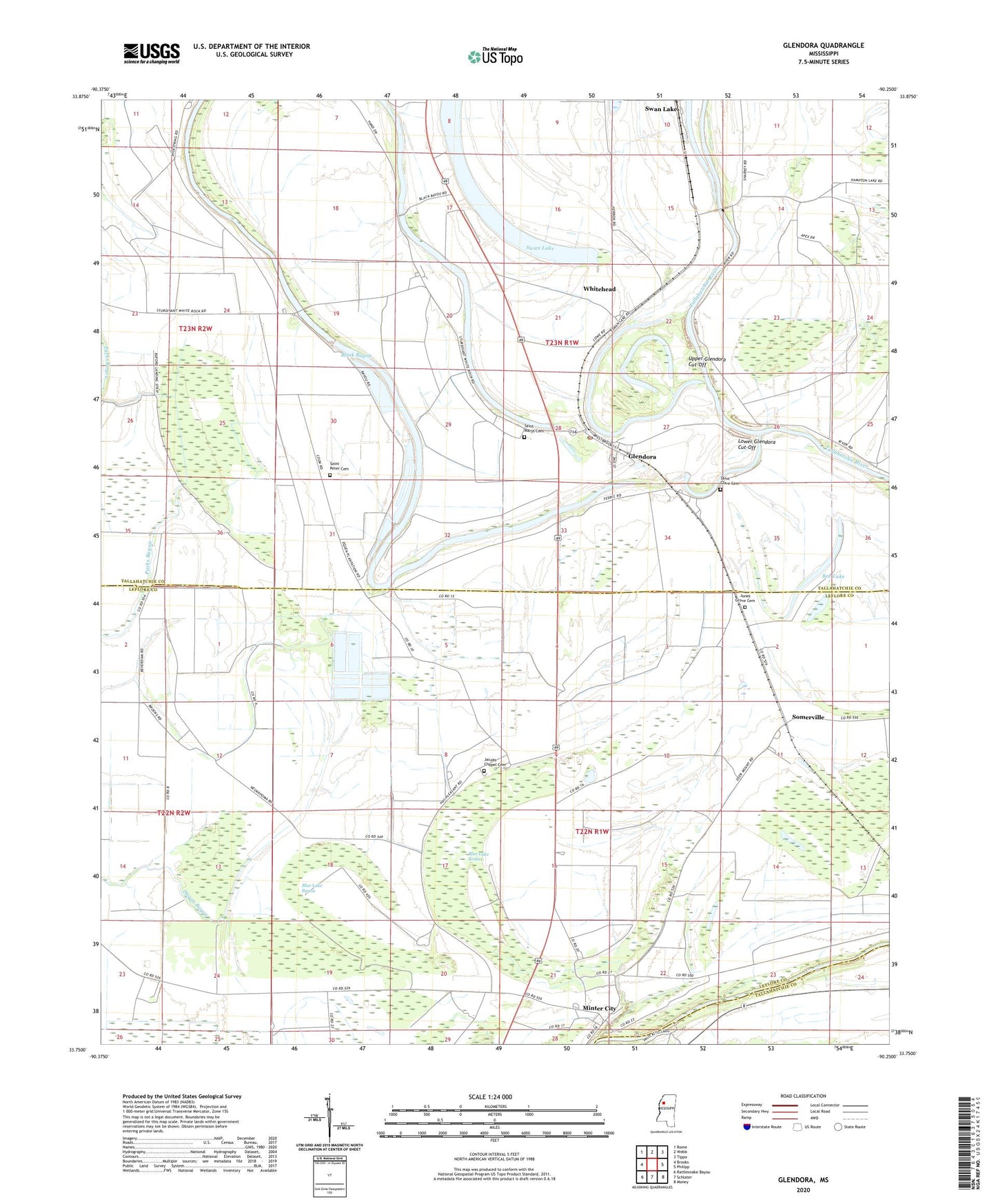
2024 topographic map quadrangle Glendora in the state of Mississippi. Scale: 1:24000. Based on the newly updated USGS 7.5' US Topo map series, this map is in the following counties: Tallahatchie, Leflore. The map contains contour data, water features, and other items you are used to seeing on USGS maps, but also has updated roads and other features. This is the next generation of topographic maps. Printed on high-quality waterproof paper with UV fade-resistant inks.
Quads adjacent to this one:
West: Brooks
Northwest: Rome
North: Webb
Northeast: Tippo
East: Philipp
Southeast: Money
South: Schlater
Southwest: Rattlesnake Bayou
This map covers the same area as the classic USGS quad with code o33090g3.
Contains the following named places: Arthur, Bee Lake, Bethlehem Church, Black Bayou, Black Bayou Elementary School, Black Bayou Junction, Black Bayou Landing, Blue Lake Bayou, Blue Lake Brake, Bonnett Lake, Bonnett Lake Landing, Browns Store Landing, Buford Plantation, Catfish Hatchery Ponds Dam, Craigs Landing, Due West Plantation, Equen Lake Dam, Flautt Airport, Frank Streaters School, Glendora, Glendora Landing, Glendora Post Office, Graball Landing, Gracen Chapel, Holy God Church, Hopewell Church, Jacobs Chapel, Jacobs Chapel Cemetery, Jerusalem Church, Jones Grove Cemetery, Jones Grove Church, Lower Glendora Cut-Off, McCalebs Landing, Minter City, Minter City Junction, New Zion Church, Palestine Church, Persimmon Grove Church, Pleasant, Powell Chapel, Rolling Waters School, Ryall Chapel, Saint Andes Church, Saint Clare Cemetery, Saint Marys Cemetery, Saint Peter Cemetery, Saint Peter Church, Smith Chapel, Somerville, Staten Landing, Sturdivant, Swan Lake, Swan Lake Ferry, Swan Lake Landing, Swan Lake Post Office, T Y Fleming Elementary School, Townes Switch, Twilight Landing, Upper Glendora Cut-Off, Village of Glendora, Whitehead, Whitehead Church, Whitehead Landing, ZIP Codes: 38928, 38944


