MyTopo
Skuna Mississippi US Topo Map
Couldn't load pickup availability
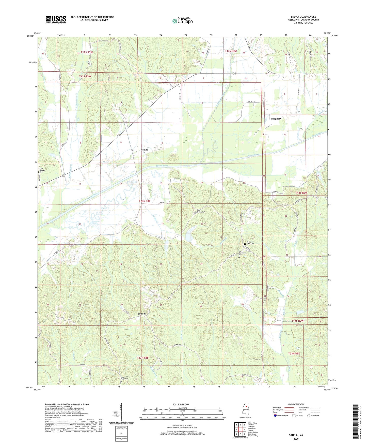
2020 topographic map quadrangle Skuna in the state of Mississippi. Scale: 1:24000. Based on the newly updated USGS 7.5' US Topo map series, this map is in the following counties: Calhoun. The map contains contour data, water features, and other items you are used to seeing on USGS maps, but also has updated roads and other features. This is the next generation of topographic maps. Printed on high-quality waterproof paper with UV fade-resistant inks.
Quads adjacent to this one:
West: Benwood
Northwest: Pine Valley
North: Banner
Northeast: Sarepta
East: Bruce
Southeast: Calhoun City
South: Big Creek
Southwest: Gore Springs
Contains the following named places: Bounds, Burkes Creek, Calhoun County State Wildlife Management Area, Clear Springs Cemetery, Clear Springs Church, Cotton Valley, Davis Lake Dam, Dog Creek, East Hurricane Creek, Foster Creek, Jennings Lake Dam, Mount Tabor Cemetery, Mount Tabor Church, Old Tabernacle Cemetery, Partee, Persimmon Creek, Pine Ridge Cemetery, Pine Ridge Church, Pittman, Pleasant Grove Church, Rocky Branch, Shepherd, Skuna, Supervisor District 1, Tabernacle Church, Turkey Creek Structure Y-20-60 Dam, Turkey Creek Structure Y-23-7 Dam, Weyerhaeuser Lumber Company Lake Dam, Yoda Creek, Zion Springs Cemetery, Zion Springs Church