MyTopo
Bynumville Missouri US Topo Map
Couldn't load pickup availability
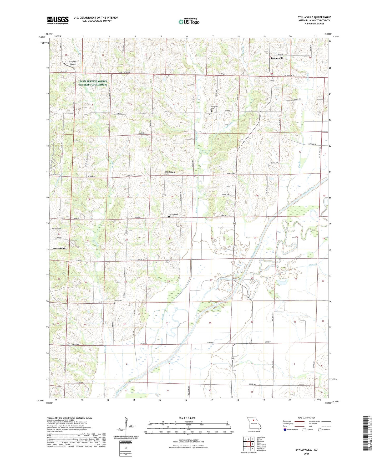
2021 topographic map quadrangle Bynumville in the state of Missouri. Scale: 1:24000. Based on the newly updated USGS 7.5' US Topo map series, this map is in the following counties: Chariton. The map contains contour data, water features, and other items you are used to seeing on USGS maps, but also has updated roads and other features. This is the next generation of topographic maps. Printed on high-quality waterproof paper with UV fade-resistant inks.
Quads adjacent to this one:
West: Mike
Northwest: Marceline
North: Wien
Northeast: Lagonda
East: Prairie Hill
Southeast: Clifton Hill
South: Salisbury
Southwest: Keytesville
Contains the following named places: Bee Branch, Beulah Church, Brewer School, Bynumville, Bynumville Fire Department Station 1, Cooper School, East Bee Branch, Echo, Elm Branch, Fairview Cemetery, Fitzgerald Cemetery, Grove Branch, Hamden, Kelly Church, McCurry School, Mount Zion Church, Parks Cemetery, Parks School, Pee Dee Cemetery, Pee Dee School, Pleyer School, Slaughter Airport, Township of Cockrell, Township of Wayland, Walker School, West Bee Branch