MyTopo
Clifton Hill Missouri US Topo Map
Couldn't load pickup availability
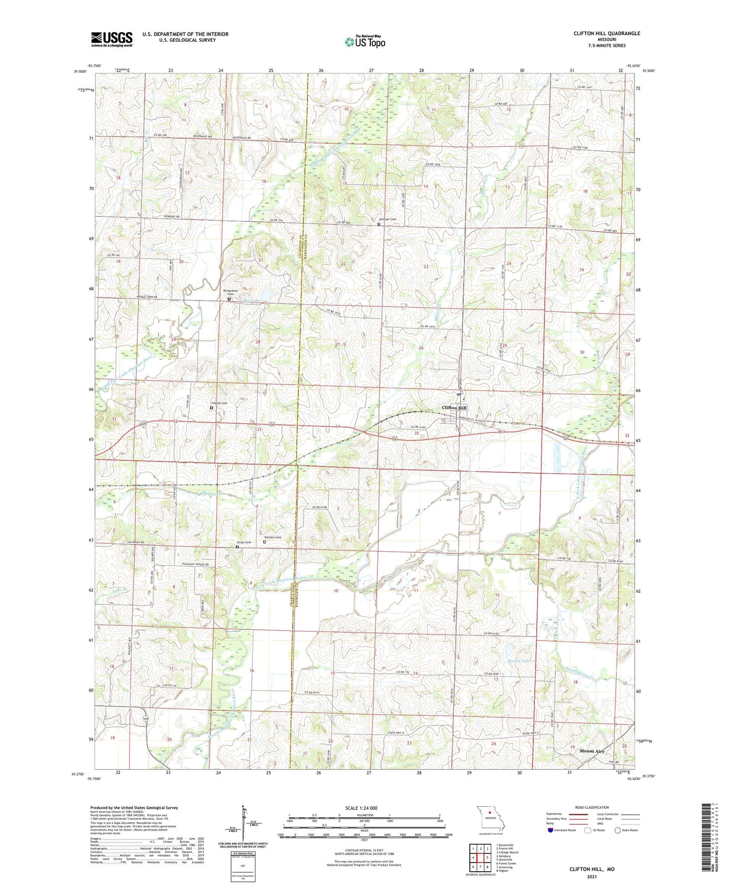
2021 topographic map quadrangle Clifton Hill in the state of Missouri. Scale: 1:24000. Based on the newly updated USGS 7.5' US Topo map series, this map is in the following counties: Randolph, Chariton. The map contains contour data, water features, and other items you are used to seeing on USGS maps, but also has updated roads and other features. This is the next generation of topographic maps. Printed on high-quality waterproof paper with UV fade-resistant inks.
Quads adjacent to this one:
West: Salisbury
Northwest: Bynumville
North: Prairie Hill
Northeast: College Mound
East: Huntsville
Southeast: Higbee
South: Armstrong
Southwest: Forest Green
Contains the following named places: Big Lake, Brown Lake, Brown Lake Dam, City of Clifton Hill, Clifton Hill, Clifton Hill Post Office, Dan Shepherd Dam, Dark Creek, Finnell Cemetery, Gross Cemetery, J P Ryals Lake, J P Ryals Lake Dam, Johnson Cemetery, Kitchen Cemetery, KRES-FM (Moberly), Lee School, Mount Airy, Pleasant Wood Church, Quinn and Fitzgerald Lake, Quinn and Fitzgerald Lake Dam, Richardson Cemetery, Silver Creek, Smith School, Sweet Spring Creek, Township of Clifton, Vaughn School, Washington School, Westran Middle School, ZIP Code: 65244