MyTopo
Huntsville Missouri US Topo Map
Couldn't load pickup availability
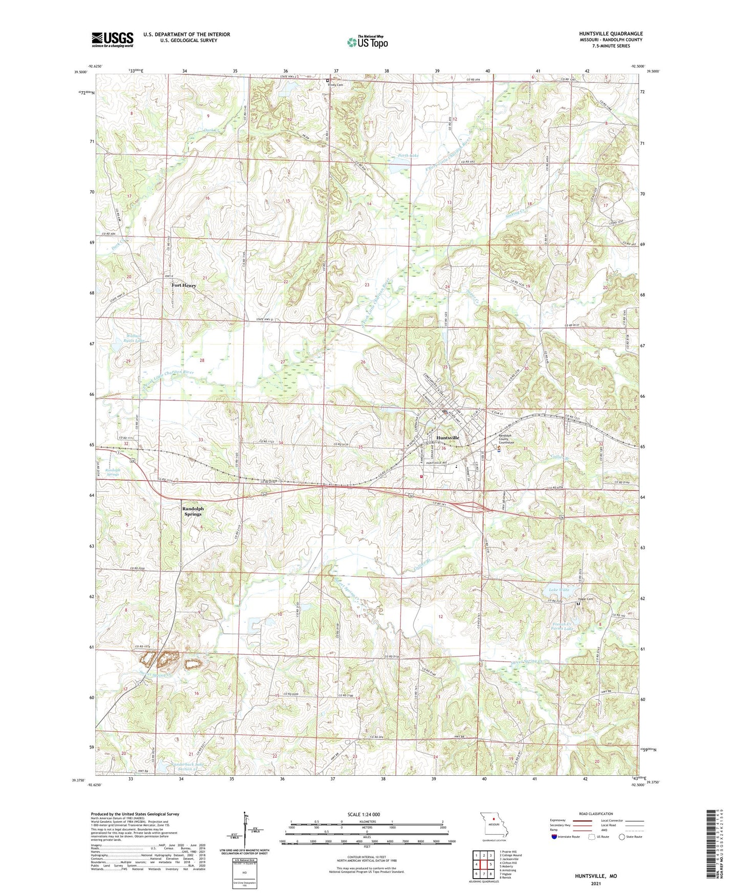
2021 topographic map quadrangle Huntsville in the state of Missouri. Scale: 1:24000. Based on the newly updated USGS 7.5' US Topo map series, this map is in the following counties: Randolph. The map contains contour data, water features, and other items you are used to seeing on USGS maps, but also has updated roads and other features. This is the next generation of topographic maps. Printed on high-quality waterproof paper with UV fade-resistant inks.
Quads adjacent to this one:
West: Clifton Hill
Northwest: Prairie Hill
North: College Mound
Northeast: Jacksonville
East: Moberly
Southeast: Renick
South: Higbee
Southwest: Armstrong
This map covers the same area as the classic USGS quad with code o39092d5.
Contains the following named places: Benton School, City of Huntsville, Collier Branch, Fort Henry, Fort Henry School, French Creek Farms Lake, French Creek Farms Lake Dam, Gill School, Hagar Cemetery, Hagar School, Hannah Mine, Huntsville, Huntsville Fire Department, Huntsville Police Department, Huntsville Post Office, Kelley Lake Dam, Lake Wata, Lake Wata Dam, Lincoln School, Midway Church, Millers Lake, Millers Lake Dam, Mount Hope School, Mount Olive Church, Mount Salem Church, New Hope Church, Oliver School, Porth Lake, Providence Church, Randolph County Jail, Randolph County Sheriff's Office, Randolph Springs, Sinking Creek, Sugar Creek, Sweet Springs Church, Tank Pond, Township of Salt Springs, Trinity Cemetery, Trinity School, Union Baptist Church, Vanderback Lake Section 21, Vanderback Lake Section 21 Dam, Wallace Ryals Lake, Wallace Ryals Lake Dam, West Randolph Rural Fire Protection Association, Westran Elementary School, Westran High School, Wright School, ZIP Code: 65259