MyTopo
Beebe Montana US Topo Map
Couldn't load pickup availability
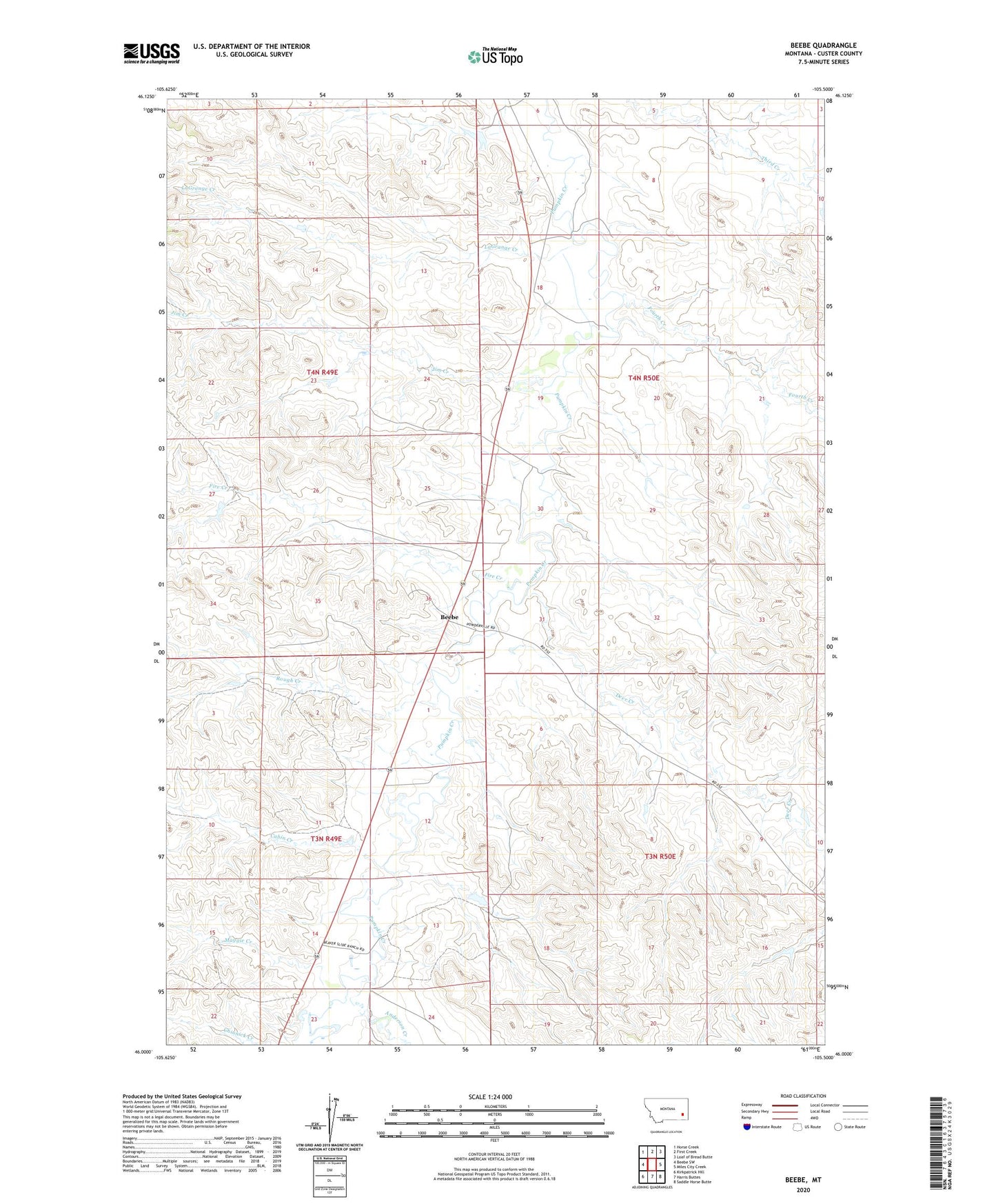
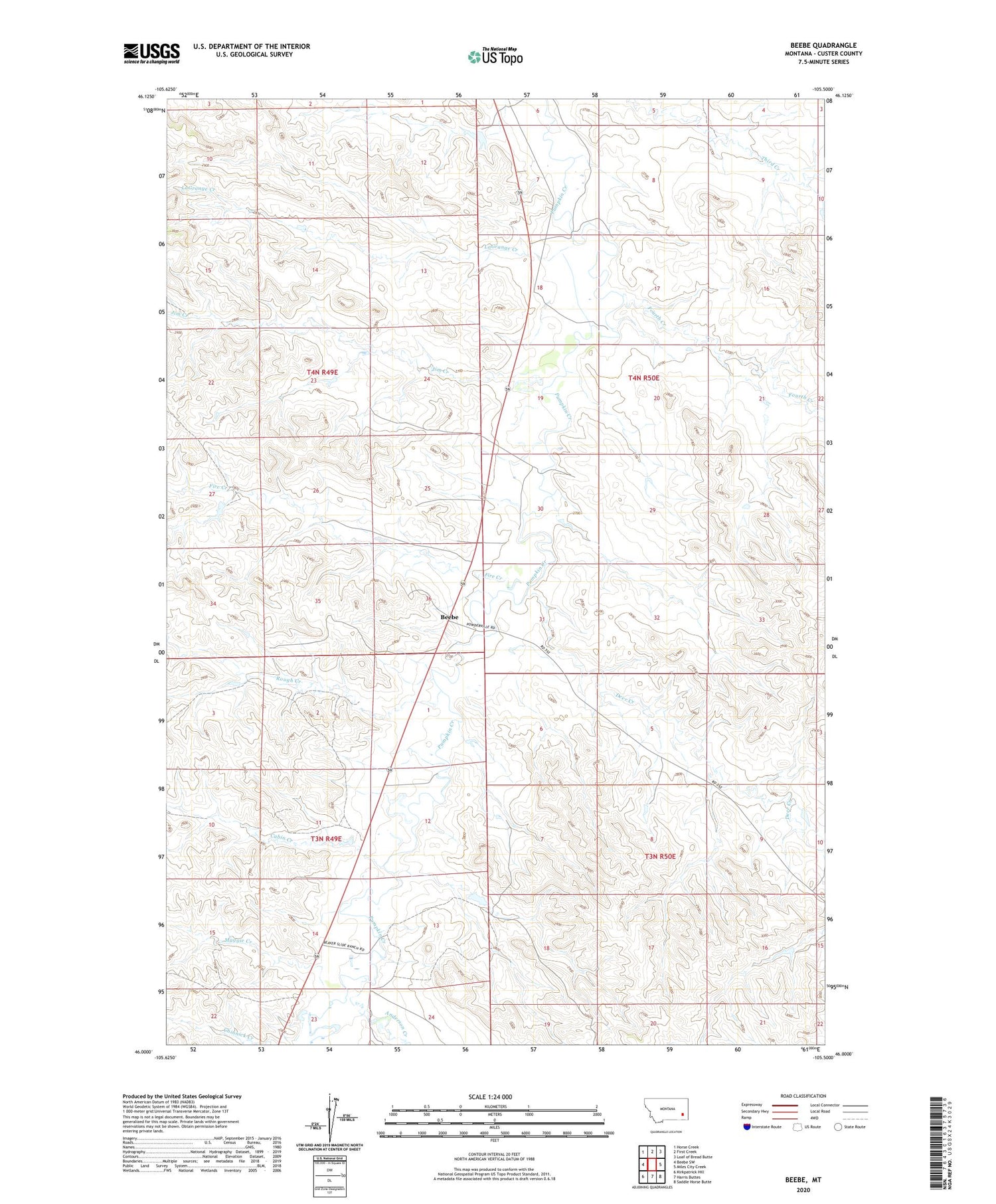
2020 topographic map quadrangle Beebe in the state of Montana. Scale: 1:24000. Based on the newly updated USGS 7.5' US Topo map series, this map is in the following counties: Custer. The map contains contour data, water features, and other items you are used to seeing on USGS maps, but also has updated roads and other features. This is the next generation of topographic maps. Printed on high-quality waterproof paper with UV fade-resistant inks.
Quads adjacent to this one:
West: Beebe SW
Northwest: Horse Creek
North: First Creek
Northeast: Loaf of Bread Butte
East: Miles City Creek
Southeast: Saddle Horse Butte
South: Harris Buttes
Southwest: Kirkpatrick Hill
Contains the following named places: 04N49E24DCDA01 Well, 04N50E18DACA01 Well, 04N50E19DBCD01 Well, 04N50E30BADB01 Well, 04N50E30CCBB01 Well, 04N50E31CCAA01 Well, Anderson Creek, Beebe, Beebe Post Office, Cabin Creek, Clarence, Deer Creek, Failing Number 3 Dam, Fire Creek, Fourth Creek, Hanson Number 1 Dam, Jim Creek, LaGrange Creek, Maggie Creek, Rough Creek, Tonn Number 3 Dam