MyTopo
Miles City Creek Montana US Topo Map
Couldn't load pickup availability
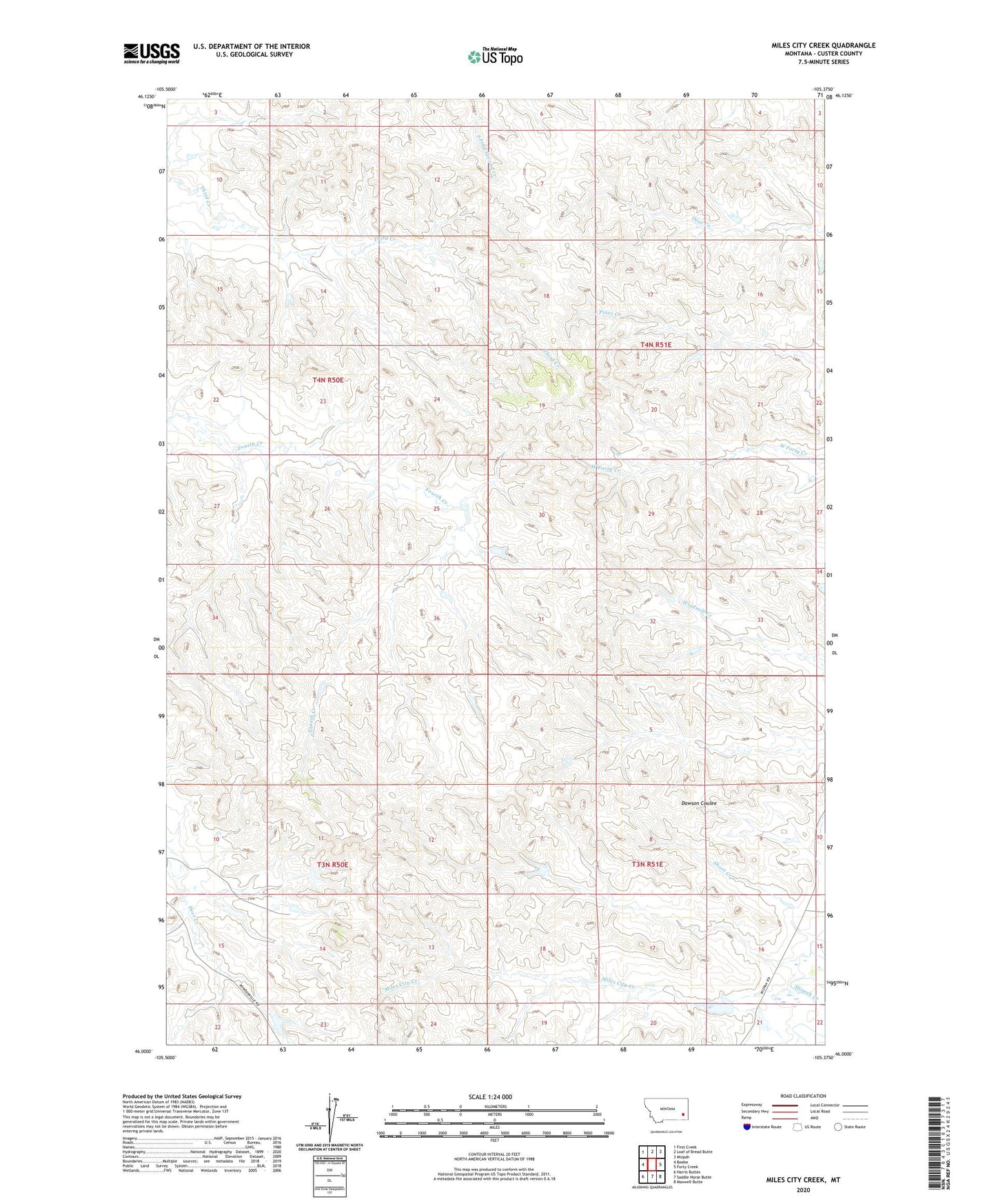
2024 topographic map quadrangle Miles City Creek in the state of Montana. Scale: 1:24000. Based on the newly updated USGS 7.5' US Topo map series, this map is in the following counties: Custer. The map contains contour data, water features, and other items you are used to seeing on USGS maps, but also has updated roads and other features. This is the next generation of topographic maps. Printed on high-quality waterproof paper with UV fade-resistant inks.
Quads adjacent to this one:
West: Beebe
Northwest: First Creek
North: Loaf of Bread Butte
Northeast: Mizpah
East: Forty Creek
Southeast: Maxwell Butte
South: Saddle Horse Butte
Southwest: Harris Buttes
This map covers the same area as the classic USGS quad with code o46105a4.
Contains the following named places: 04N51E21CCCD01 Well, Miles City Creek, Robinson Number 2 Dam, Robinson Number 3 Dam, Short Creek, Tonn Number 4 Dam, Tonn Number 7 Dam