MyTopo
Cohagen SW Montana US Topo Map
Couldn't load pickup availability
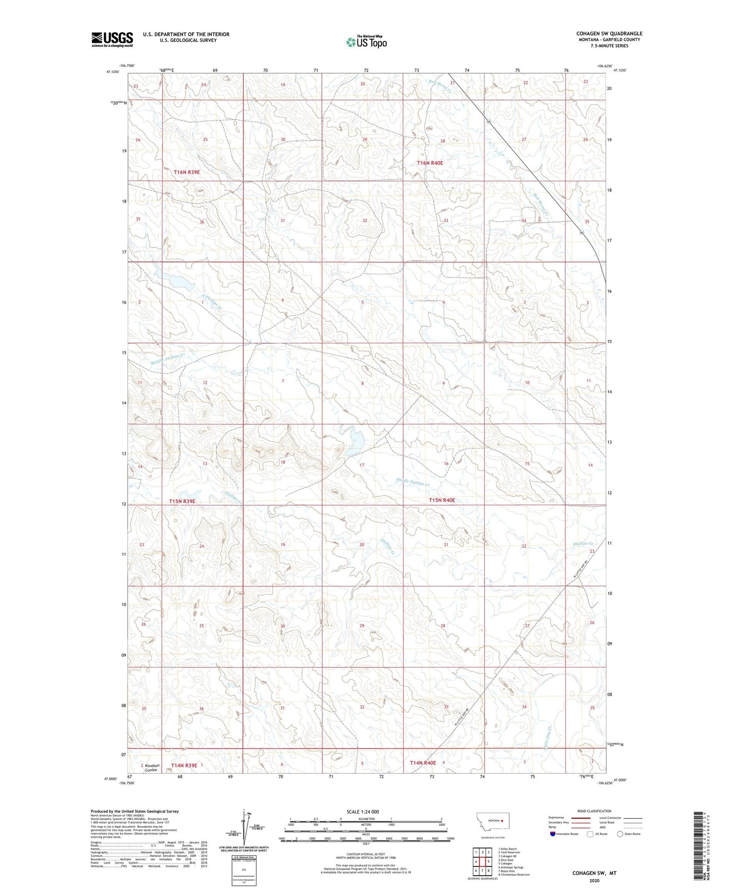
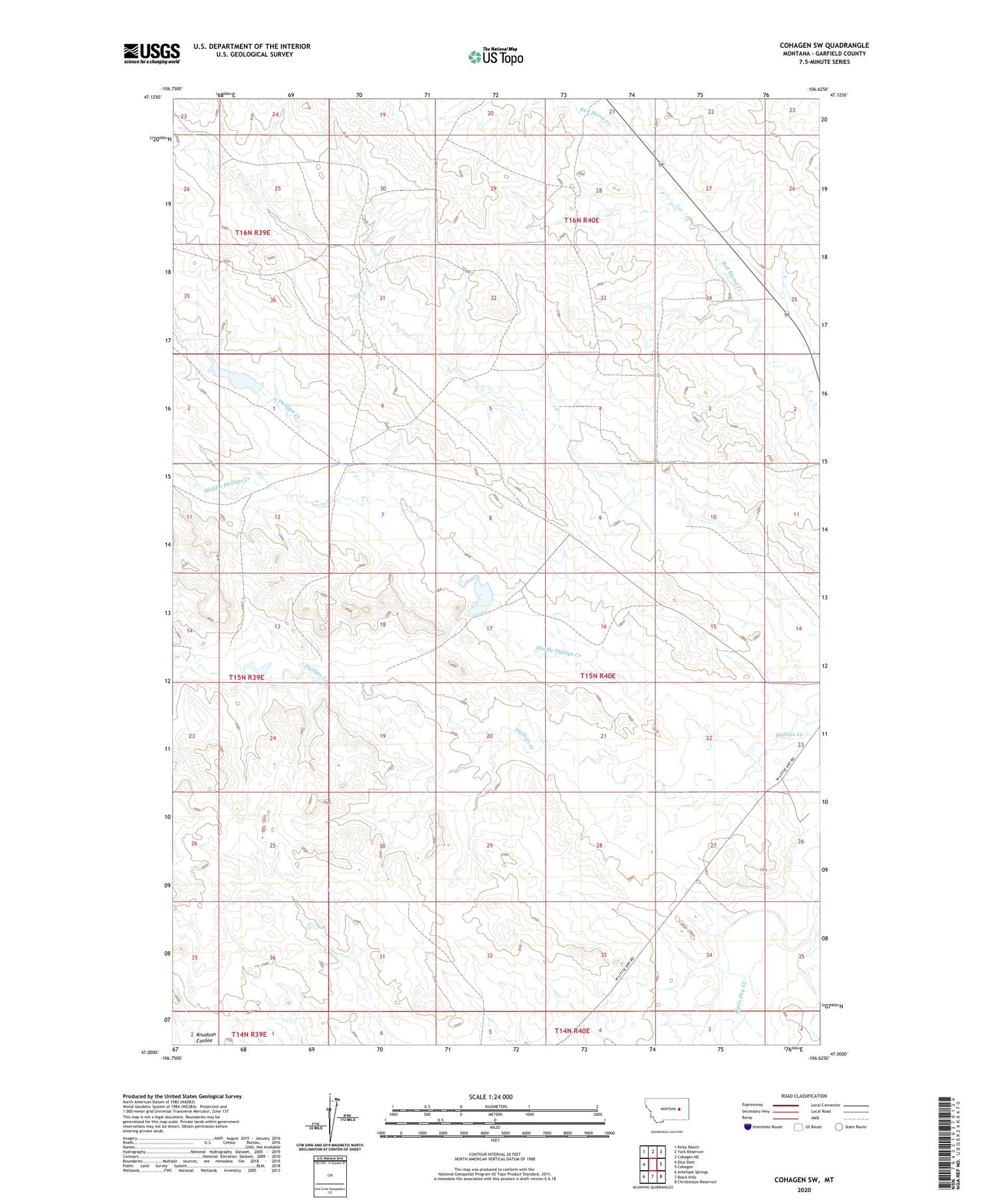
2020 topographic map quadrangle Cohagen SW in the state of Montana. Scale: 1:24000. Based on the newly updated USGS 7.5' US Topo map series, this map is in the following counties: Garfield. The map contains contour data, water features, and other items you are used to seeing on USGS maps, but also has updated roads and other features. This is the next generation of topographic maps. Printed on high-quality waterproof paper with UV fade-resistant inks.
Quads adjacent to this one:
West: Dice Dam
Northwest: Kirby Ranch
North: York Reservoir
Northeast: Cohagen NE
East: Cohagen
Southeast: Christenson Reservoir
South: Black Hills
Southwest: Antelope Springs
Contains the following named places: 15N40E06CCDC01 Well, 59322, Graveyard Creek, Magnesia Dam, Middle Phillips Creek, Mincoff Number 2 Dam, Mincoff Ranch, Mincoff Reservoir Number 1 Dam, North Phillips Creek