MyTopo
Cornwell Reservoir Montana US Topo Map
Couldn't load pickup availability
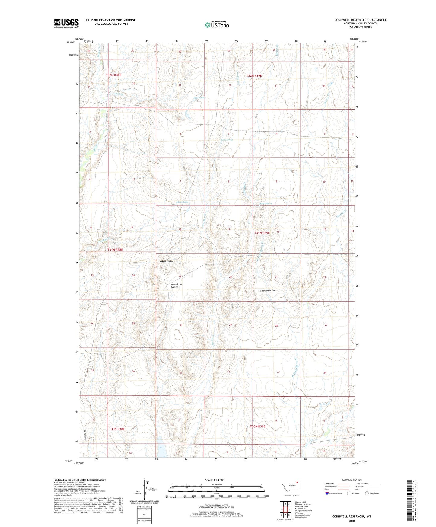
2020 topographic map quadrangle Cornwell Reservoir in the state of Montana. Scale: 1:24000. Based on the newly updated USGS 7.5' US Topo map series, this map is in the following counties: Valley. The map contains contour data, water features, and other items you are used to seeing on USGS maps, but also has updated roads and other features. This is the next generation of topographic maps. Printed on high-quality waterproof paper with UV fade-resistant inks.
Quads adjacent to this one:
West: Tampico NE
Northwest: Laundry Hill
North: Forsman Reservoir
Northeast: Dry Fork Creek
East: Chapman Coulee NE
Southeast: Hawk Coulee
South: Chapman Coulee
Southwest: Tampico
Contains the following named places: Alkali Spring, Beaten Spring, Burke Spring, Cornwell Reservoir, Hunt Spring, Maraschino Dam, West Fork Cherry Creek, Wolf Creek