MyTopo
Tampico NE Montana US Topo Map
Couldn't load pickup availability
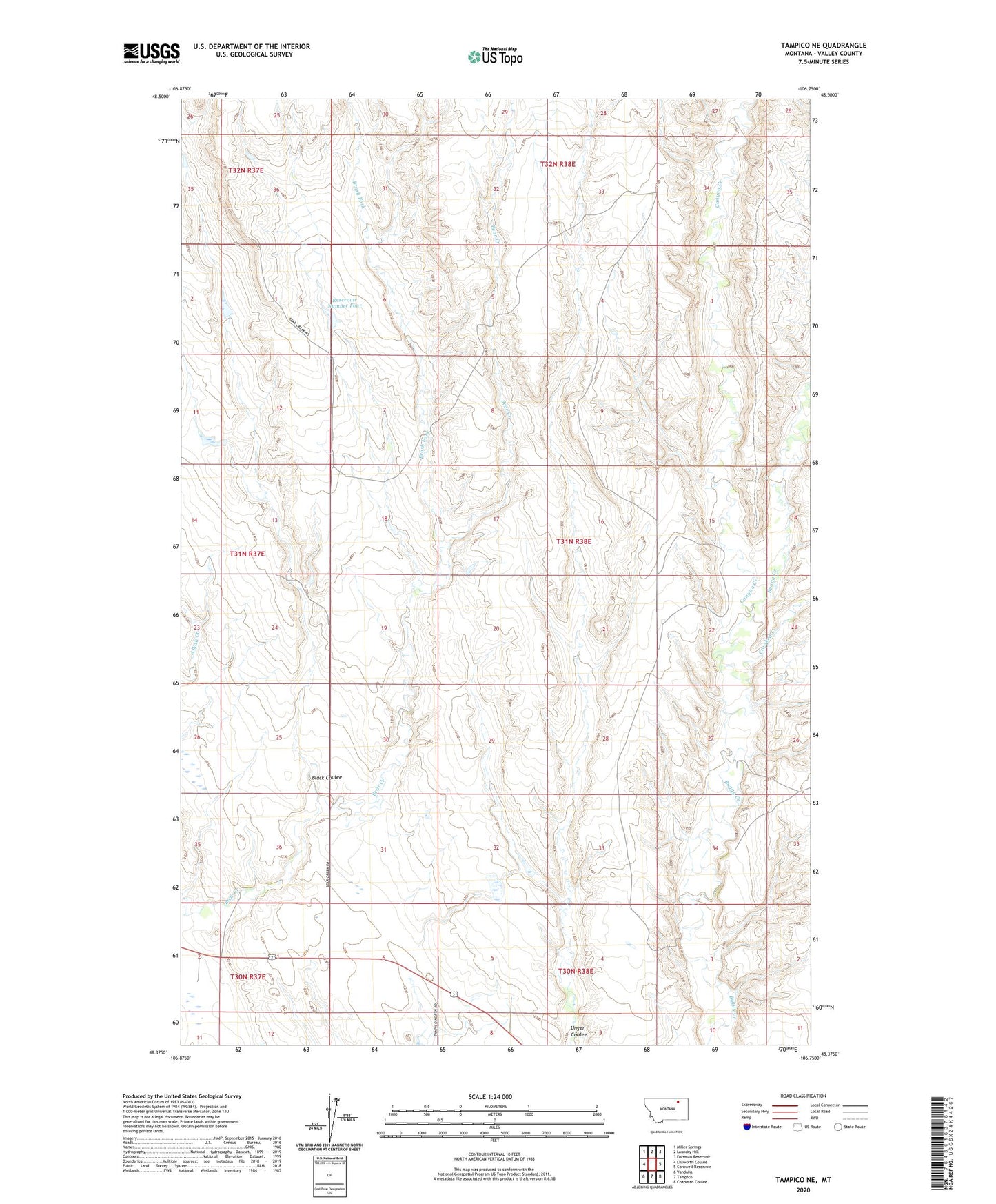
2024 topographic map quadrangle Tampico NE in the state of Montana. Scale: 1:24000. Based on the newly updated USGS 7.5' US Topo map series, this map is in the following counties: Valley. The map contains contour data, water features, and other items you are used to seeing on USGS maps, but also has updated roads and other features. This is the next generation of topographic maps. Printed on high-quality waterproof paper with UV fade-resistant inks.
Quads adjacent to this one:
West: Ellsworth Coulee
Northwest: Miller Springs
North: Laundry Hill
Northeast: Forsman Reservoir
East: Cornwell Reservoir
Southeast: Chapman Coulee
South: Tampico
Southwest: Vandalia
This map covers the same area as the classic USGS quad with code o48106d7.
Contains the following named places: Black Coulee, Brush Fork, Canyon Creek, Crooked Creek, David Horse Camp, Ellsworth Dam, Reservoir Number Four, Richter School, Unger Post Office, Wagner Dam