MyTopo
Day School Montana US Topo Map
Couldn't load pickup availability
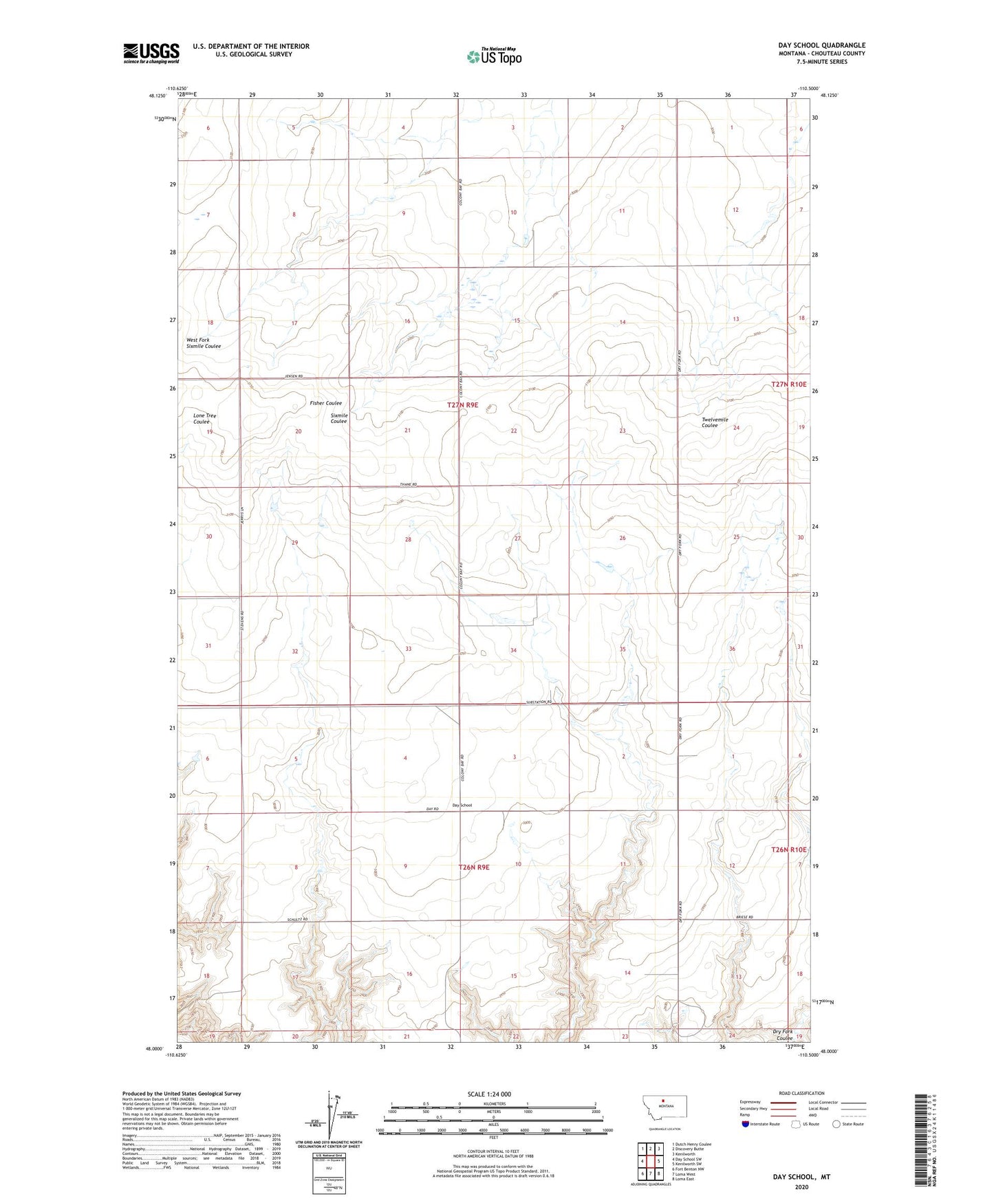
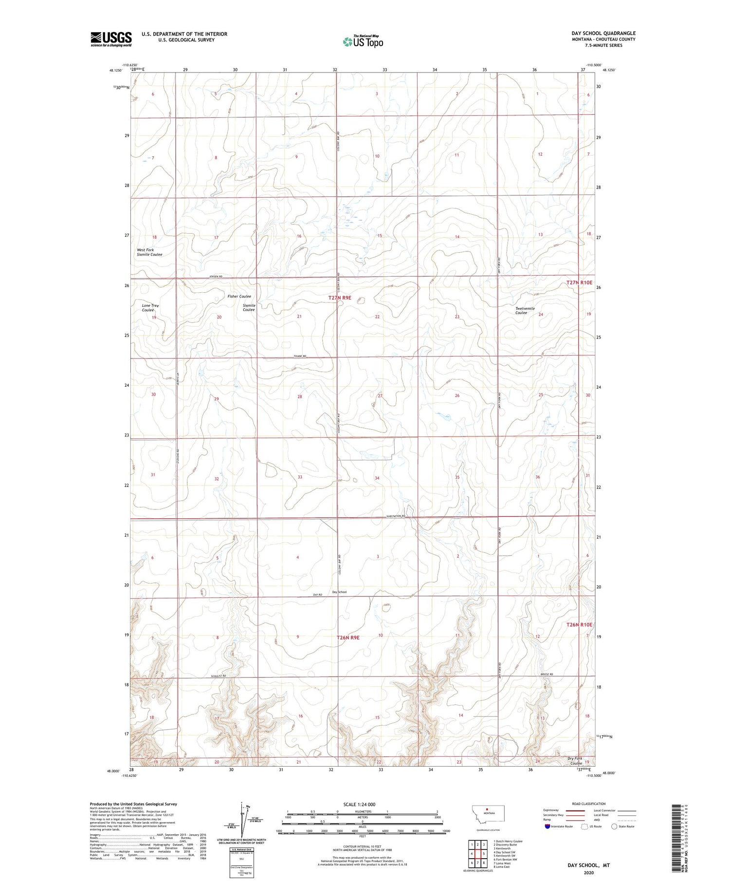
2020 topographic map quadrangle Day School in the state of Montana. Scale: 1:24000. Based on the newly updated USGS 7.5' US Topo map series, this map is in the following counties: Chouteau. The map contains contour data, water features, and other items you are used to seeing on USGS maps, but also has updated roads and other features. This is the next generation of topographic maps. Printed on high-quality waterproof paper with UV fade-resistant inks.
Quads adjacent to this one:
West: Day School SW
Northwest: Dutch Henry Coulee
North: Discovery Butte
Northeast: Kenilworth
East: Kenilworth SW
Southeast: Loma East
South: Loma West
Southwest: Fort Benton NW
Contains the following named places: Colony Bay, Colony Bay Post Office, Day School, Discovery Butte Post Office, Dry Fork, Fisherman George Dam, Nelson Southside School, ZIP Code: 59460