MyTopo
Loma East Montana US Topo Map
Couldn't load pickup availability
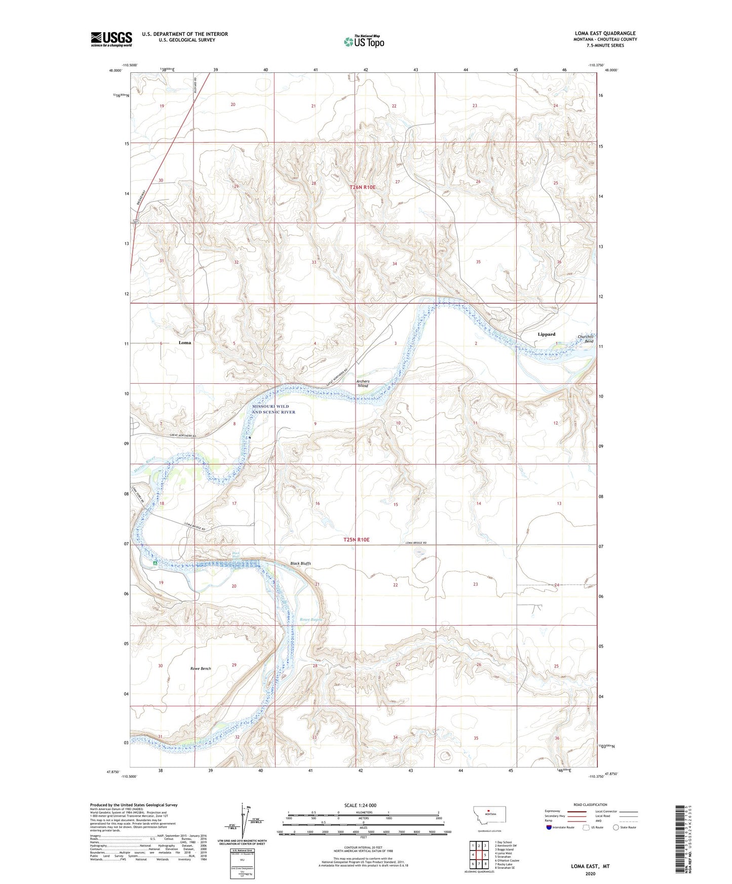
2024 topographic map quadrangle Loma East in the state of Montana. Scale: 1:24000. Based on the newly updated USGS 7.5' US Topo map series, this map is in the following counties: Chouteau. The map contains contour data, water features, and other items you are used to seeing on USGS maps, but also has updated roads and other features. This is the next generation of topographic maps. Printed on high-quality waterproof paper with UV fade-resistant inks.
Quads adjacent to this one:
West: Loma West
Northwest: Day School
North: Kenilworth SW
Northeast: Boggs Island
East: Stranahan
Southeast: Stranahan SE
South: Rocky Lake
This map covers the same area as the classic USGS quad with code o47110h4.
Contains the following named places: Archers Island, Black Bluff Rapids, Black Bluffs, Chappell, Chouteau County, Churchill Bend, Churchill Butte, Crow Coulee Post Office, East Ophir, Fort Piegan, Lippard, Loma Census Designated Place, Loma Ferry, Marias River, Montana Crossroads Historical Marker, North Ophir, Ophir, Rowe Bayou, Rowe Coulee, Triple L Reservoir Dam, West Wayside School