MyTopo
Down Reservoir NE Montana US Topo Map
Couldn't load pickup availability
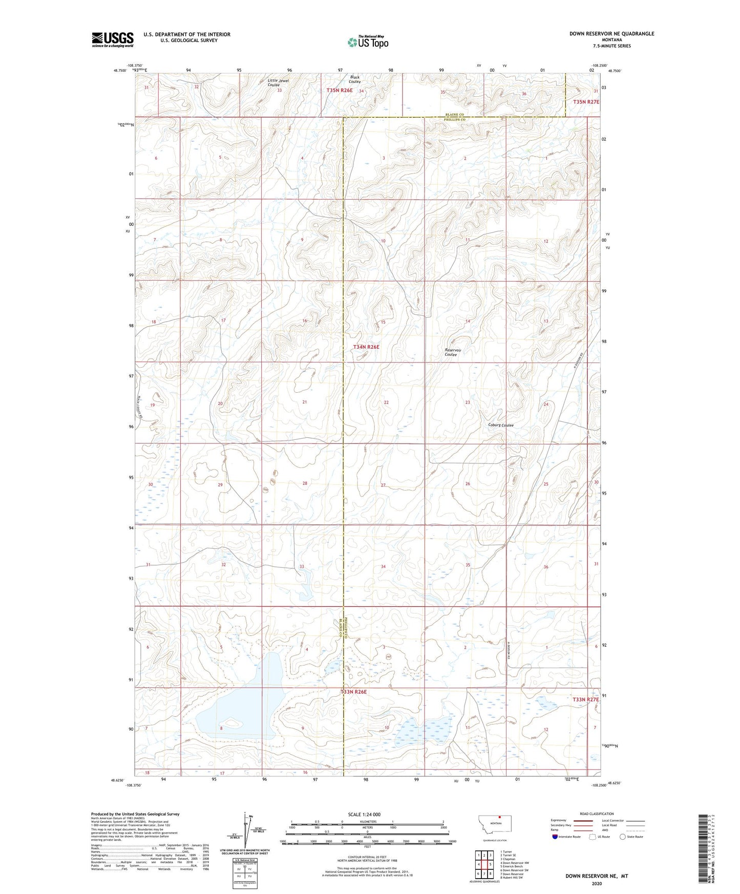
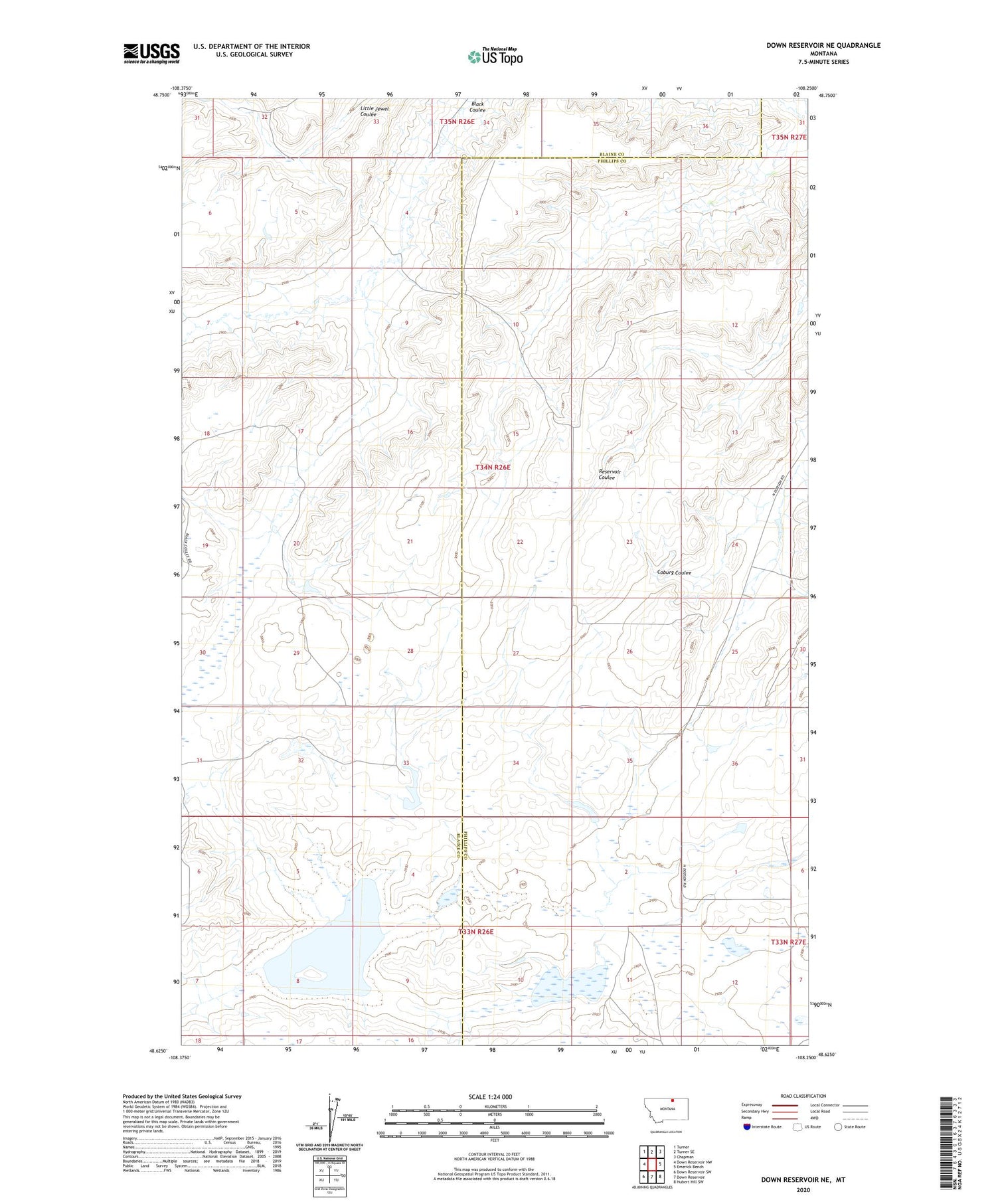
2020 topographic map quadrangle Down Reservoir NE in the state of Montana. Scale: 1:24000. Based on the newly updated USGS 7.5' US Topo map series, this map is in the following counties: Phillips, Blaine. The map contains contour data, water features, and other items you are used to seeing on USGS maps, but also has updated roads and other features. This is the next generation of topographic maps. Printed on high-quality waterproof paper with UV fade-resistant inks.
Quads adjacent to this one:
West: Down Reservoir NW
Northwest: Turner
North: Turner SE
Northeast: Chapman
East: Emerick Bench
Southeast: Hubert Hill SW
South: Down Reservoir
Southwest: Down Reservoir SW
Contains the following named places: 33N26E01AA__01 Well, Berkebile School, Lost Lake, Lost Lake Post Office, Muddy Dam, Nicholson Dam, Rocky Ridge School