MyTopo
Dowse Coulee Montana US Topo Map
Couldn't load pickup availability
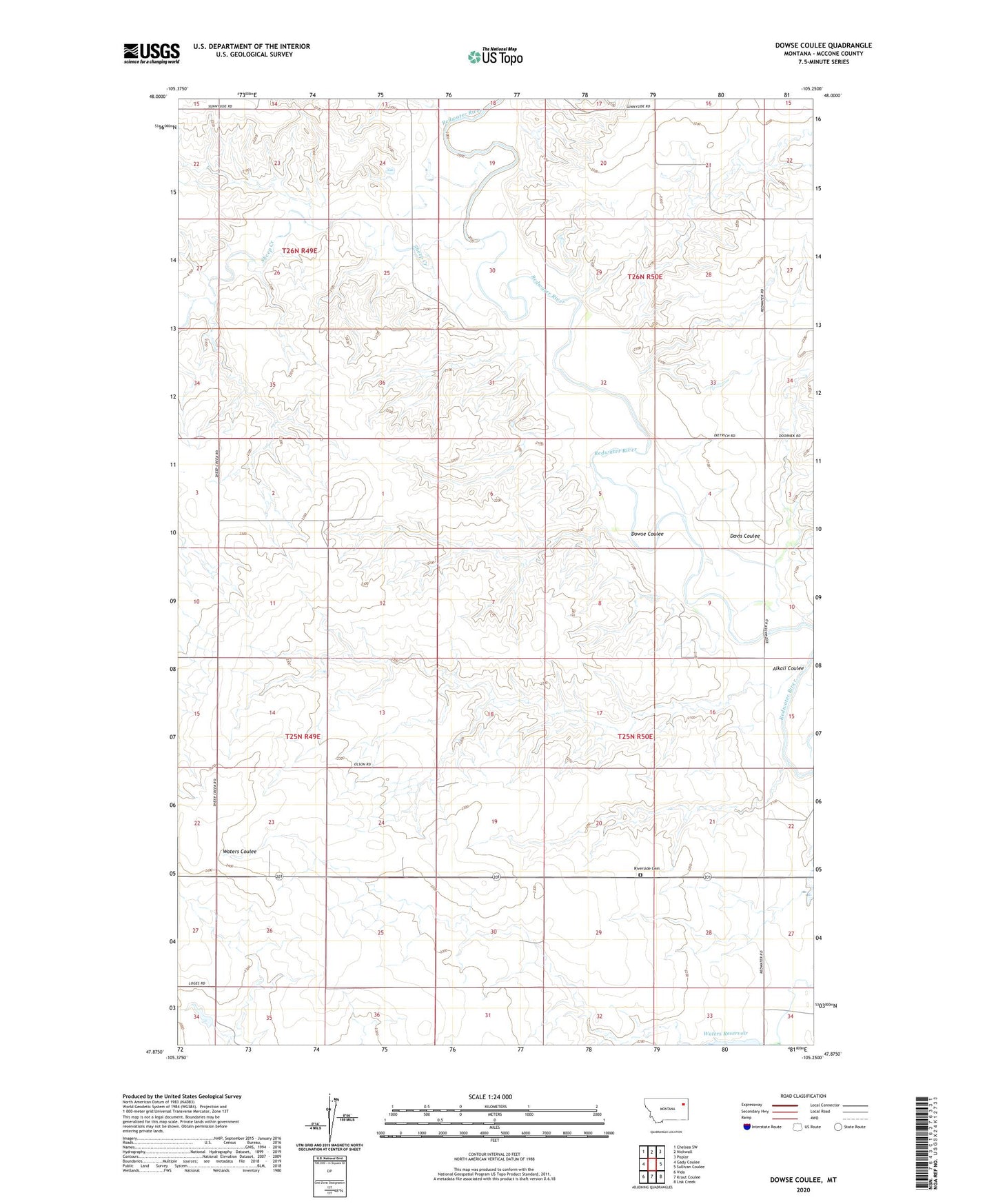
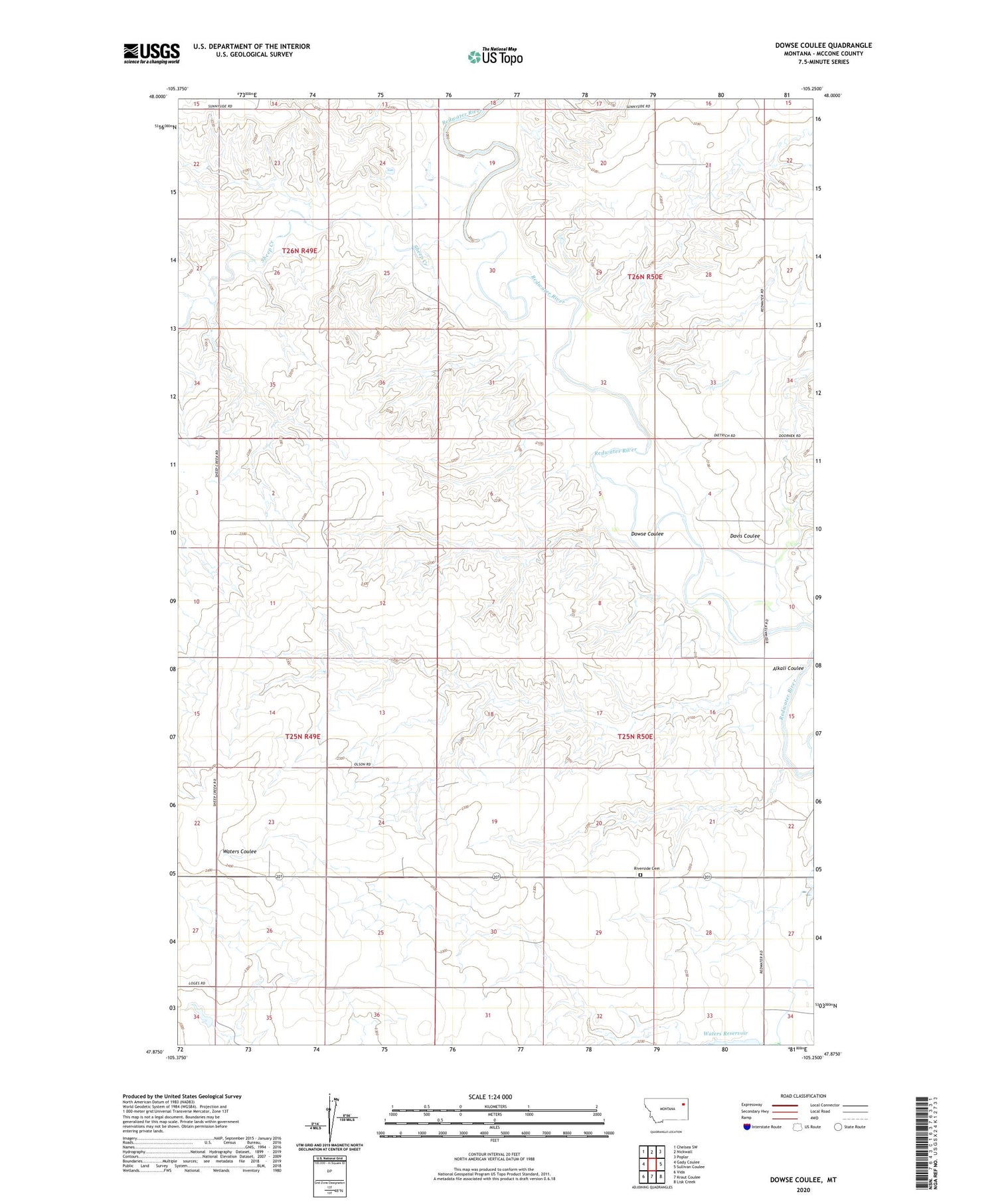
2020 topographic map quadrangle Dowse Coulee in the state of Montana. Scale: 1:24000. Based on the newly updated USGS 7.5' US Topo map series, this map is in the following counties: McCone. The map contains contour data, water features, and other items you are used to seeing on USGS maps, but also has updated roads and other features. This is the next generation of topographic maps. Printed on high-quality waterproof paper with UV fade-resistant inks.
Quads adjacent to this one:
West: Gady Coulee
Northwest: Chelsea SW
North: Nickwall
Northeast: Poplar
East: Sullivan Coulee
Southeast: Lisk Creek
South: Kraut Coulee
Southwest: Vida
Contains the following named places: 25N49E01DBCD01 Well, 25N49E34AA__01 Well, 25N50E09CBAD01 Well, 25N50E21CCCC01 Well, 26N50E33BDAD01 Well, Alkali Coulee, Davis Coulee, Dowse Coulee, Paul Huber Dam, Riverside Cemetery, Robert Johnson Dam, Sacred Heart Mission, Sheep Creek, Waters Dam Number 1