MyTopo
Gady Coulee Montana US Topo Map
Couldn't load pickup availability
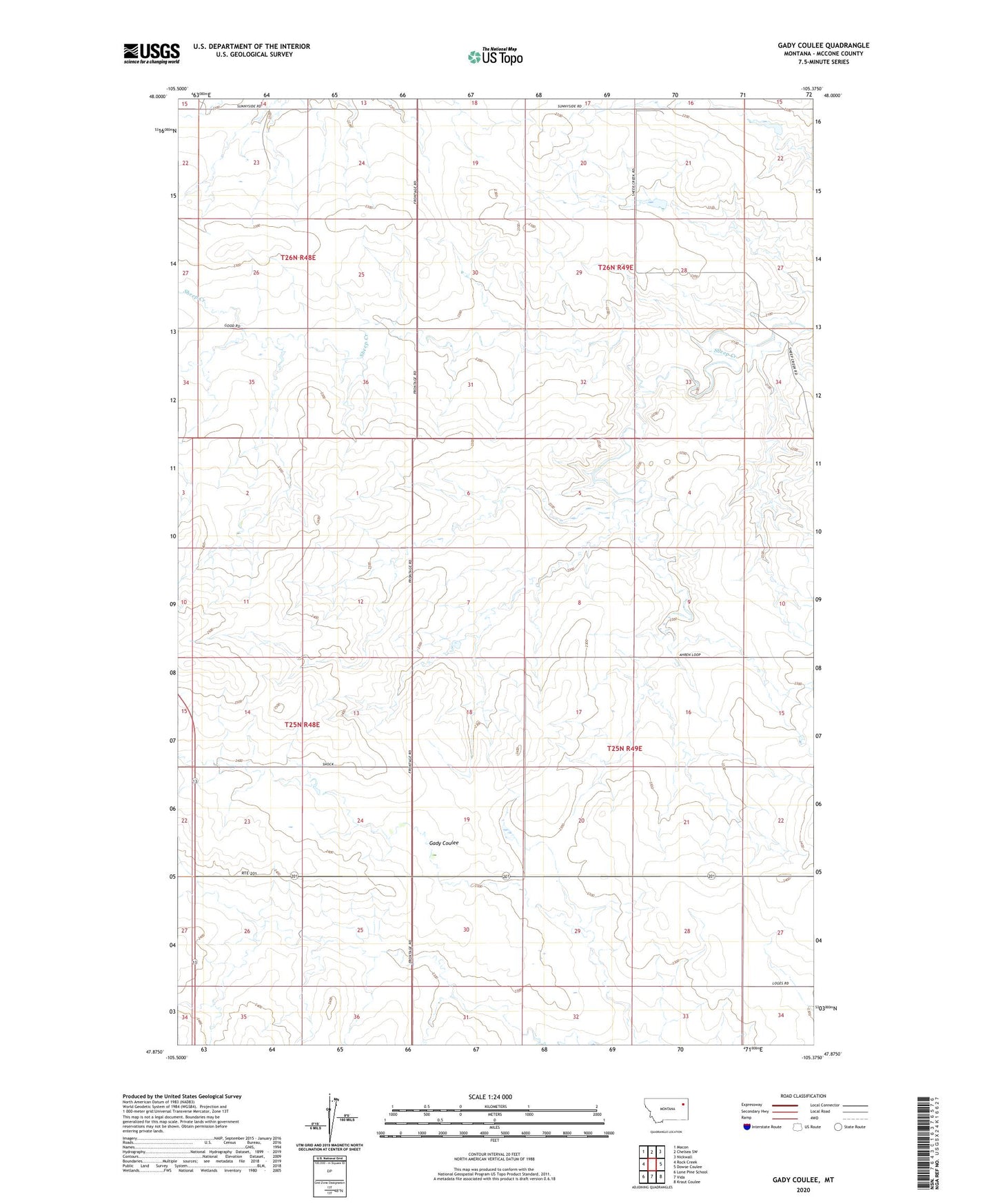
2024 topographic map quadrangle Gady Coulee in the state of Montana. Scale: 1:24000. Based on the newly updated USGS 7.5' US Topo map series, this map is in the following counties: McCone. The map contains contour data, water features, and other items you are used to seeing on USGS maps, but also has updated roads and other features. This is the next generation of topographic maps. Printed on high-quality waterproof paper with UV fade-resistant inks.
Quads adjacent to this one:
West: Rock Creek
Northwest: Macon
North: Chelsea SW
Northeast: Nickwall
East: Dowse Coulee
Southeast: Kraut Coulee
South: Vida
Southwest: Lone Pine School
This map covers the same area as the classic USGS quad with code o47105h4.
Contains the following named places: 25N48E24DAAB01 Well, 25N49E15BA__01 Well, 25N49E15BAAA01 Well, 26N49E30AC__01 Well, Bogut Post Office, Burch Post Office, Good Dam, Good Shepherd Church, Heslo Dam, Kniep Kamp Dam, Southview School, Trinity Lutheran Church