MyTopo
Faris School Montana US Topo Map
Couldn't load pickup availability
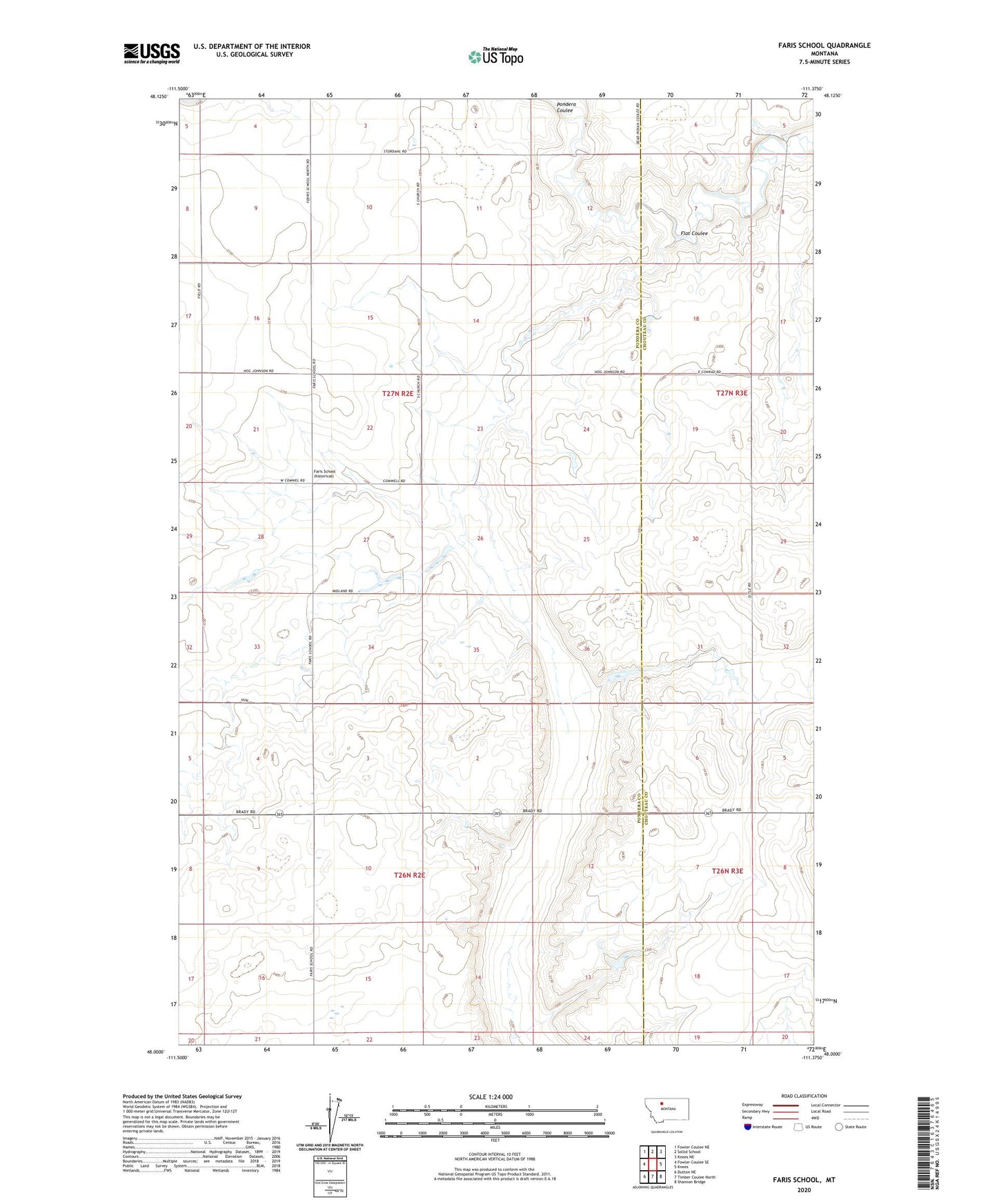
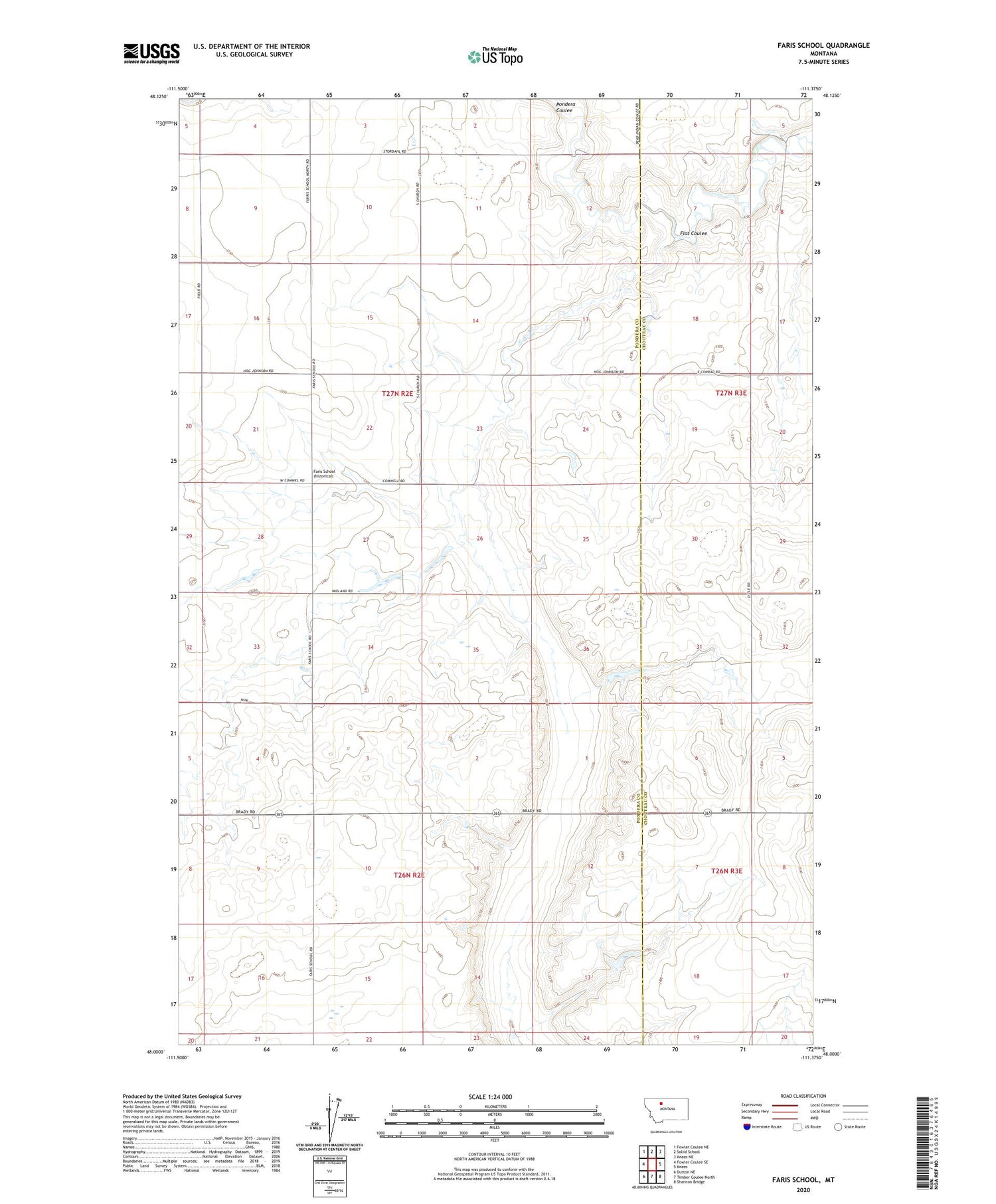
2020 topographic map quadrangle Faris School in the state of Montana. Scale: 1:24000. Based on the newly updated USGS 7.5' US Topo map series, this map is in the following counties: Pondera, Chouteau. The map contains contour data, water features, and other items you are used to seeing on USGS maps, but also has updated roads and other features. This is the next generation of topographic maps. Printed on high-quality waterproof paper with UV fade-resistant inks.
Quads adjacent to this one:
West: Fowler Coulee SE
Northwest: Fowler Coulee NE
North: Sollid School
Northeast: Knees NE
East: Knees
Southeast: Shannon Bridge
South: Timber Coulee North
Southwest: Dutton NE
Contains the following named places: East Community Center, East Community Well, Faris School, Just Barely Dam, McLean and Sons Incorporated Number 1 Dam, Ponderosa Pine Dam, ZIP Code: 59416