MyTopo
Fort Howes Montana US Topo Map
Couldn't load pickup availability
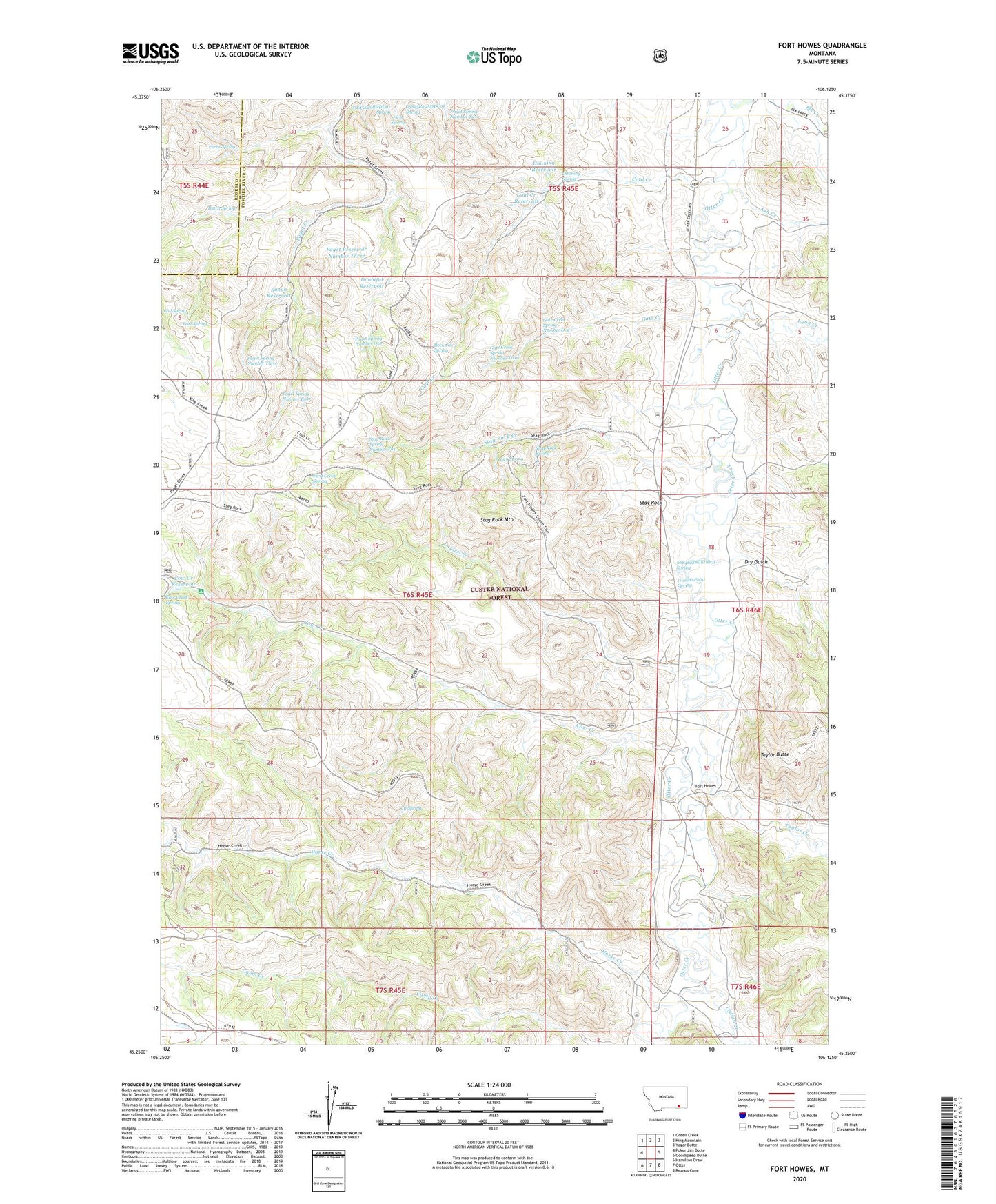
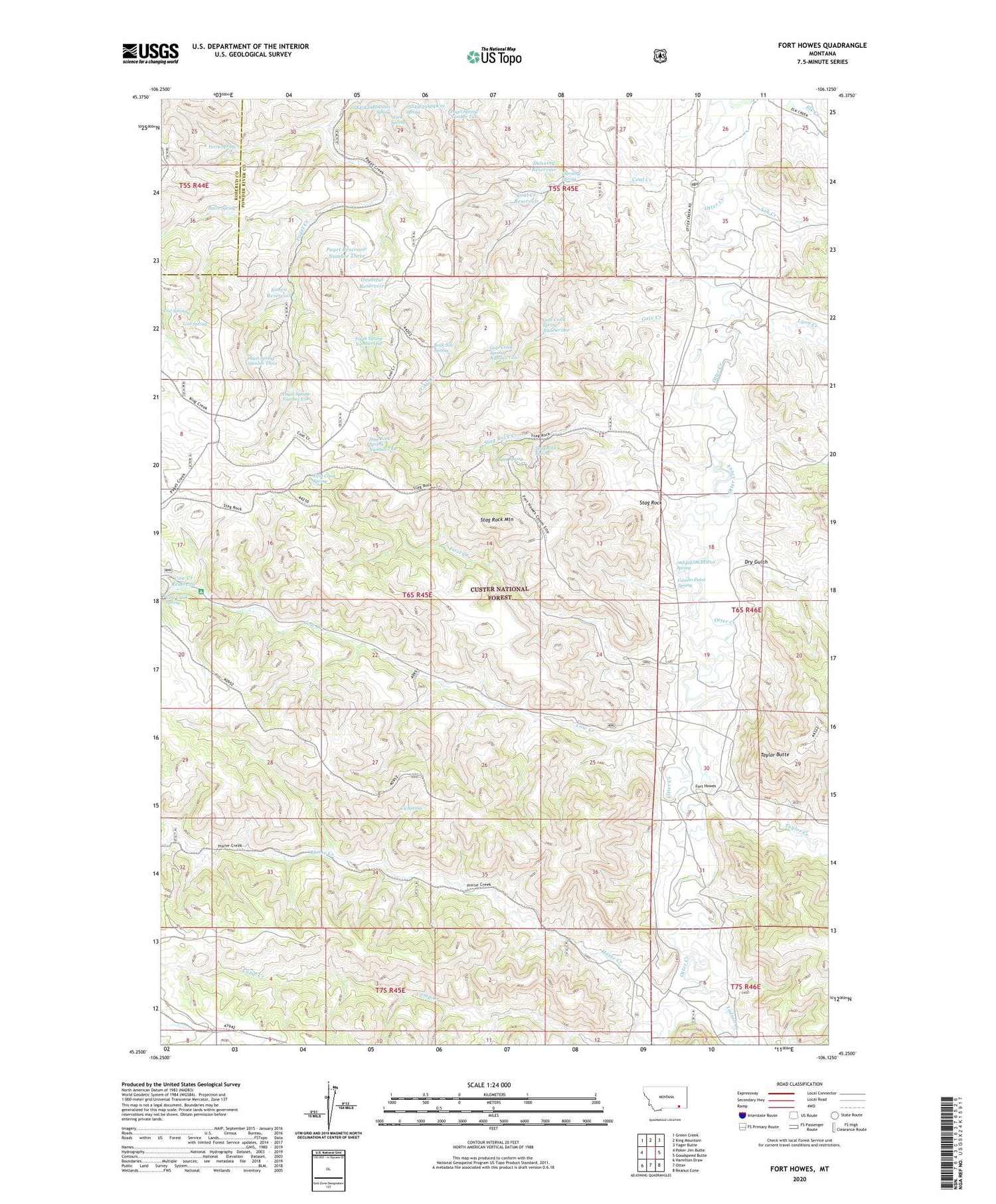
2020 topographic map quadrangle Fort Howes in the state of Montana. Scale: 1:24000. Based on the newly updated USGS 7.5' US Topo map series, this map is in the following counties: Powder River, Rosebud. The map contains contour data, water features, and other items you are used to seeing on USGS maps, but also has updated roads and other features. This is the next generation of topographic maps. Printed on high-quality waterproof paper with UV fade-resistant inks.
Quads adjacent to this one:
West: Poker Jim Butte
Northwest: Green Creek
North: King Mountain
Northeast: Yager Butte
East: Goodspeed Butte
Southeast: Reanus Cone
South: Otter
Southwest: Hamilton Draw
Contains the following named places: 05S45E26DBAC01 Well, 05S45E26DBAD01 Well, 05S45E26DBAD02 Well, 05S45E27BDDB01 Well, 05S45E27DDC_01 Well, 05S45E29ADDC01 Spring, 05S45E29BDDD01 Spring, 05S45E32BABB01 Well, 05S45E35BAAC01 Well, 05S45E35BABA01 Well, 05S45E35BABD01 Well, 05S45E35BCDC01 Well, 06S45E35CADD01 Well, 06S46E17CDAD01 Well, 06S46E18CBDD01 Spring, 07S45E04CCCC01 Well, 07S46E06CACD01 Well, Ash Creek, Butch Spring, Coal Creek, Coal Creek Reservoir, Cow Creek, Cow Creek Campground, Cow Creek Reservoir, Cow Creek Spring, Cub Creek Well, Cy Spring, Doubtful Reservoir, Dry Gulch, Dry Gulch Well, Dunning Reservoir, Dunning Spring, First Creek, First Creek Spring, First Spring, Fort Howes, Fort Howes Ranger Station, Gate Creek, Gate Creek Spring Number One, Gate Creek Spring Number Two, Gumbo Point Spring, Horse Creek, Horse Creek Well, Indian Creek, Lost Spring, Lyon Creek, Lyon Creek Well, Otter Creek School, Paget Reservoir Number Three, Paget Spring Number Four, Paget Spring Number One, Paget Spring Number Three, Paget Spring Number Two, Peggy Spring, Perry Spring, Perry Well, Rock Job Spring, Simon Reservoir, Stag Rock, Stag Rock Creek, Stag Rock Mountain, Stag Rock Spring, Stag Rock Spring Number Two, Stevens Ranch Airport, Taylor Butte, Taylor Creek