MyTopo
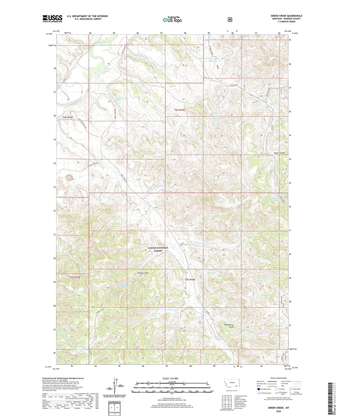
Green Creek Montana US Topo Map
Couldn't load pickup availability
Also explore the Green Creek Forest Service Topo of this same quad for updated USFS data
2024 topographic map quadrangle Green Creek in the state of Montana. Scale: 1:24000. Based on the newly updated USGS 7.5' US Topo map series, this map is in the following counties: Rosebud. The map contains contour data, water features, and other items you are used to seeing on USGS maps, but also has updated roads and other features. This is the next generation of topographic maps. Printed on high-quality waterproof paper with UV fade-resistant inks.
Quads adjacent to this one:
West: Birney Day School
Northwest: Hollowwood Creek
North: Ashland
Northeast: Willow Crossing
East: King Mountain
Southeast: Fort Howes
South: Poker Jim Butte
Southwest: Browns Mountain
This map covers the same area as the classic USGS quad with code o45106d3.
Contains the following named places: 04S44E18____01 Well, 04S44E18ABDC01 Well, 04S44E19ACDC01 Spring, 04S44E22ABDA01 Well, 04S44E23DCAA01 Well, 04S44E28BADA01 Well, 04S44E31BCAB01 Well, 04S44E32DCDD01 Well, 05S41E13CADA01 Well, 05S44E02AAAD01 Spring, 05S44E05CAAD01 Well, 05S44E05CABD01 Well, 05S44E16ABBB01 Well, 05S44E27ADAB01 Well, 08S44E09DBDD01 Well, Black Canyon, Cedar Creek, Dry Creek, Dry Creek Well, East Fork O'Dell Creek, East Fork Reservoir, Frees Creek, Gate Creek Spring, Good Spring, Gooseberry Draw, Green Creek, Green Creek Reservoir, Green Creek Spring, Hay Creek, Hole-in-the-Wall Creek, Kelty Creek, King Creek Reservoir, King Creek Spring, King Creek Well Number One, King Creek Well Number Two, King Mountain Hiking and Riding Area, O'Dell Windmill, Pittman Draw, Pittman Draw Spring, Pittman Reservoir, Poker Teechee Reservoir, Schaudel Reservoir, Section Sixteen Windmill


