MyTopo
Goldstone SW Montana US Topo Map
Couldn't load pickup availability
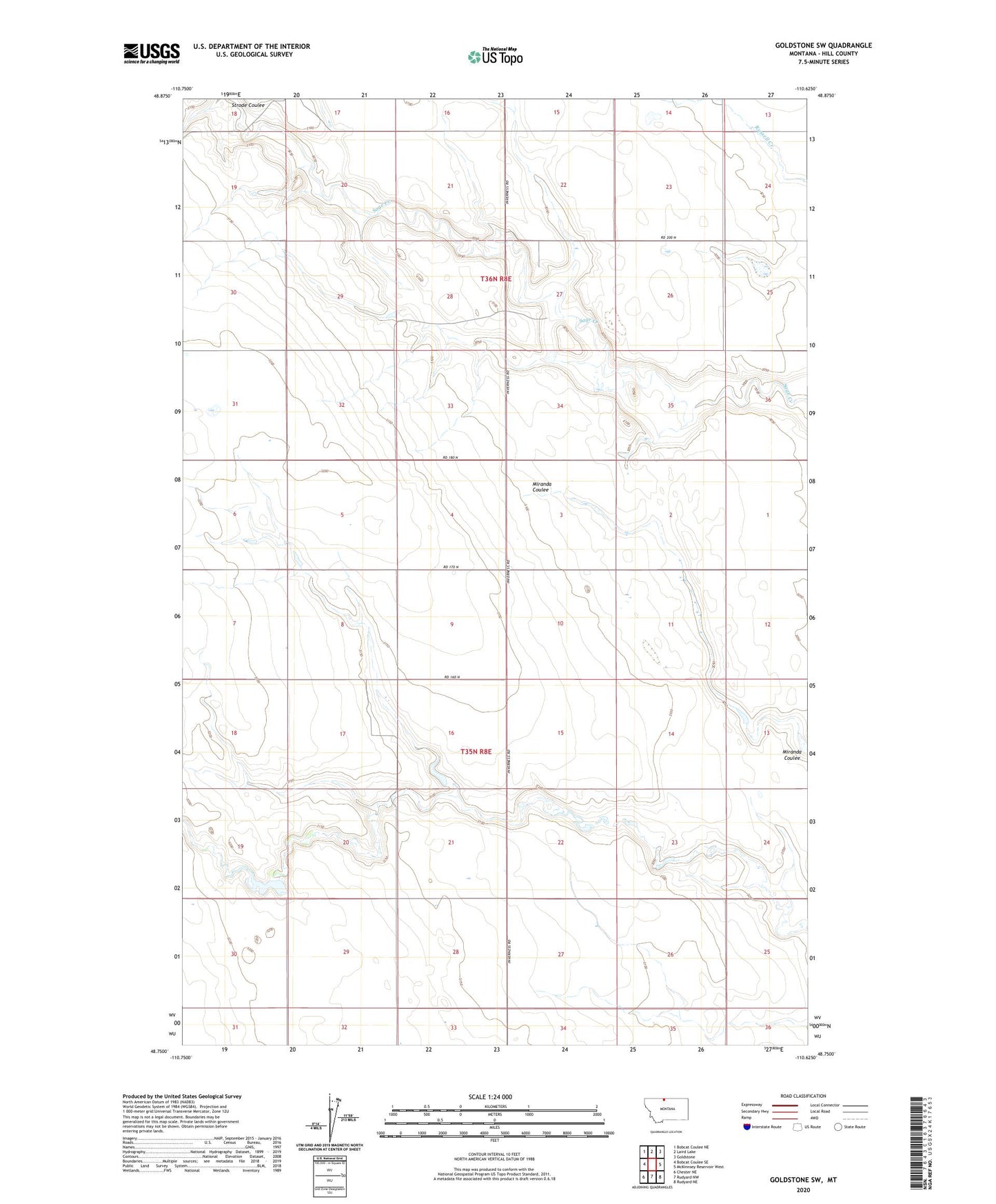
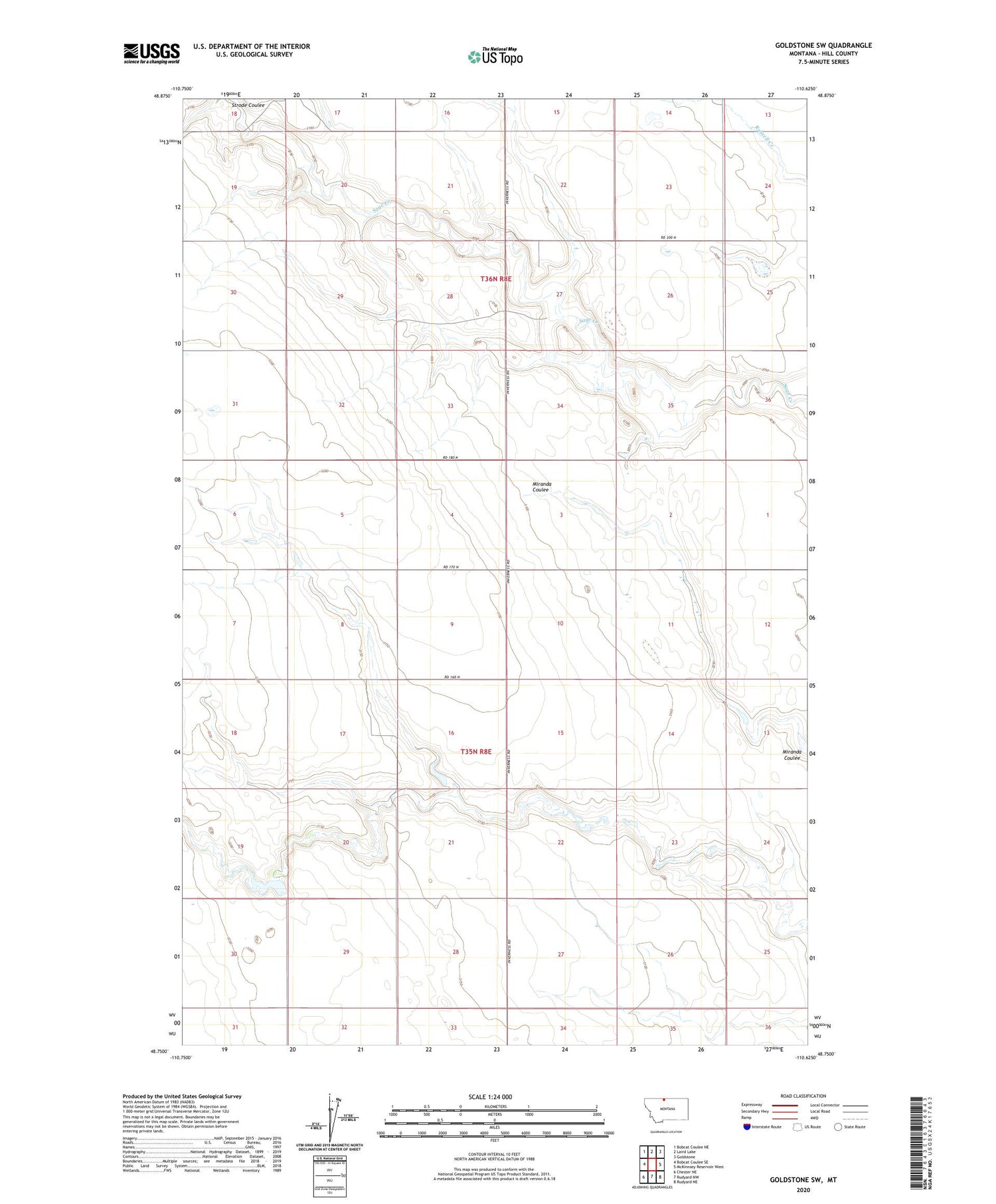
2020 topographic map quadrangle Goldstone SW in the state of Montana. Scale: 1:24000. Based on the newly updated USGS 7.5' US Topo map series, this map is in the following counties: Hill. The map contains contour data, water features, and other items you are used to seeing on USGS maps, but also has updated roads and other features. This is the next generation of topographic maps. Printed on high-quality waterproof paper with UV fade-resistant inks.
Quads adjacent to this one:
West: Bobcat Coulee SE
Northwest: Bobcat Coulee NE
North: Laird Lake
Northeast: Goldstone
East: McKinnsey Reservoir West
Southeast: Rudyard NE
South: Rudyard NW
Southwest: Chester NE
Contains the following named places: 35N08E01ABBB01 Well, 36N08E26BBBC01 Well, Gritty Milk Dam, Ostrich Egg Dam, Sage Post Office, Strode Coulee, Taylor Post Office