MyTopo
Laird Lake Montana US Topo Map
Couldn't load pickup availability
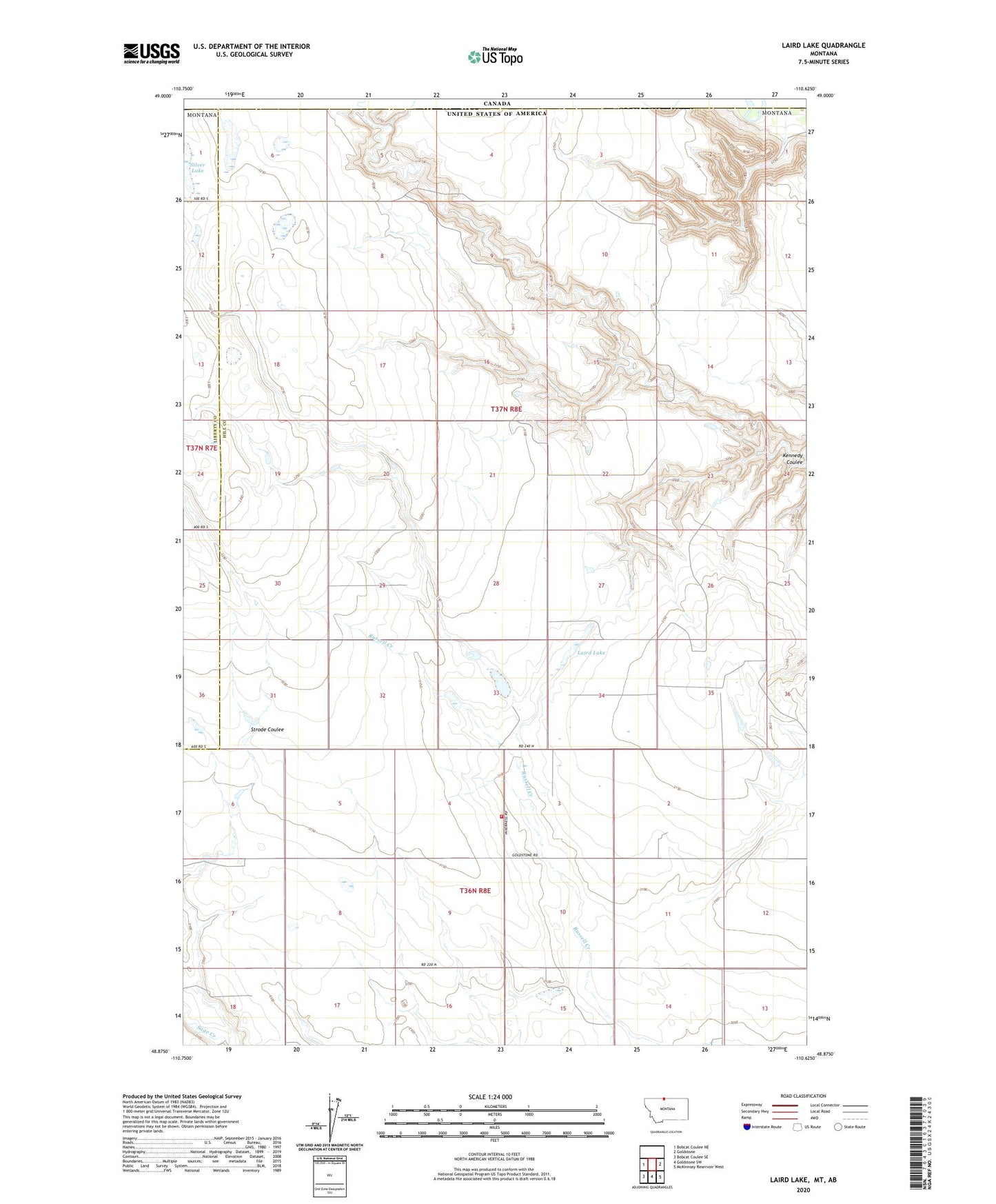
2024 topographic map quadrangle Laird Lake in the state of Montana. Scale: 1:24000. Based on the newly updated USGS 7.5' US Topo map series, this map is in the following counties: Hill, Liberty. The map contains contour data, water features, and other items you are used to seeing on USGS maps, but also has updated roads and other features. This is the next generation of topographic maps. Printed on high-quality waterproof paper with UV fade-resistant inks.
Quads adjacent to this one:
West: Bobcat Coulee NE
East: Goldstone
Southeast: McKinnsey Reservoir West
South: Goldstone SW
Southwest: Bobcat Coulee SE
This map covers the same area as the classic USGS quad with code o48110h6.
Contains the following named places: 37N08E20BCCD01 Well, 37N08E20DDDC01 Well, Fox Crossing, Inverness Volunteer Fire Department Substation, Laird Lake, Mineota School, Minneota, Silver Lake, Sweet Adeline Dam, Wolery Waters Dam