MyTopo
Haystack Mountain Montana US Topo Map
Couldn't load pickup availability
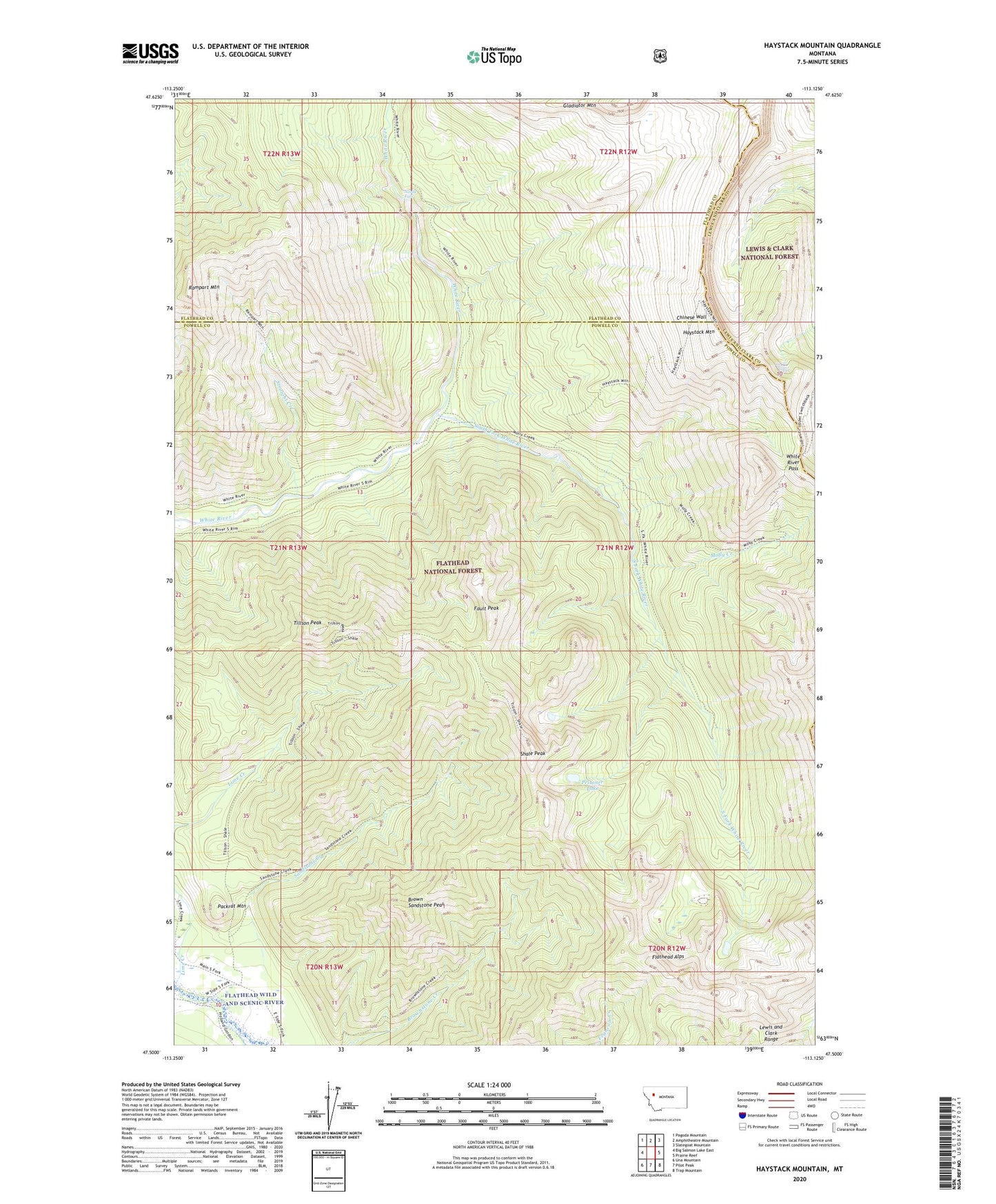
2020 topographic map quadrangle Haystack Mountain in the state of Montana. Scale: 1:24000. Based on the newly updated USGS 7.5' US Topo map series, this map is in the following counties: Powell, Flathead, Lewis and Clark. The map contains contour data, water features, and other items you are used to seeing on USGS maps, but also has updated roads and other features. This is the next generation of topographic maps. Printed on high-quality waterproof paper with UV fade-resistant inks.
Quads adjacent to this one:
West: Big Salmon Lake East
Northwest: Pagoda Mountain
North: Amphitheatre Mountain
Northeast: Slategoat Mountain
East: Prairie Reef
Southeast: Trap Mountain
South: Pilot Peak
Southwest: Una Mountain
Contains the following named places: Big Prairie Work Center, Brown Sandstone Peak, Fault Peak, Flathead Alps, Haystack Mountain, Haystack Mountain Trail, Lewis and Clark Range, Lime Creek, Molly Creek, Needle Falls, Packrat Mountain, Prisoner Lake, Rampart Mountain, Sandstone Creek, Shale Peak, South Fork White River, Straight Creek, Tillson Peak, White River Pass