MyTopo
Kirby Ranch Montana US Topo Map
Couldn't load pickup availability
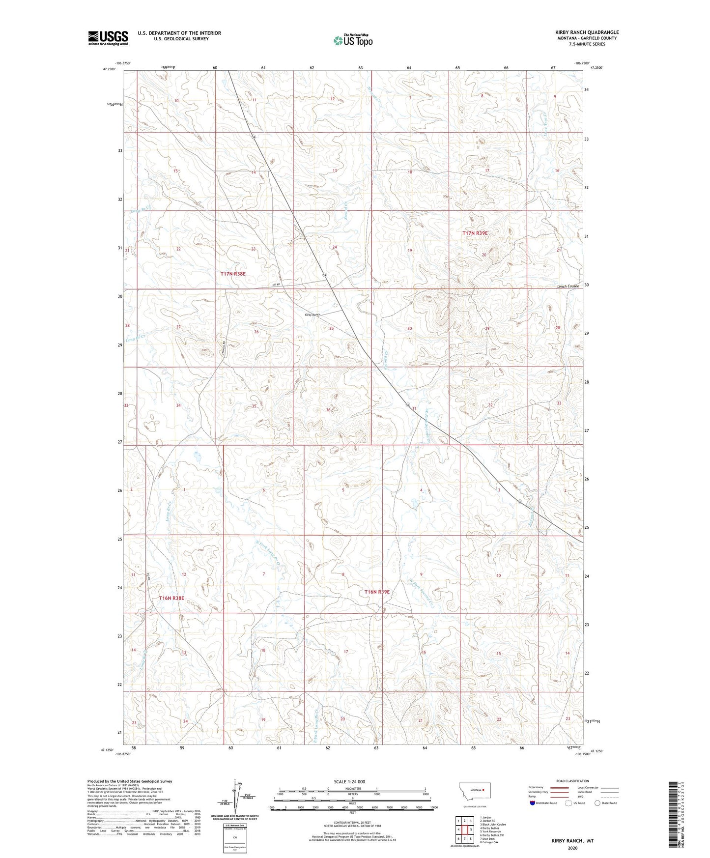
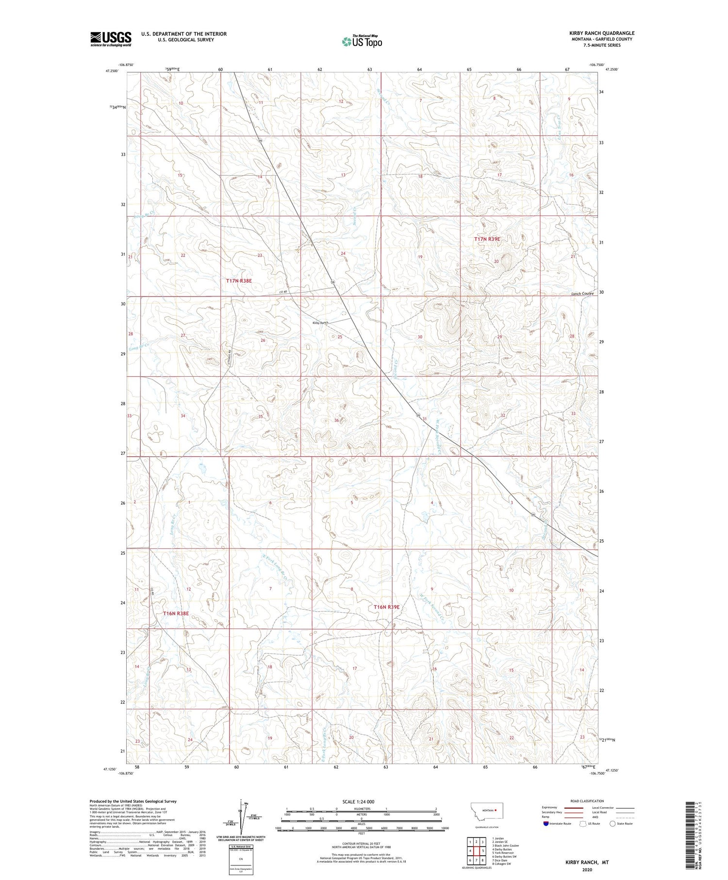
2020 topographic map quadrangle Kirby Ranch in the state of Montana. Scale: 1:24000. Based on the newly updated USGS 7.5' US Topo map series, this map is in the following counties: Garfield. The map contains contour data, water features, and other items you are used to seeing on USGS maps, but also has updated roads and other features. This is the next generation of topographic maps. Printed on high-quality waterproof paper with UV fade-resistant inks.
Quads adjacent to this one:
West: Darby Buttes
Northwest: Jordan
North: Jordan SE
Northeast: Black John Coulee
East: York Reservoir
Southeast: Cohagen SW
South: Dice Dam
Southwest: Darby Buttes SW
Contains the following named places: 16N38E24DBDA01 Well, 16N39E18BDBD01 Well, 17N38E25B___01 Well, 17N38E35BDAD01 Well, 17N39E18B___01 Well, Claribell Number 2 Dam, East Fork Long Branch Creek, Kirby Ranch, Lynch Coulee, Uthaug Livestock Dam, West Fork Second Creek