MyTopo
Kirkpatrick Hill Montana US Topo Map
Couldn't load pickup availability
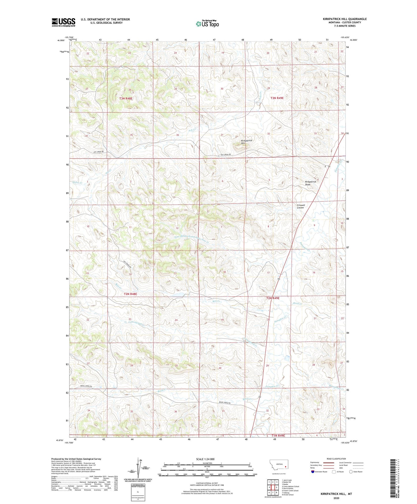
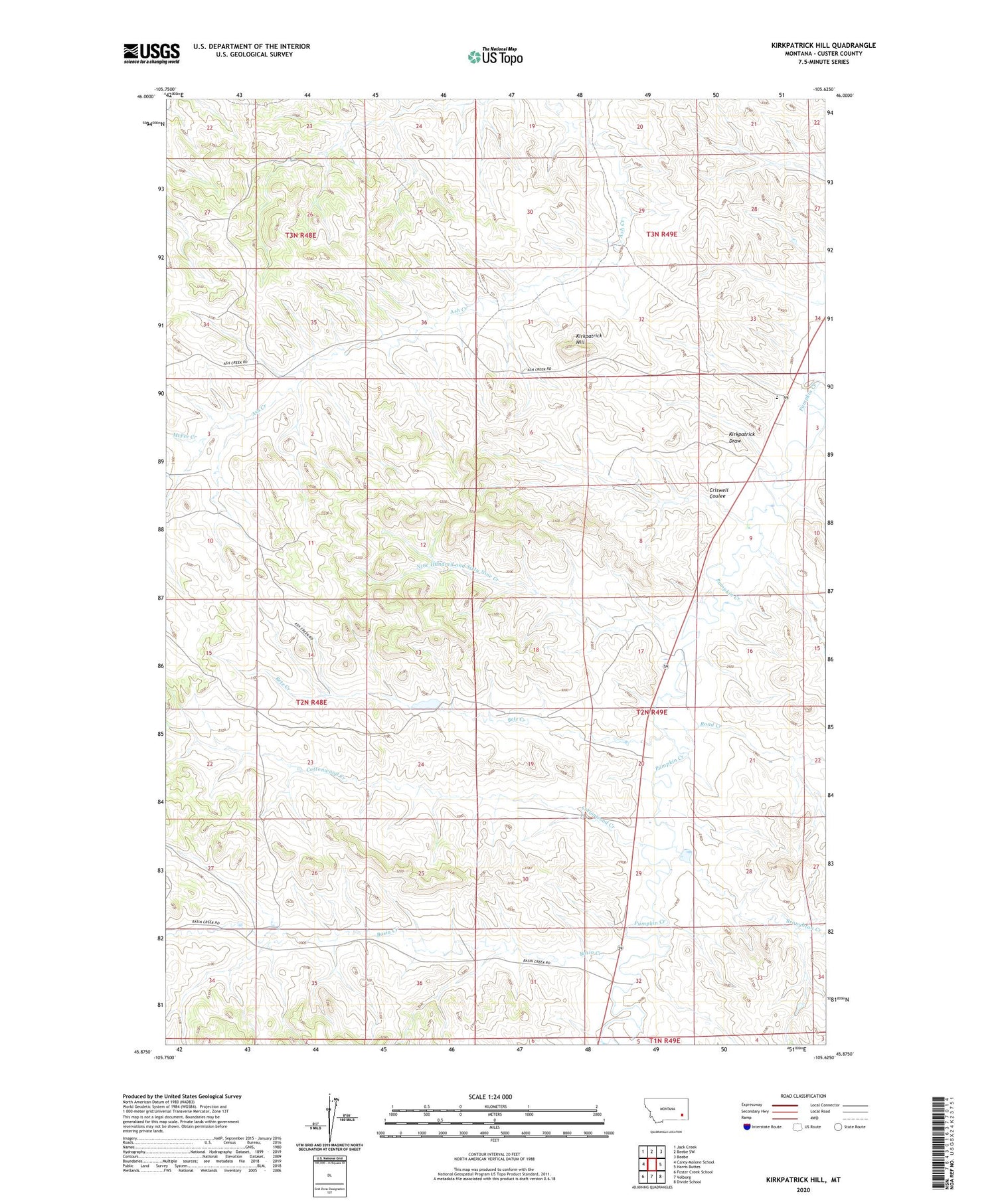
2020 topographic map quadrangle Kirkpatrick Hill in the state of Montana. Scale: 1:24000. Based on the newly updated USGS 7.5' US Topo map series, this map is in the following counties: Custer. The map contains contour data, water features, and other items you are used to seeing on USGS maps, but also has updated roads and other features. This is the next generation of topographic maps. Printed on high-quality waterproof paper with UV fade-resistant inks.
Quads adjacent to this one:
West: Carey-Malone School
Northwest: Jack Creek
North: Beebe SW
Northeast: Beebe
East: Harris Buttes
Southeast: Divide School
South: Volborg
Southwest: Foster Creek School
Contains the following named places: 02N48E02BABA01 Well, 02N49E04AACD01 Well, 02N49E04CADC01 Well, 03N48E27CABD01 Well, Allan Number 2 Dam, Allen Number 5 Dam, Allen Ranch, Ash Creek School, Basin Creek, Betz Creek, Broughton Creek, Cottonwood Creek, Criswell Coulee, Harris Creek, Kirkpatrick Draw, Kirkpatrick Hill, McFee Creek, Nine Hundred and Sixty Nine Creek, Road Creek, S Y School