
MyTopo
Knees Montana US Topo Map
Couldn't load pickup availability
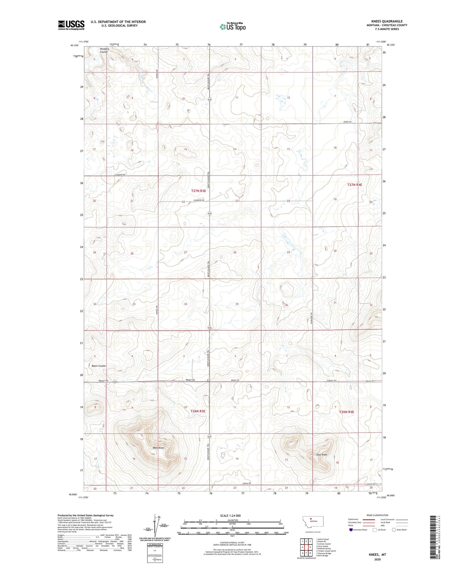
2020 topographic map quadrangle Knees in the state of Montana. Scale: 1:24000. Based on the newly updated USGS 7.5' US Topo map series, this map is in the following counties: Chouteau. The map contains contour data, water features, and other items you are used to seeing on USGS maps, but also has updated roads and other features. This is the next generation of topographic maps. Printed on high-quality waterproof paper with UV fade-resistant inks.
Quads adjacent to this one:
West: Faris School
Northwest: Sollid School
North: Knees NE
Northeast: Carlson Coulee
East: McBridy Spring
Southeast: Dent Bridge
South: Shannon Bridge
Southwest: Timber Coulee North
Contains the following named places: Ashmoor, Ashmoor Post Office, Ashmoor School, Aznoe Number 1 Dam, East Knee, Genou, Genou Post Office, Hey Ray Number 2 Dam, Knees Community Hall, Knees School, Lucille, Lucille Post Office, Midway School, Snortland Dam, West Knee


