MyTopo
Lower Miner Lakes Montana US Topo Map
Couldn't load pickup availability
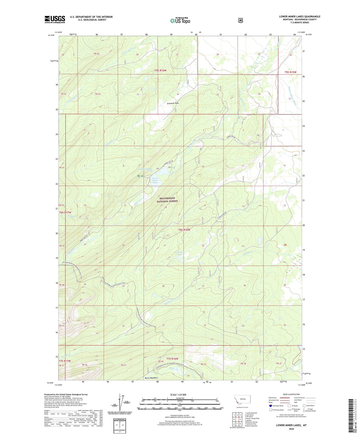
2020 topographic map quadrangle Lower Miner Lakes in the state of Montana. Scale: 1:24000. Based on the newly updated USGS 7.5' US Topo map series, this map is in the following counties: Beaverhead. The map contains contour data, water features, and other items you are used to seeing on USGS maps, but also has updated roads and other features. This is the next generation of topographic maps. Printed on high-quality waterproof paper with UV fade-resistant inks.
Quads adjacent to this one:
West: Homer Youngs Peak
Northwest: Jumbo Mountain
North: Ajax Ranch
Northeast: Fox Gulch
East: Jackson
Southeast: Selway Mountain
South: Goldstone Pass
Southwest: Bohannon Spring
Contains the following named places: 06S16W09CBDA01 Spring, 06S16W09CBDC01 Well, 06S16W09CBDD01 Well, 06S16W09CCCD01 Well, Englejard Lake, Gravelle Creek, Gravelle Park, Kelly Creek, Lower Miner Lakes, Miner Lake Campground