MyTopo
McGinnis Butte Montana US Topo Map
Couldn't load pickup availability
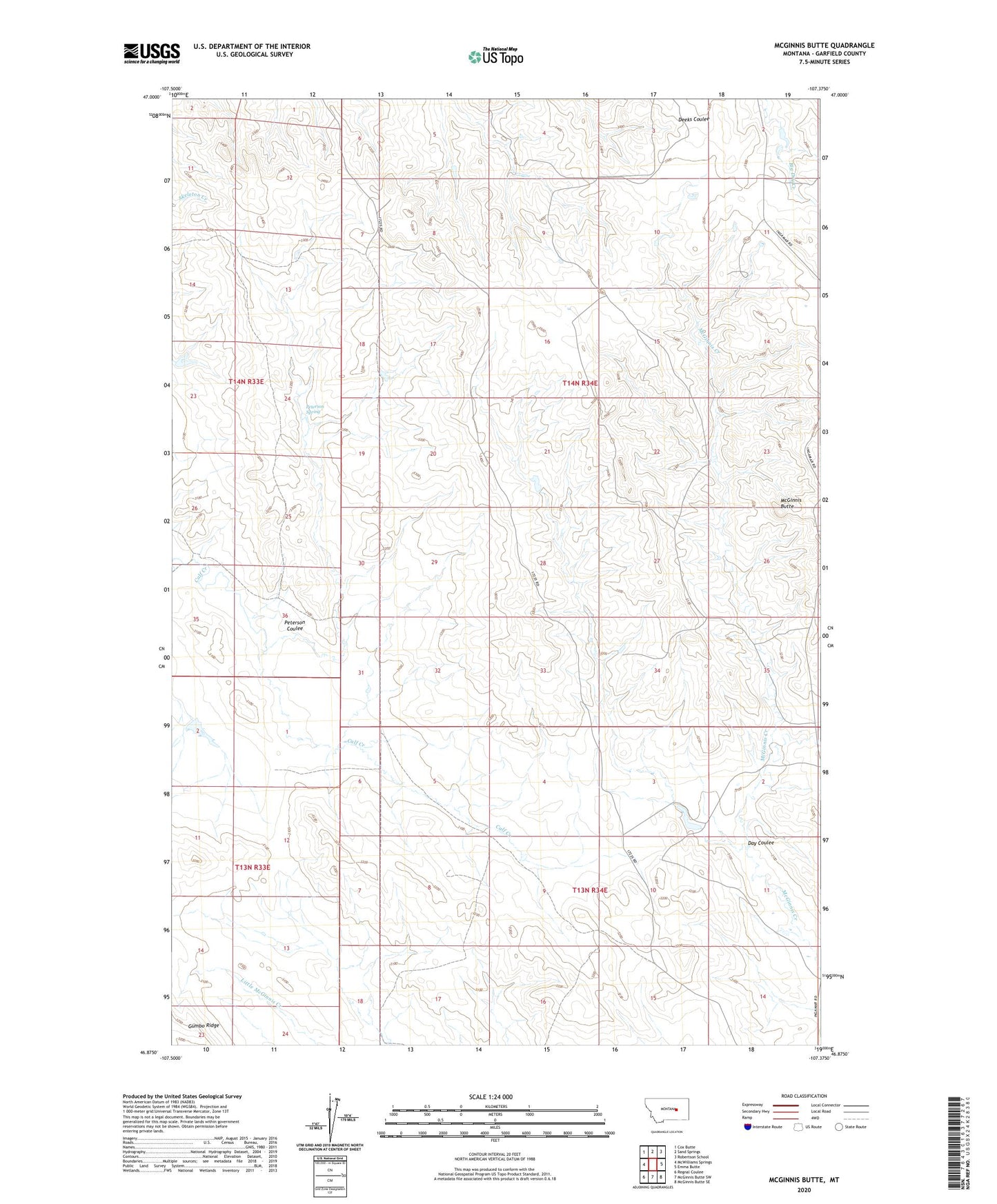
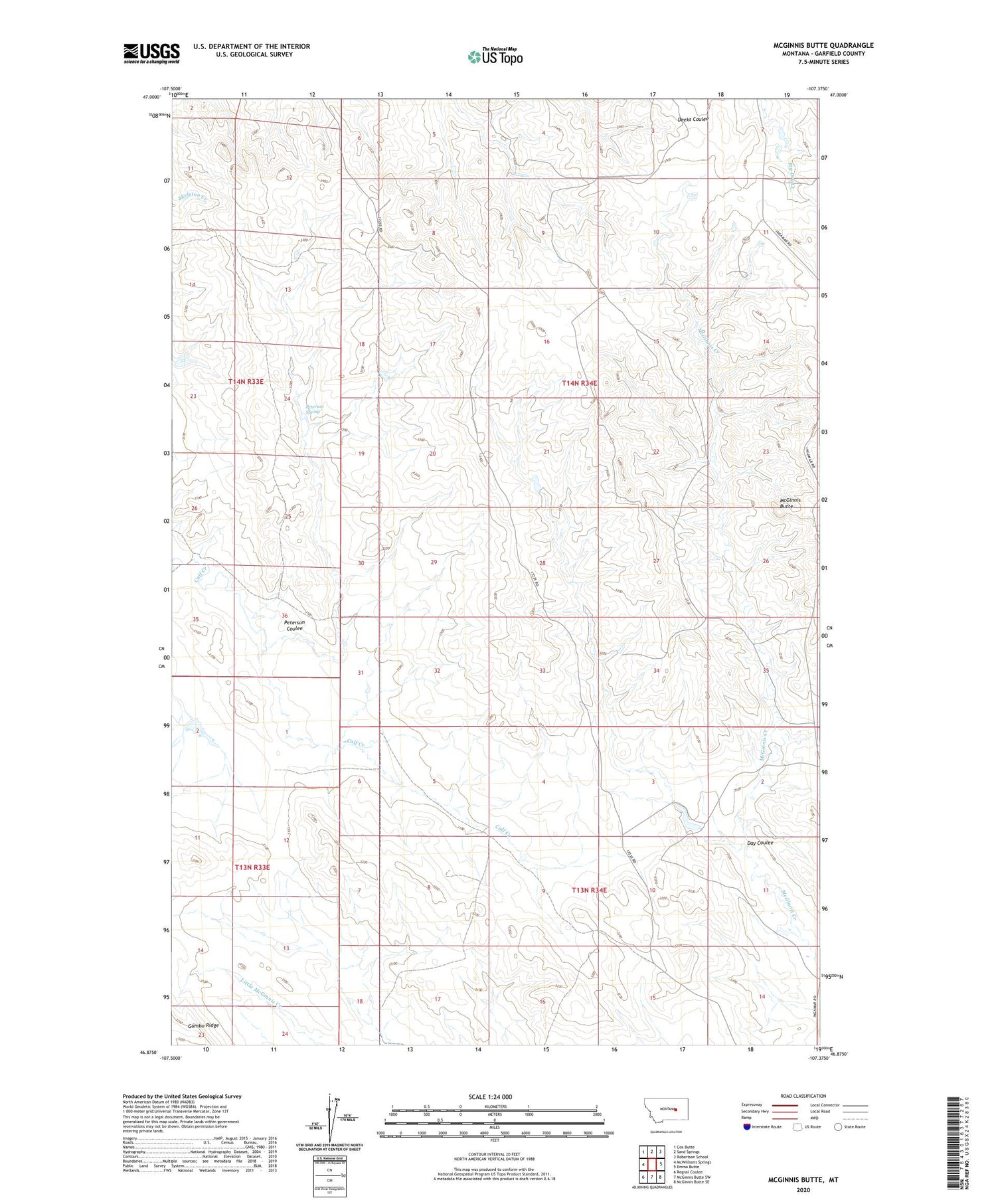
2020 topographic map quadrangle McGinnis Butte in the state of Montana. Scale: 1:24000. Based on the newly updated USGS 7.5' US Topo map series, this map is in the following counties: Garfield. The map contains contour data, water features, and other items you are used to seeing on USGS maps, but also has updated roads and other features. This is the next generation of topographic maps. Printed on high-quality waterproof paper with UV fade-resistant inks.
Quads adjacent to this one:
West: McWilliams Springs
Northwest: Cox Butte
North: Sand Springs
Northeast: Robertson School
East: Emma Butte
Southeast: McGinnis Butte SE
South: McGinnis Butte SW
Southwest: Regnal Coulee
Contains the following named places: 71 Ranch Number 1 Dam, 71 Ranch Number 2 Dam, Day Coulee, Fairview School, Galt Number 28 Dam, McGinnis Butte, Papps Reservoir Dam, Peterson Coulee, Peterson Spring, Robertson Reservoir Dam, Unity School