MyTopo
McWilliams Springs Montana US Topo Map
Couldn't load pickup availability
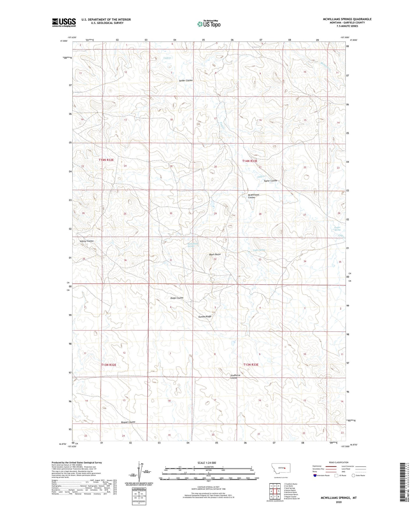
2024 topographic map quadrangle McWilliams Springs in the state of Montana. Scale: 1:24000. Based on the newly updated USGS 7.5' US Topo map series, this map is in the following counties: Garfield. The map contains contour data, water features, and other items you are used to seeing on USGS maps, but also has updated roads and other features. This is the next generation of topographic maps. Printed on high-quality waterproof paper with UV fade-resistant inks.
Quads adjacent to this one:
West: Dutton Ranch
Northwest: Froehlich Butte
North: Cox Butte
Northeast: Sand Springs
East: McGinnis Butte
Southeast: McGinnis Butte SW
South: Regnal Coulee
Southwest: Kincheloe Ranch
This map covers the same area as the classic USGS quad with code o46107h5.
Contains the following named places: Alice, Alice Post Office, Black Butte, Geyser Spring, Gumbo Ridge, McWilliams Coulee, McWilliams Springs, Seider Coulee, Taylor Coulee, Taylor Spring