MyTopo
Noble Reservoir Montana US Topo Map
Couldn't load pickup availability
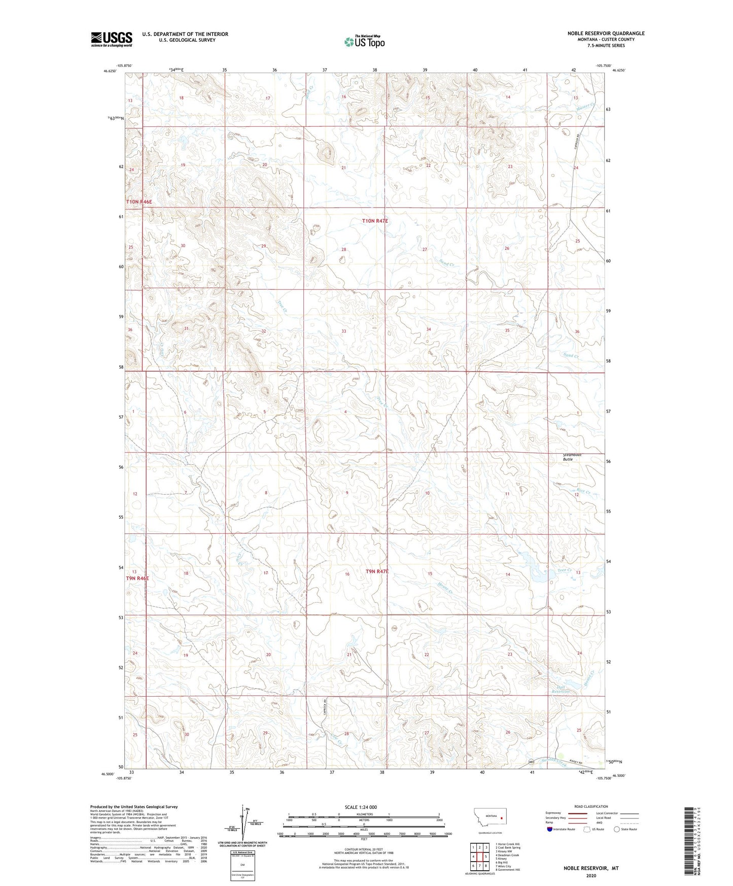
2020 topographic map quadrangle Noble Reservoir in the state of Montana. Scale: 1:24000. Based on the newly updated USGS 7.5' US Topo map series, this map is in the following counties: Custer. The map contains contour data, water features, and other items you are used to seeing on USGS maps, but also has updated roads and other features. This is the next generation of topographic maps. Printed on high-quality waterproof paper with UV fade-resistant inks.
Quads adjacent to this one:
West: Deadman Creek
Northwest: Horse Creek Hill
North: Coal Bank Spring
Northeast: Kinsey NW
East: Kinsey
Southeast: Government Hill
South: Miles City
Southwest: Big Hill
Contains the following named places: 09N47E02DBAA01 Well, 09N47E10BACC01 Well, 09N47E11CBAA01 Well, 09N47E23ACBC01 Well, 09N47E24CDDC01 Well, 09N47E28ACBA01 Well, 10N47E13DCCD01 Well, Hall Dam, Hall Reservoir, Noble Dam, Noble Reservoir, Reichert Number 1 Dam, Steamboat Butte