MyTopo
Coal Bank Spring Montana US Topo Map
Couldn't load pickup availability
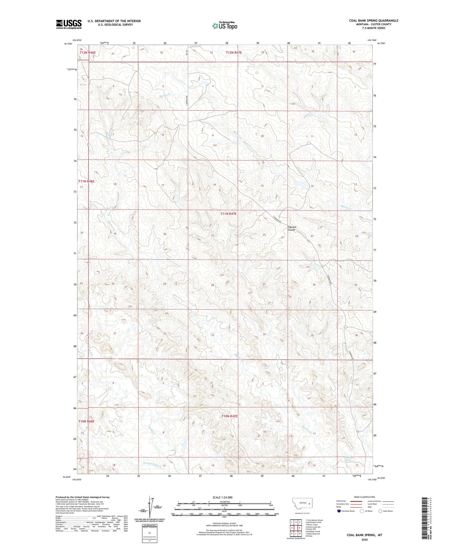
2024 topographic map quadrangle Coal Bank Spring in the state of Montana. Scale: 1:24000. Based on the newly updated USGS 7.5' US Topo map series, this map is in the following counties: Custer. The map contains contour data, water features, and other items you are used to seeing on USGS maps, but also has updated roads and other features. This is the next generation of topographic maps. Printed on high-quality waterproof paper with UV fade-resistant inks.
Quads adjacent to this one:
West: Horse Creek Hill
Northwest: Twin Buttes School
North: Morehouse Creek
Northeast: Physic Creek
East: Kinsey NW
Southeast: Kinsey
South: Noble Reservoir
Southwest: Deadman Creek
This map covers the same area as the classic USGS quad with code o46105f7.
Contains the following named places: 11N47E08ADAA01 Well, Cap Rock Number 4 Dam, Coal Bank Spring, Kountz Number 2 Dam, North Custer Division, West Fork Sand Creek