
MyTopo
North Chinook Reservoir Montana US Topo Map
Couldn't load pickup availability
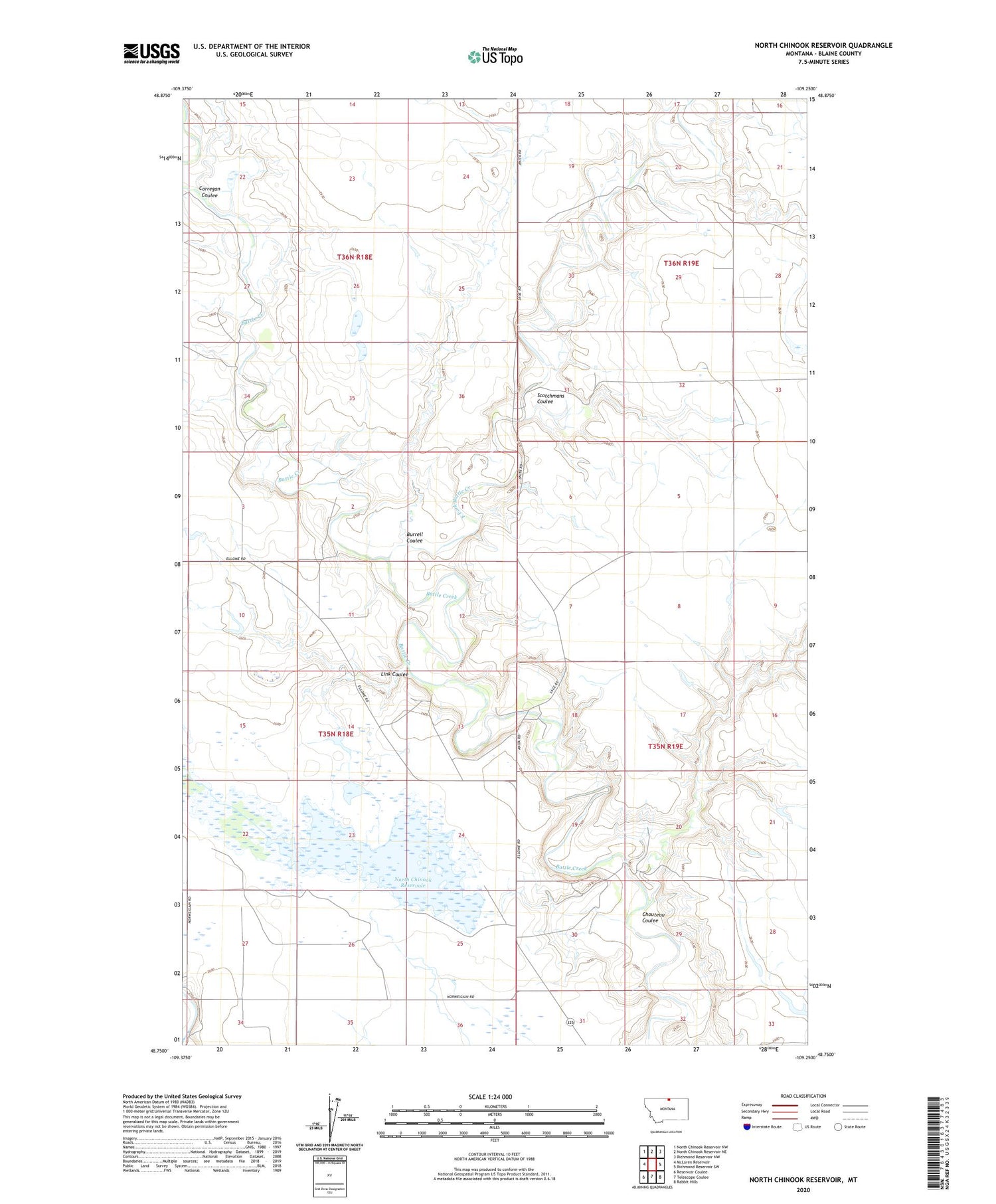
2020 topographic map quadrangle North Chinook Reservoir in the state of Montana. Scale: 1:24000. Based on the newly updated USGS 7.5' US Topo map series, this map is in the following counties: Blaine. The map contains contour data, water features, and other items you are used to seeing on USGS maps, but also has updated roads and other features. This is the next generation of topographic maps. Printed on high-quality waterproof paper with UV fade-resistant inks.
Quads adjacent to this one:
West: McLaren Reservoir
Northwest: North Chinook Reservoir NW
North: North Chinook Reservoir NE
Northeast: Richmond Reservoir NW
East: Richmond Reservoir SW
Southeast: Rabbit Hills
South: Telescope Coulee
Southwest: Reservoir Coulee
Contains the following named places: 35N56E25AC__11 Well, 35N56E25AC__12 Well, Boldt School, Burrell Coulee, Chouteau Coulee, Corregan Coulee, East Fork Battle Creek, Hamm School, Hopkins School, Korn Post Office, Link Coulee, Mister Flaming Jet Dam, North Chinook Dam, North Chinook Reservoir, North Star School, Ripley School, Royal Champion Dam, Scotchmans Coulee


