MyTopo
Rowley NW Montana US Topo Map
Couldn't load pickup availability
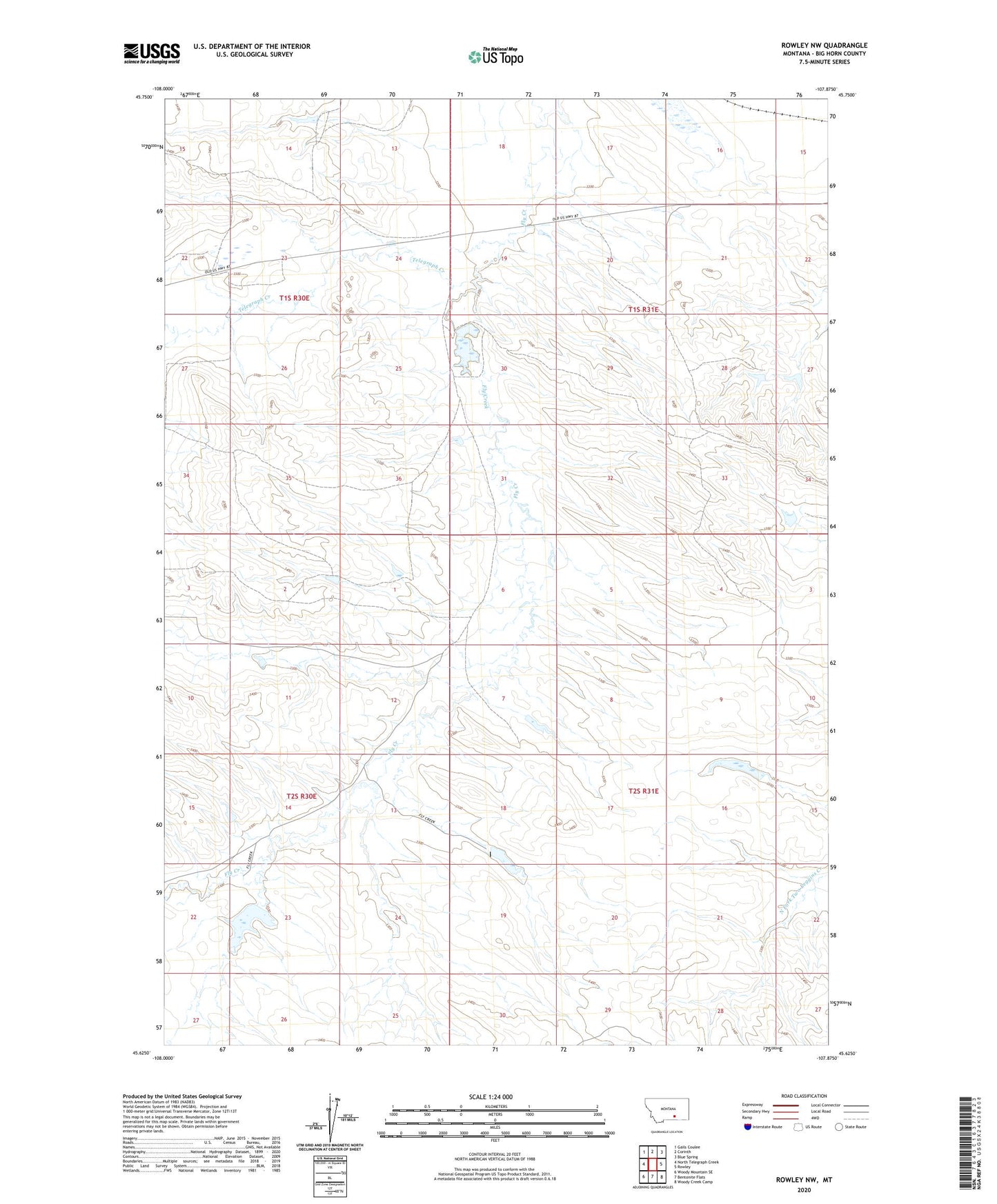
2020 topographic map quadrangle Rowley NW in the state of Montana. Scale: 1:24000. Based on the newly updated USGS 7.5' US Topo map series, this map is in the following counties: Big Horn. The map contains contour data, water features, and other items you are used to seeing on USGS maps, but also has updated roads and other features. This is the next generation of topographic maps. Printed on high-quality waterproof paper with UV fade-resistant inks.
Quads adjacent to this one:
West: North Telegraph Creek
Northwest: Gails Coulee
North: Corinth
Northeast: Blue Spring
East: Rowley
Southeast: Woody Creek Camp
South: Bentonite Flats
Southwest: Woody Mountain SE
Contains the following named places: Christensen L and C Number 1 Dam, Crow Number 16 Dam, Flannery, J R Scott Number 1 Dam, J R Scott Number 5 Dam, J R Scott Number 8 Dam, J R Scott Number 9 Dam, Kjeldgaard Number 2 Dam, North Telegraph Creek, R Downs Number 7 Dam, Telegraph Creek