MyTopo
Schuyler Butte Montana US Topo Map
Couldn't load pickup availability
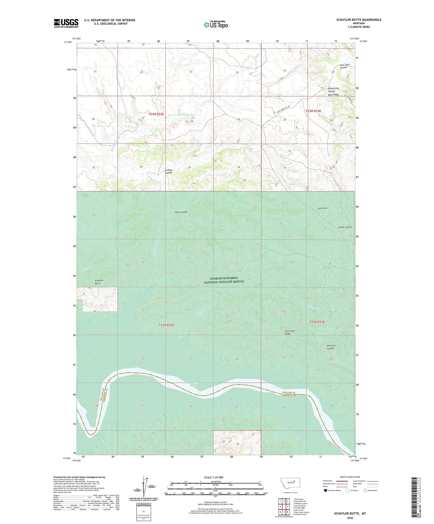
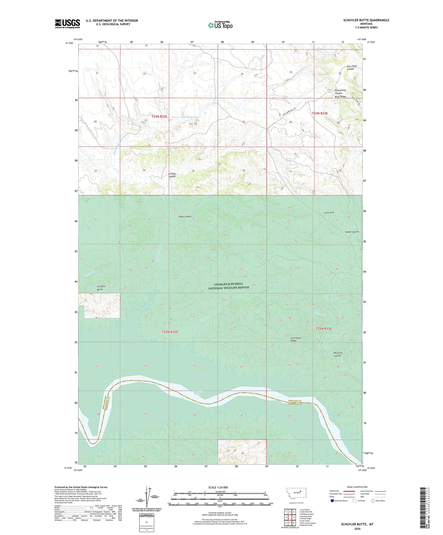
2020 topographic map quadrangle Schuyler Butte in the state of Montana. Scale: 1:24000. Based on the newly updated USGS 7.5' US Topo map series, this map is in the following counties: Phillips, Garfield. The map contains contour data, water features, and other items you are used to seeing on USGS maps, but also has updated roads and other features. This is the next generation of topographic maps. Printed on high-quality waterproof paper with UV fade-resistant inks.
Quads adjacent to this one:
West: Herman Point
Northwest: Sun Prairie
North: Coal Mine Hill
Northeast: Whiskey Coulee
East: Swede Ridge
Southeast: Sawmill Creek
South: Pine Grove School
Southwest: Lost Creek
Contains the following named places: 22N32E03DA__01 Well, Chippy Creek, Dryer Place, Kill Woman Creek, La Plaz Coulee, Leedy, Leedy Post Office, Leedy School, Schuyler Butte, Shed Coulee