MyTopo
Steve Forks Montana US Topo Map
Couldn't load pickup availability
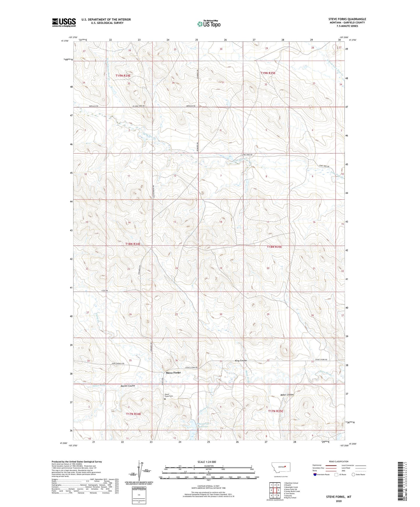
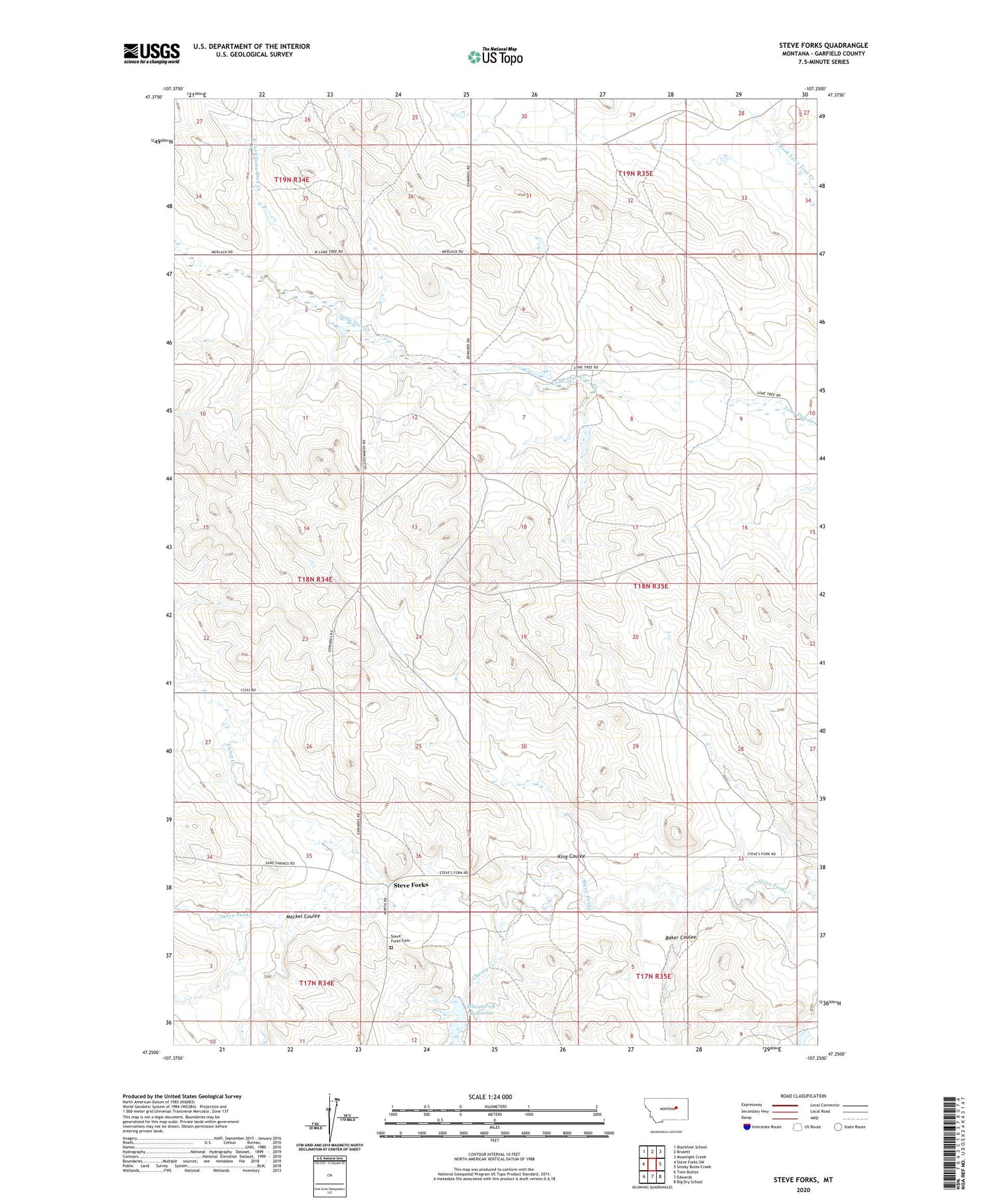
2020 topographic map quadrangle Steve Forks in the state of Montana. Scale: 1:24000. Based on the newly updated USGS 7.5' US Topo map series, this map is in the following counties: Garfield. The map contains contour data, water features, and other items you are used to seeing on USGS maps, but also has updated roads and other features. This is the next generation of topographic maps. Printed on high-quality waterproof paper with UV fade-resistant inks.
Quads adjacent to this one:
West: Steve Forks SW
Northwest: Blackfoot School
North: Brusett
Northeast: Moonlight Creek
East: Smoky Butte Creek
Southeast: Big Dry School
South: Edwards
Southwest: Twin Buttes
Contains the following named places: 18N34E24CC__01 Well, Baker Coulee, Camp Creek, Cherry Creek, East Fork Lone Tree Creek, Get Down Dam, King Coulee, Meckel Coulee, Merlin Dam, Put It Together Dam, Steve Forks, Steve Forks Cemetery, Steves Fork School, Stevesfork Post Office, Waldo Number 2 Dam, Wheatcroft Reservoir