MyTopo
Sullivan Coulee Montana US Topo Map
Couldn't load pickup availability
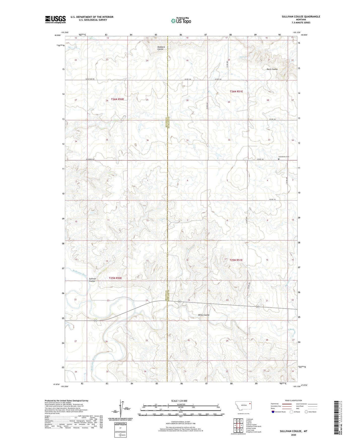
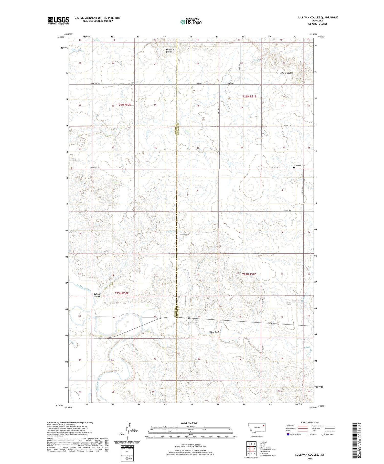
2020 topographic map quadrangle Sullivan Coulee in the state of Montana. Scale: 1:24000. Based on the newly updated USGS 7.5' US Topo map series, this map is in the following counties: Richland, McCone. The map contains contour data, water features, and other items you are used to seeing on USGS maps, but also has updated roads and other features. This is the next generation of topographic maps. Printed on high-quality waterproof paper with UV fade-resistant inks.
Quads adjacent to this one:
West: Dowse Coulee
Northwest: Nickwall
North: Poplar
Northeast: Sprole
East: Duplisse Creek North
Southeast: Duplisse Creek South
South: Lisk Creek
Southwest: Kraut Coulee
Contains the following named places: 25N50E24CABC01 Well, 25N50E24CBDA01 Well, 25N50E25DB__01 Well, 26N50E14CDCC01 Well, 26N51E29BA__01 Well, Boardman Ditch, East Redwater Creek, Gage Station, Grandview Cemetery, Long Grass Creek, Milne Coulee, Muskrat Creek, Newman Dam, Sullivan Coulee, Willough Dam, Win Number 1 Dam