MyTopo
Duplisse Creek North Montana US Topo Map
Couldn't load pickup availability
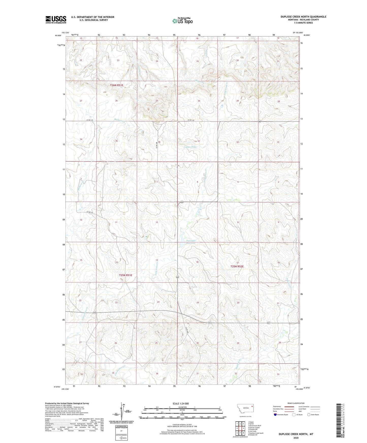
2024 topographic map quadrangle Duplisse Creek North in the state of Montana. Scale: 1:24000. Based on the newly updated USGS 7.5' US Topo map series, this map is in the following counties: Richland. The map contains contour data, water features, and other items you are used to seeing on USGS maps, but also has updated roads and other features. This is the next generation of topographic maps. Printed on high-quality waterproof paper with UV fade-resistant inks.
Quads adjacent to this one:
West: Sullivan Coulee
Northwest: Poplar
North: Sprole
Northeast: Mortarstone Bluff
East: Elmdale NW
Southeast: Elmdale SW
South: Duplisse Creek South
Southwest: Lisk Creek
This map covers the same area as the classic USGS quad with code o47105h1.
Contains the following named places: 14N53E04CCCA01 Well, 25N52E05CCAC01 Well, 25N52E18BCDA01 Well, 25N52E30D___01 Well, 26N51E34ADDD01 Well, Cactus Ridge, Candee Pond, Fatzinger Reservoir, Gidley Post Office, Zinger Number 1 Dam