MyTopo
Thoeny Hills East Montana US Topo Map
Couldn't load pickup availability
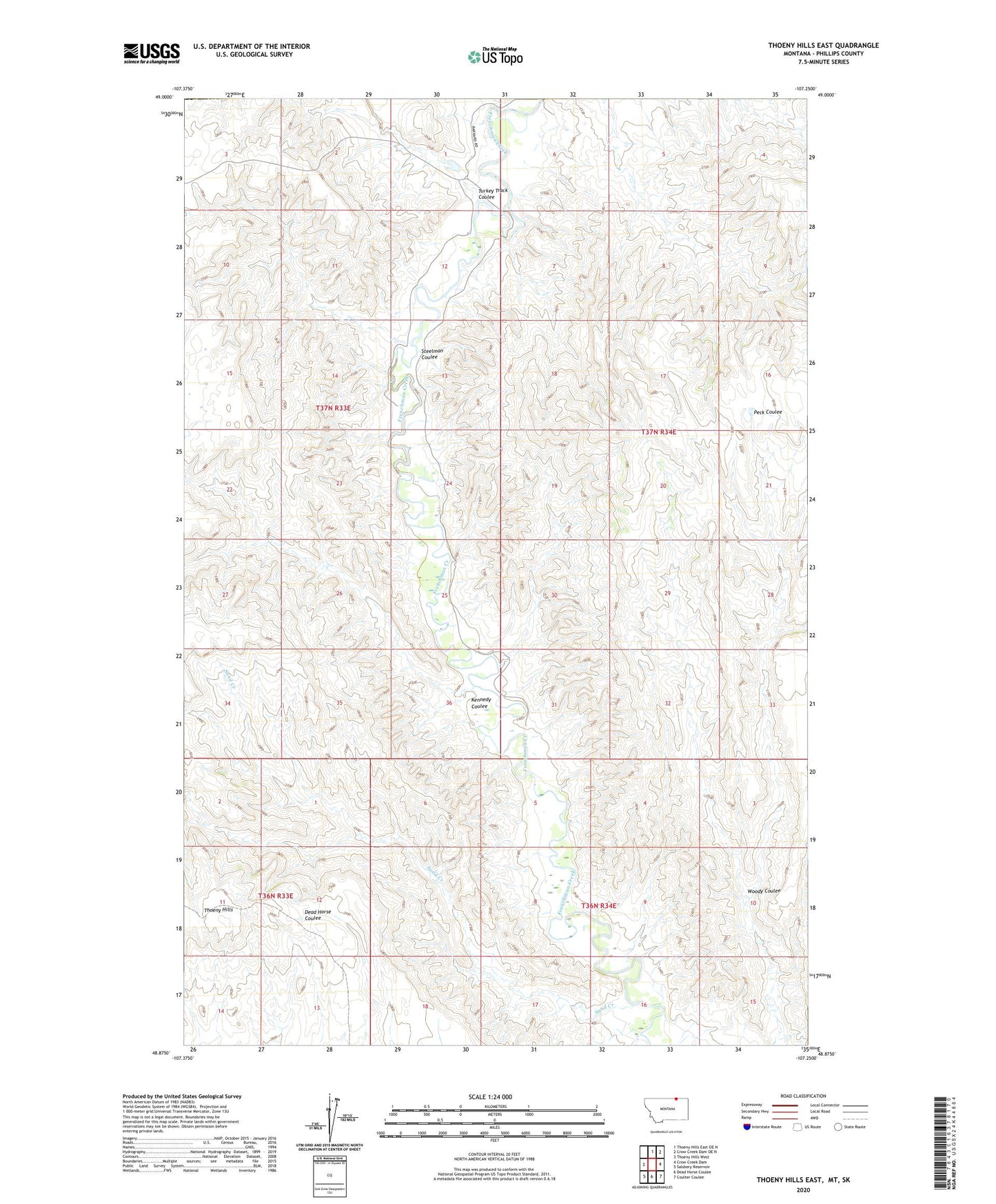
2020 topographic map quadrangle Thoeny Hills East in the state of Montana. Scale: 1:24000. Based on the newly updated USGS 7.5' US Topo map series, this map is in the following counties: Phillips. The map contains contour data, water features, and other items you are used to seeing on USGS maps, but also has updated roads and other features. This is the next generation of topographic maps. Printed on high-quality waterproof paper with UV fade-resistant inks.
Quads adjacent to this one:
West: Thoeny Hills West
North: Thoeny Hills East OE N
Northeast: Crow Creek Dam OE N
East: Crow Creek Dam
Southeast: Coulter Coulee
South: Dead Horse Coulee
Southwest: Salsbery Reservoir
Contains the following named places: Greve School, Kennedy Coulee, Sand Creek, Steelman Coulee, Thoeny Hills, Turkey Track Coulee, Woody Coulee