MyTopo
Salsbery Reservoir Montana US Topo Map
Couldn't load pickup availability
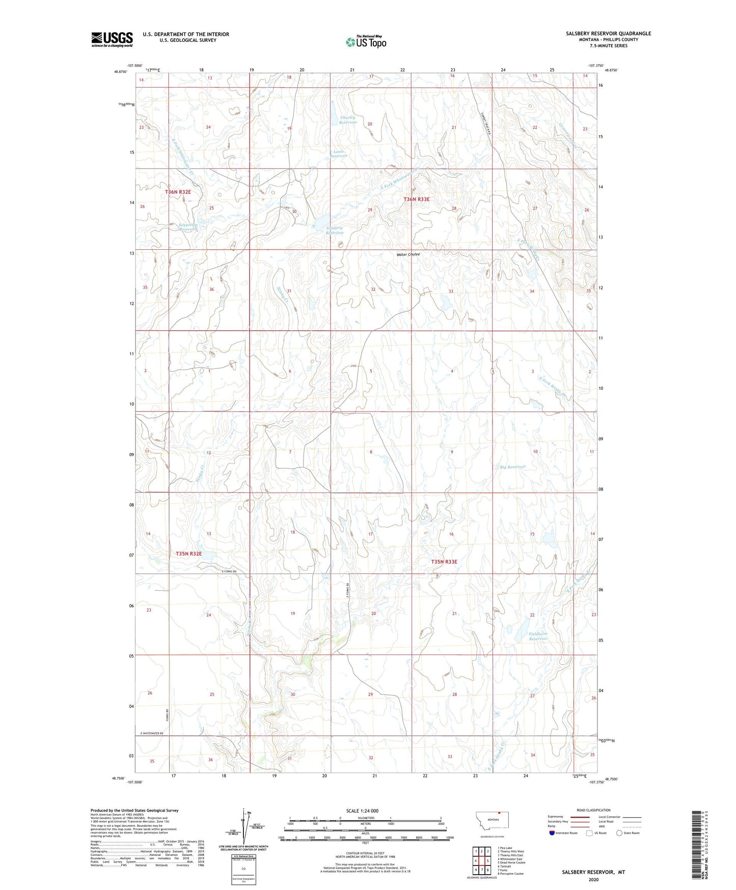
2024 topographic map quadrangle Salsbery Reservoir in the state of Montana. Scale: 1:24000. Based on the newly updated USGS 7.5' US Topo map series, this map is in the following counties: Phillips. The map contains contour data, water features, and other items you are used to seeing on USGS maps, but also has updated roads and other features. This is the next generation of topographic maps. Printed on high-quality waterproof paper with UV fade-resistant inks.
Quads adjacent to this one:
West: Whitewater East
Northwest: Pea Lake
North: Thoeny Hills West
Northeast: Thoeny Hills East
East: Dead Horse Coulee
Southeast: Porcupine Coulee
South: Forks
Southwest: Tattnall
This map covers the same area as the classic USGS quad with code o48107g4.
Contains the following named places: 35N33E19DBA_01 Well, Big Reservoir, Charley Reservoir, Fjeldheim Reservoir, Fjldheim Dam, Grytdahl School, Joenni Ohson School, Louie Reservoir, Salsbery Dam, Salsbery Reservoir, Schmittou Reservoir, Turkey Track Dam