MyTopo
Beaver City Nebraska US Topo Map
Couldn't load pickup availability
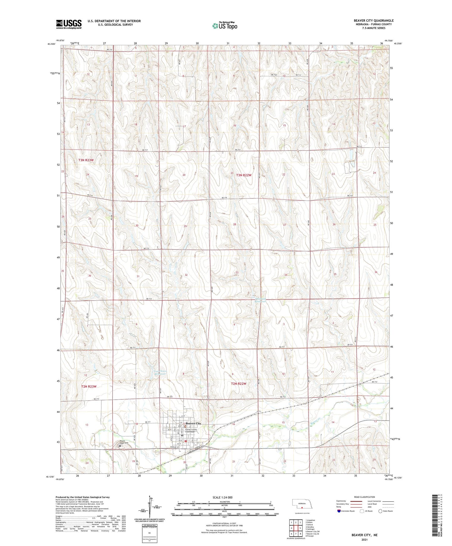
2021 topographic map quadrangle Beaver City in the state of Nebraska. Scale: 1:24000. Based on the newly updated USGS 7.5' US Topo map series, this map is in the following counties: Furnas. The map contains contour data, water features, and other items you are used to seeing on USGS maps, but also has updated roads and other features. This is the next generation of topographic maps. Printed on high-quality waterproof paper with UV fade-resistant inks.
Quads adjacent to this one:
West: Hendley
Northwest: Arapahoe
North: Edison
Northeast: Oxford
East: Hollinger
Southeast: Precept
South: Beaver City SE
Southwest: Beaver City SW
Contains the following named places: Beaver City, Beaver City Ambulance, Beaver City Manor, Beaver City Medical Clinic, Beaver City Police Department, Beaver City Post Office, Beaver City Public Library, Beaver City Volunteer Fire Department, City of Beaver City, First Christian Church, First Presbyterian Church, First United Methodist Church, Free Methodist Church, Friendship Center for Christian Living, Furnas County Courthouse, Furnas County Dam, Furnas County Fairground, Furnas County Sheriff's Office, Grace Brethren Church, Hewetts Airport, Mount Hope Cemetery, Nebraskas Flying Doctor Historical Marker, Seventh Day Adventist Church, Southern Valley Eleventary at Beaver City, Theobald Dam, Theobald Reservoir, Township of Beaver City, Township of Weaver, Van Cleave Reservoir, Wesleyan Evangelical Church, Westside Park, Westside Park Campground