MyTopo
Camp Hayes Lake Nebraska US Topo Map
Couldn't load pickup availability
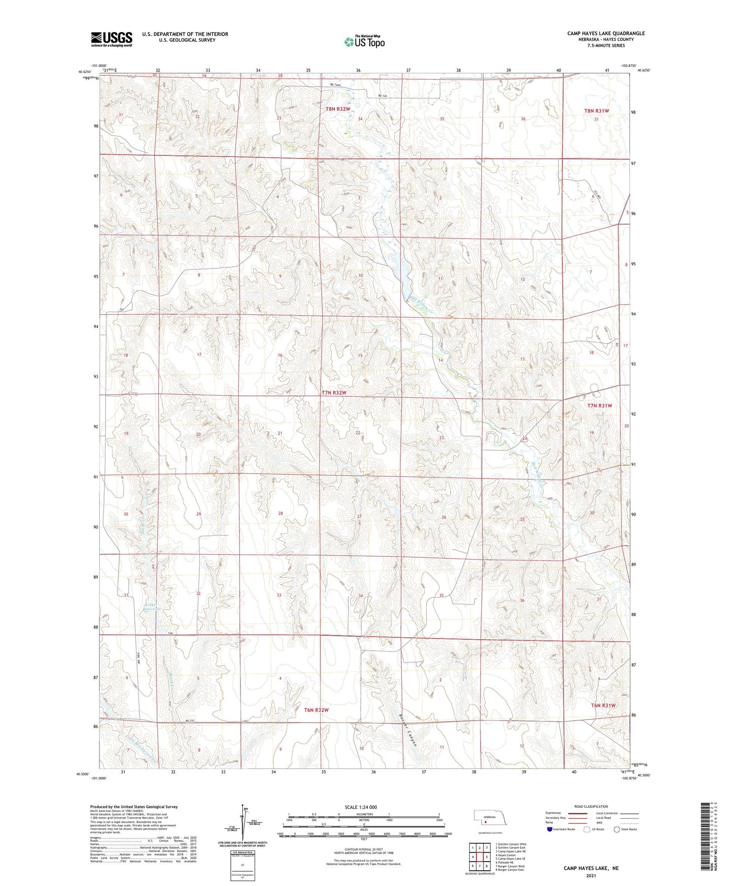
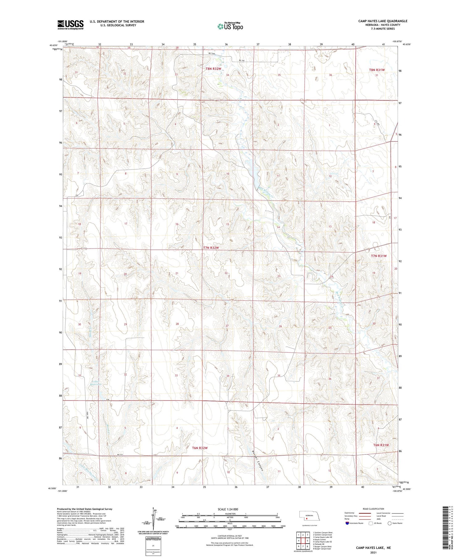
2021 topographic map quadrangle Camp Hayes Lake in the state of Nebraska. Scale: 1:24000. Based on the newly updated USGS 7.5' US Topo map series, this map is in the following counties: Hayes. The map contains contour data, water features, and other items you are used to seeing on USGS maps, but also has updated roads and other features. This is the next generation of topographic maps. Printed on high-quality waterproof paper with UV fade-resistant inks.
Quads adjacent to this one:
West: Hayes Center
Northwest: Suttlers Canyon West
North: Suttlers Canyon East
Northeast: Camp Hayes Lake NE
East: Camp Hayes Lake SE
Southeast: Burger Canyon East
South: Burger Canyon West
Southwest: Palisade NE
Contains the following named places: Camp Hayes Lake, Grand Duke Alexis Historical Marker, Hayes Center Special Use Dam, Hayes Center Special Use Reservoir, Hayes Center State Wildlife Management Area, Lelker Dam, Lelker Reservoir