MyTopo
Camp Hayes Lake SE Nebraska US Topo Map
Couldn't load pickup availability
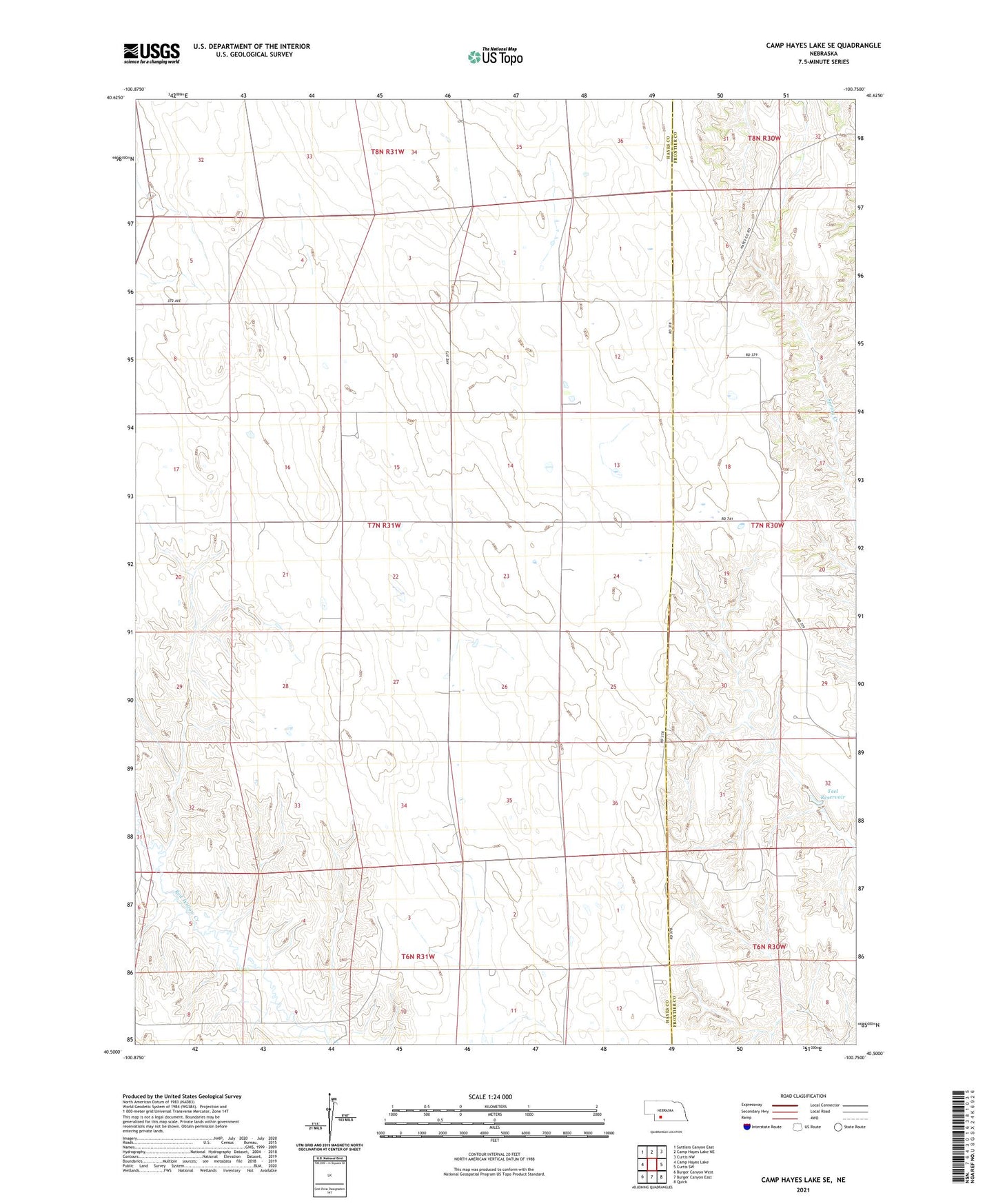
2021 topographic map quadrangle Camp Hayes Lake SE in the state of Nebraska. Scale: 1:24000. Based on the newly updated USGS 7.5' US Topo map series, this map is in the following counties: Hayes, Frontier. The map contains contour data, water features, and other items you are used to seeing on USGS maps, but also has updated roads and other features. This is the next generation of topographic maps. Printed on high-quality waterproof paper with UV fade-resistant inks.
Quads adjacent to this one:
West: Camp Hayes Lake
Northwest: Suttlers Canyon East
North: Camp Hayes Lake NE
Northeast: Curtis NW
East: Curtis SW
Southeast: Quick
South: Burger Canyon East
Southwest: Burger Canyon West
This map covers the same area as the classic USGS quad with code o40100e7.
Contains the following named places: Evergreen Union Church, Germanville Election Precinct, Saint John Church, Teel Dam, Teel Reservoir