MyTopo
Chadron NE Nebraska US Topo Map
Couldn't load pickup availability
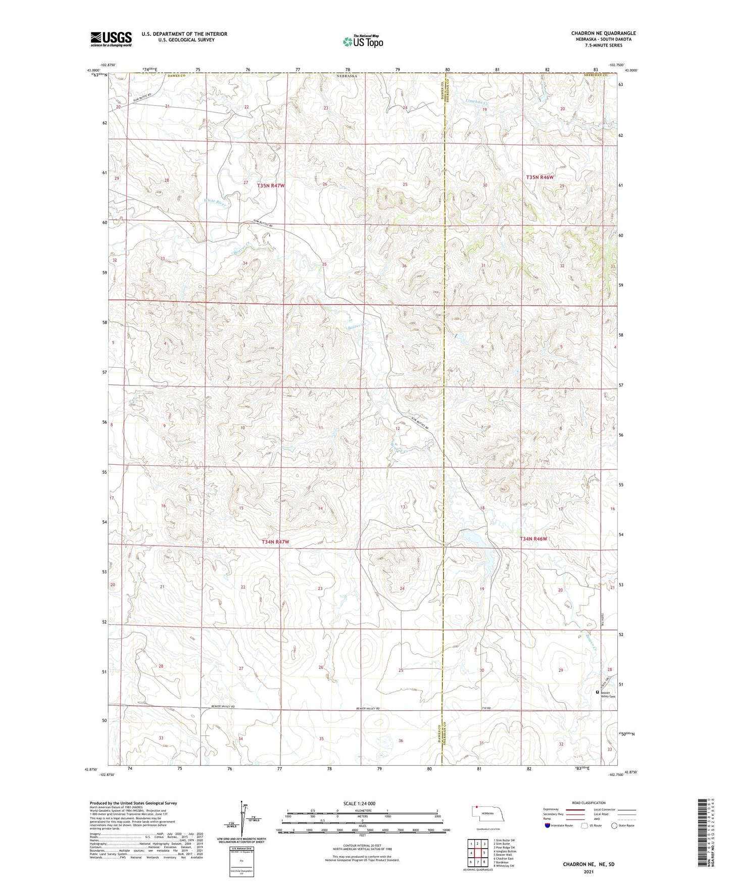
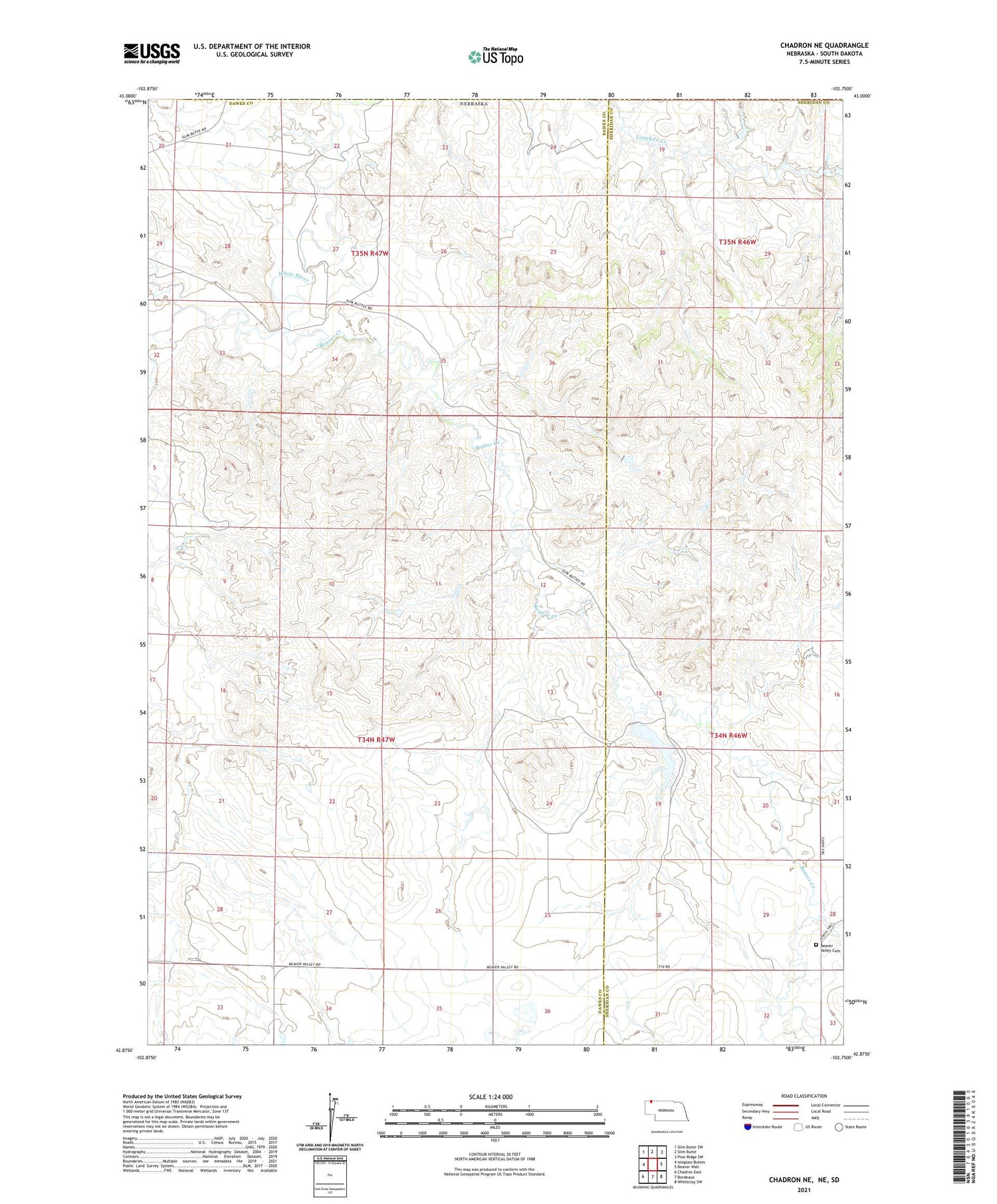
2021 topographic map quadrangle Chadron NE in the state of Nebraska. Scale: 1:24000. Based on the newly updated USGS 7.5' US Topo map series, this map is in the following counties: Dawes, Sheridan, Oglala Lakota. The map contains contour data, water features, and other items you are used to seeing on USGS maps, but also has updated roads and other features. This is the next generation of topographic maps. Printed on high-quality waterproof paper with UV fade-resistant inks.
Quads adjacent to this one:
West: Isinglass Buttes
Northwest: Slim Butte SW
North: Slim Butte
Northeast: Pine Ridge SW
East: Beaver Wall
Southeast: Whiteclay SW
South: Bordeaux
Southwest: Chadron East
Contains the following named places: Adaton, Adaton Post Office, Alkali Creek, Beaver Creek, Beaver Valley Cemetery, Isham Dam, Isham Reservoir, Little Beaver Creek