
MyTopo
Eagle Nebraska US Topo Map
Couldn't load pickup availability
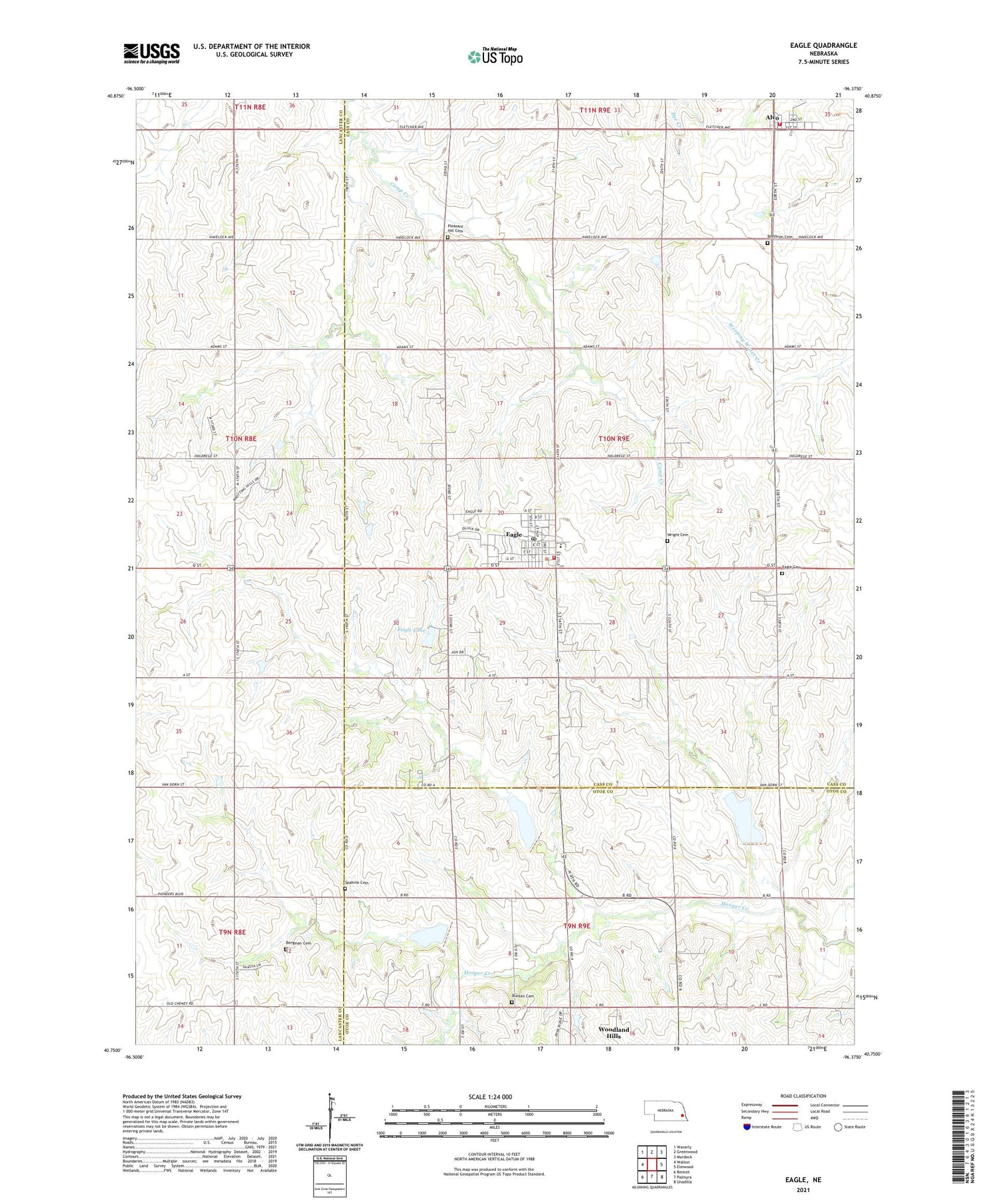
2021 topographic map quadrangle Eagle in the state of Nebraska. Scale: 1:24000. Based on the newly updated USGS 7.5' US Topo map series, this map is in the following counties: Cass, Lancaster, Otoe. The map contains contour data, water features, and other items you are used to seeing on USGS maps, but also has updated roads and other features. This is the next generation of topographic maps. Printed on high-quality waterproof paper with UV fade-resistant inks.
Quads adjacent to this one:
West: Walton
Northwest: Waverly
North: Greenwood
Northeast: Murdock
East: Elmwood
Southeast: Unadilla
South: Palmyra
Southwest: Bennet
Contains the following named places: Alvo, Alvo Fire Department, Alvo Grain and Feed Incorporated Elevator, Alvo Post Office, Alvo Rescue Squad, Alvo School, Bergman Cemetery, Brethren Cemetery, Bunten Cemetery, Eagle, Eagle Cemetery, Eagle Elementary School, Eagle Family Dentistry, Eagle Fire Department, Eagle Lake, Eagle Lake Dam, Eagle Post Office, Eagle Raceway, Eagle Rescue Squad, Greenwood Farmers Cooperative Elevator, Immanuel Lutheran Church, KFMQ-FM (Lincoln), KFRX-FM (Lincoln), Pleasant Hill Cemetery, Spahnle Cemetery, Tipton Election Precinct, Township of Tipton, Village of Alvo, Village of Eagle, Woodland Hills Census Designated Place, Woodland Hills Golf Course, Wright Cemetery, ZIP Code: 68347


