MyTopo
Murdock Nebraska US Topo Map
Couldn't load pickup availability
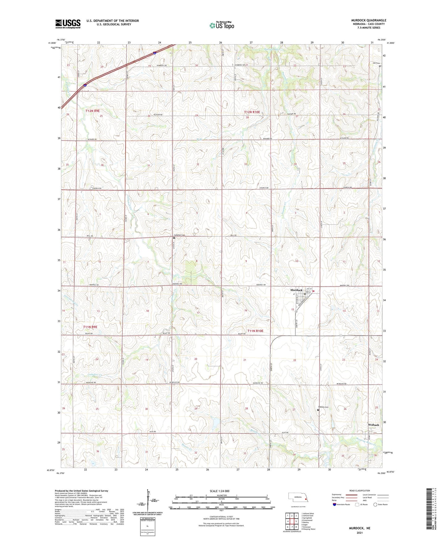
2021 topographic map quadrangle Murdock in the state of Nebraska. Scale: 1:24000. Based on the newly updated USGS 7.5' US Topo map series, this map is in the following counties: Cass. The map contains contour data, water features, and other items you are used to seeing on USGS maps, but also has updated roads and other features. This is the next generation of topographic maps. Printed on high-quality waterproof paper with UV fade-resistant inks.
Quads adjacent to this one:
West: Greenwood
Northwest: Ashland West
North: Ashland East
Northeast: Springfield
East: Manley
Southeast: Weeping Water
South: Elmwood
Southwest: Eagle
This map covers the same area as the classic USGS quad with code o40096h3.
Contains the following named places: Beaver Creek, Callahan Cemetery, Callahan Church, Elmwood Election Precinct, Elmwood-Murdock Junior-Senior High School, Fountain Creek, Grandpas Woods Camping, Grandpas Woods Golf Course, Greenwood Farmers Cooperative Elevator, Hill Cemetery, Murdock, Murdock Fire Department, Murdock Post Office, Pawnee Lake, South Bend Election Precinct, Township of Elmwood, Township of South Bend, Trinity Church, United Methodist Church, Village of Murdock, Wabash, Wabash Cemetery, Wabash Post Office, Wabash School, West Branch, Wiles Dam, ZIP Code: 68407