MyTopo
Haigler Nebraska US Topo Map
Couldn't load pickup availability
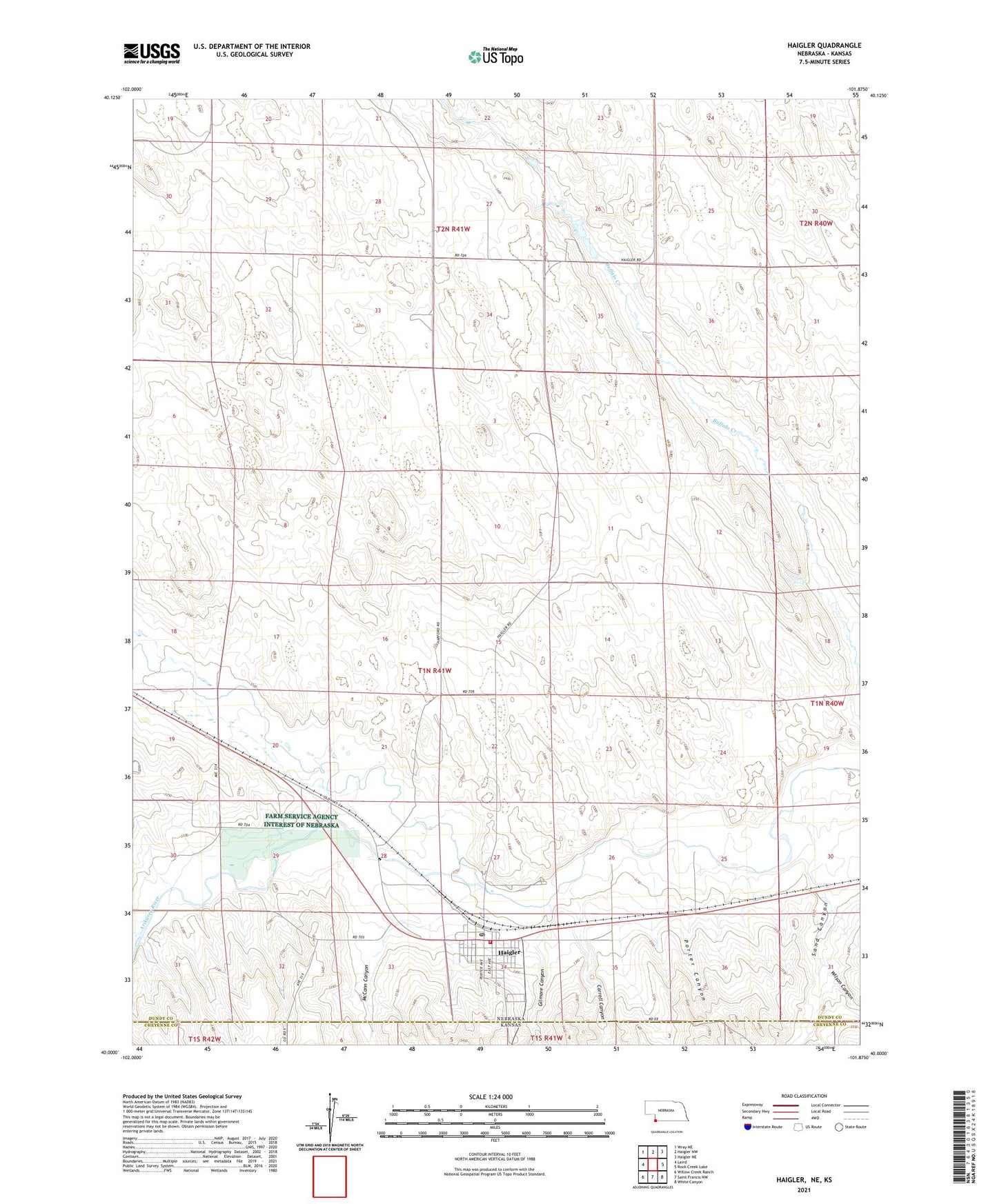
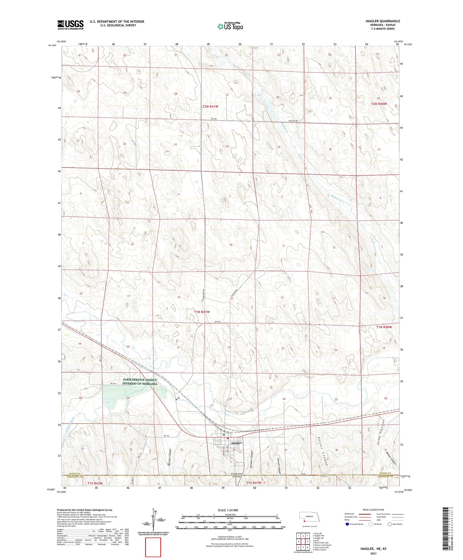
2021 topographic map quadrangle Haigler in the state of Nebraska. Scale: 1:24000. Based on the newly updated USGS 7.5' US Topo map series, this map is in the following counties: Dundy, Cheyenne. The map contains contour data, water features, and other items you are used to seeing on USGS maps, but also has updated roads and other features. This is the next generation of topographic maps. Printed on high-quality waterproof paper with UV fade-resistant inks.
Quads adjacent to this one:
West: Laird
Northwest: Wray NE
North: Haigler NW
Northeast: Haigler NE
East: Rock Creek Lake
Southeast: White Canyon
South: Saint Francis NW
Southwest: Willow Creek Ranch
Contains the following named places: Arikaree River, Carroll Canyon, Dundy County Ambulance Haigler, Gilmore Canyon, Haigler, Haigler Elementary School, Haigler Post Office, Haigler Volunteer Fire Department, Lutheran Church, McCann Canyon, Methodist Church, North Fork Republican River, Porter Canyon, Sand Canyon, Township of Haigler, Village of Haigler, Wilson Canyon